
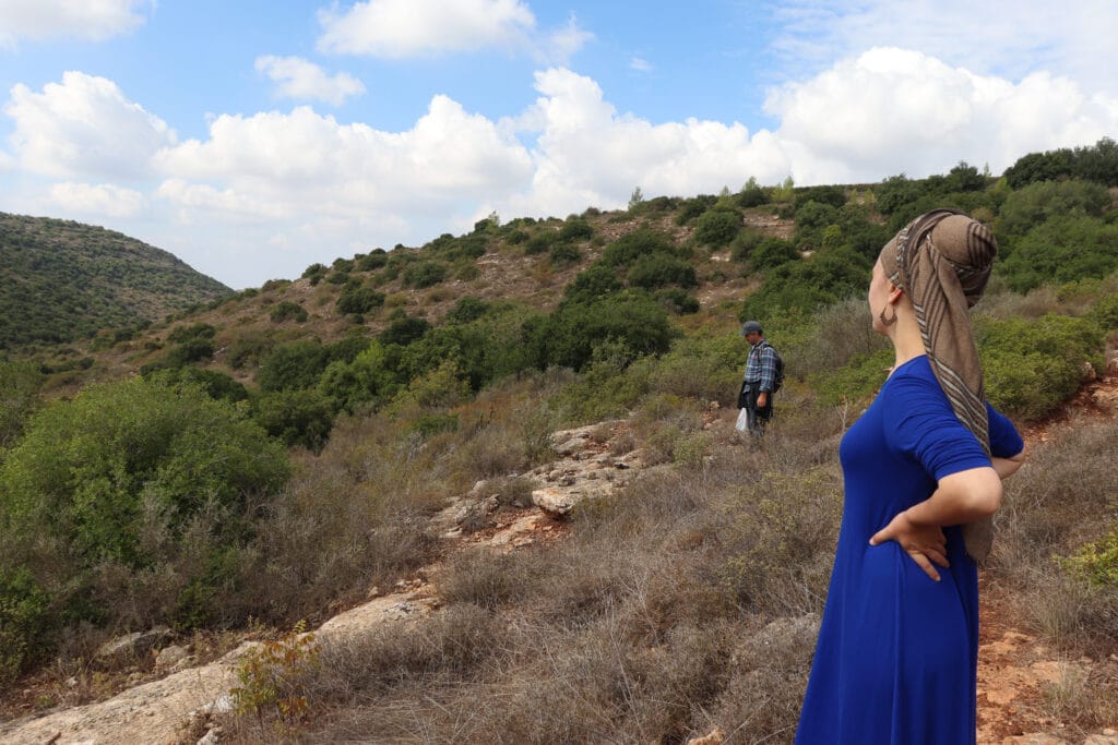
Calling all bus riding Jerusalemites: Have you been craving some time in nature but feel like you’re stuck in the city? I’ve got good news for you. There are dozens of hiking trails around the Holy City which are easily accessible by public transportation.
Everyone knows there are great things about living in Jerusalem: good restaurants, the shuk, religious and cultural events. But some city dwellers feel cut off from nature. For those without cars, long hikes in the great outdoors can feel out of reach.
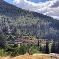
But Jerusalem’s got a secret: the city is surrounded by one of the most beautiful natural areas in all of Israel, known as the Jerusalem Mountains. This region features a complete and well-marked network of hiking trails, one of the best in the country. Not only that, but Jerusalem has an excellent public transportation system. Put these two perks together and you’ve got an easy way to get out into nature.
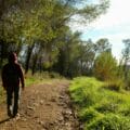
In this guide, I’ll cover 10 trails around Jerusalem that are easily accessible by public transportation. On these hikes, you can explore the woodlands, peaks, and pretty nature paths of the Jerusalem Mountains, one of the most beautiful parts of Israel.

Let’s get to the trails:
Mount Eitan
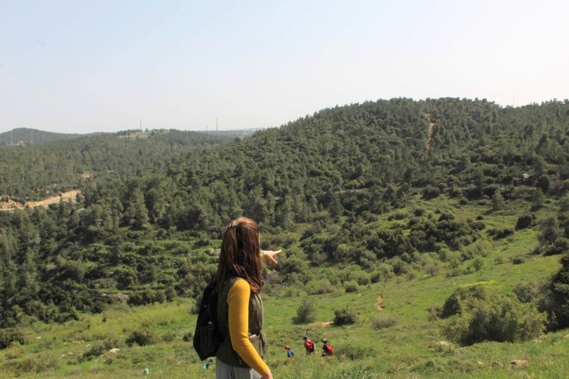
Let’s start with Mount Eitan, one of my all-time favorite hikes in the Jerusalem area. This gorgeous trail encircles a mountain peak. It is an 8 kilometer walk that remains relatively flat throughout.
Along the way, you’ll see beautiful forests and breathtaking views out to the surrounding area. And the Upper Sataf Parking lot (where the trail begins) is only a 30 to 40 minute ride from the Central Bus Station in Jerusalem.
Every Jerusalemite should get to know Mount Eitan, and the other trails that surround it.
The trail at Mount Eitan is 8 kilometers long. Read the full post with maps and Moovit links.
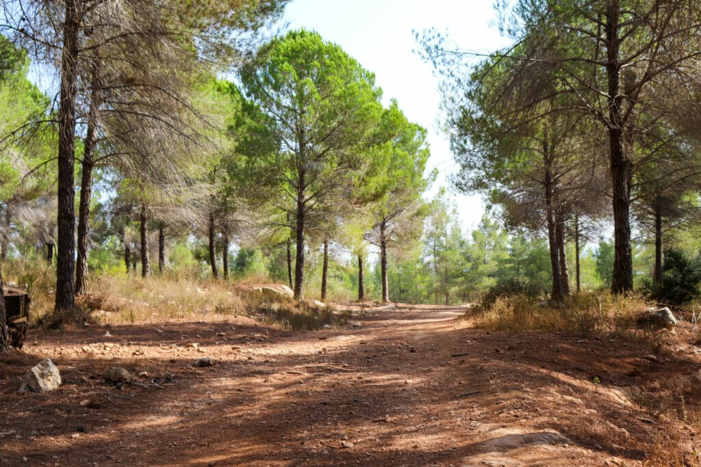
Sataf
After you’ve taken a long walk around Mount Eitan, it’s time to get into the thick of things: with a rambling trail through Sataf. Sataf is a rehabilitated Biblical landscape. Along the trail there are forests, olive groves, and carob trees in terraces. There are shady spots and sunny ones, beautiful lookouts and welcoming woods.
At the bottom of the blue trail, you’ll reach Sataf spring, where you can climb through a dark tunnel filled with water. Then, explore Bikura spring before climbing back up to the trailhead.

This trail at Sataf is about 4 kilometers long and begins from the same parking lot as the Mount Eitan trail. Read the full post with maps and Moovit links here.
Mount Heret
Right next to Mount Eitan, you’ll find Mount Heret, and a lesser-traveled trail around a different mountain peak. You can take a bus right to the trailhead.
Mount Heret is much quieter than Mount Eitan, but it’s also a little less easy to follow. The trail takes you around the top of the mountain to a spring (only full during rainy season). Then, cross through the woodland on top of the mountain to complete the loop. You’ll also happen upon a huge, abandoned quarry on top of the mountain.
The trail at Mount Heret is about 7 kilometers long. Read the full post with maps and Moovit links here.
Cheater’s Hike
The Cheater’s Hike leads from the quaint neighborhood of Ein Karem, through the Jerusalem countryside, and into the community of Beit Zayit. So why is this called a cheater’s hike? At the end of the trail, you can treat yourself to brunch at Café Derech HaGefen, one of the cutest cafes in the Jerusalem area.
The café has a large seating area out in the garden, so you can stay in tune with that nature vibe even while you’re sipping lattes. After a delicious brunch, call it a day and catch a bus from Beit Zayit, or head back through the countryside in the direction you came from. The trailhead for this hike is a 30 minute bus ride from the Central Bus Station.
The Cheaters Hike is 3 kilometers each way. Read the full post with maps and Moovit links here.
Nahal Halilim
Nahal Halilim means Flutes Valley. This trail near Mevasseret is thus named because of the caves along the way: when wind blows through them, it can sound like flutes are being played.
Nahal Halilim is only a 30 minute bus ride from the Central Bus Station in Jerusalem. If you walk there in the winter and spring, you’ll see colorful wildflowers peeking up from along the sides of the path. This hike is a great choice for an easy escape into an area of natural beauty near the city.

Nahal Halilim is 2 kilometers each way. Read the full post with maps and Moovit links here.
Har Giora
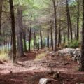
Looking for a more serious escape into nature? Try Har Giora, a beautiful woodland trail near Mata, a Yishuv near Jerusalem. This quiet trail heads past vineyards and into a shady forest. Along the way, you’ll head through a dense thicket of oak and strawberry trees (K’talav in Hebrew).
At the top of the mountain, an ancient sheikh’s tomb awaits. Take in the views from the top before continuing along the 7 kilometer loop trail.
All of this secluded beauty is only a 50 minute ride and 8 minute walk from the Central Bus Station in Jerusalem.
The loop trail at Har Giora is about 7 kilometers. Read the full post with maps and Moovit links here.
Springs Trail
Jerusalem gets hot in the summertime. If you’re looking for a place to cool off, try the Springs Trail near Yad Kennedy. This pretty trail leads past several freshwater springs. Some are knee-high and others allow you to immerse completely.
Along this path, there are also forests to enjoy and caves to explore. The trailhead is only a 45 minute bus ride and 15 minute walk from the Jerusalem Central Bus Station.
The Springs Trail is about 3 kilometers in each direction. Read the full post with maps and Moovit links here.
Masarek Park Sunset Trail
Pack up a picnic and head out to watch the sunset from one of the most beautiful spots in the Jerusalem area: the Masarek Park Sunset Trail.
This short and easy trail near Beit Meir (another Jerusalem suburb) takes you through an inviting forest towards a lookout. Sit here to watch the sun setting over the surrounding hills in a panoramic view. Then, just before it gets completely dark, follow the green arrows along the rest of the trail, past a sheikh’s tomb and some old army bunkers in the woods.
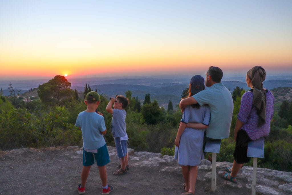
This trail is only a 45 minute bus ride and 10 minute walk from the Central Bus Station in Jerusalem.
The Masarek Park Sunset trail is about 2 kilometers long. Read the full post with maps and Moovit links here.
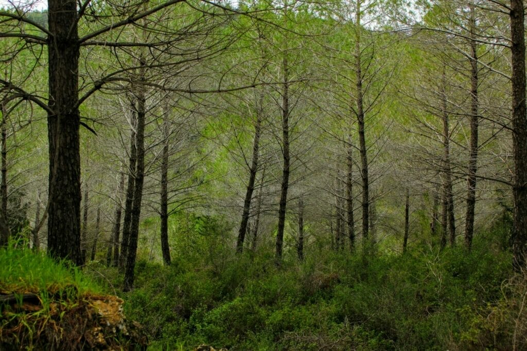
Nahal K’talav
Nahal K’talav is one of my all- time favorite trails in the Jerusalem area. In this shady stream bed, you’ll encounter quintessential Mediterranean beauty. The trail heads down into the valley next to the Sorek Stream, then climbs back up the mountain past gorgeous views and into a pine forest.
Along the trail, you may discover all sorts of good things to eat, especially in the summer months. Go on the search for wild raspberries, grapes, and herbs as you walk. In the winter and spring, the trail is lined with colorful wildflowers.

The trailhead at Bar Bahar Cafe is about a 1 hour bus ride from the Jerusalem Central Bus Station. The full hike at Nahal K’talav is 8 kilometers long. Read the full post with maps and Moovit links here.
Nahal K’talav Scenic Trail
If you aren’t up for a strenuous hike, try this shorter trail at Nahal K’talav. The Nahal K’talav Scenic Trail travels above the streambed, for a unique perspective on the beautiful valley below.
In the summertime, we like hiking this trail as the sun sets. During the rest of the year, pretty views, flowers, and shady spots to stop and rest make this trail a winner at any time of day.
Don’t forget to stop at Café Bar Bahar for an all natural popsicle once you complete the loop!
The Nahal K’talav Scenic Trail is 2 kilometers long. Read the full post with maps and Moovit links here.
Bonus Trail: Mount Sansan
It’s hard to stop at just 10 hikes near Jerusalem, so here’s an extra one for you: Mount Sansan near Mata. This isolated trail is only a 50 minute bus ride from the Jerusalem Central Bus Station. It’s not particularly well-known, but it is particularly beautiful.
Once you get there, you’ll follow the red trail past a spring, through vineyards, and up a narrow streambed. Towards the end of the hike, you’ll climb to the very top of Mount Sansan. Take in the beautiful views from the top before turning back the way you came.
The trail at Mount Sansan is 7 kilometers long. Read the full post with maps and Moovit links here.
Getting outdoors is an important part of maintaining a well-balanced and happy life. If you’re in the Holy City, the Jerusalem Mountains are a great place to make this happen. Use these 10 trails to go out and explore the wilder side of the city of Jerusalem. With a bus ticket and a backpack in hand, you’ll have everything you need to get out into nature.


See more Jerusalem hikes here.
To find out how to pack a day bag for hiking in Israel, check out this Hiking Basics article, How to Pack Your Backpack.
Find more nature trails around Israel at hikingintheholyland.com
For a printable eBook about Jerusalem Area Hikes click here.


This list is great, can start to check then out.
Can you add in the number of the bus for each hike, that would be amazing and super helpful, thank you!!
The word “Bus” is used 22 times in this article and it is titled “10 Jerusalem Hikes an Easy Bus Ride Away”. NOT ONCE is there a number to know which bus to consider.