
| Trail Map | Terrain View | |
| Distance: 2km | Time: 1 hour | Difficulty: Easy |
| Ascent: 30m |
When we first moved to Israel, fifteen years ago (could it be??), we had two small children and lived in the Bet Shemesh area. Hiking back in those days meant something short and easy – a hike that would take normal adults half an hour took us two hours with our babies in tow.
Once, on an inside tip from a neighbor we went searching for something called the Schuster Trail (now simply called the Shvil Nofi Nahal Katlav), part of the American Independence Park in the Nes Harim area.
After our first trek along this path, we were hooked for life. With lots of shade, beautiful greenery in every season, and stunning views this walk was an instant favorite.
These days, whenever we want to go on an easy family hike, we pack a bag and head to the Schuster trail. It’s only fifteen minutes from Gush Etzion (and about the same from Bet Shemesh).
The Hike
We start at the trail head at Bar BaHar – a popular café in the forest. As we follow the path to the trails on the right hand side of the shop, we soon reach the red and white trail marker which indicates the start of the small loop through the forested mountains where we’ll spend the next hour.

Up, up, we go, over the rocks and through the trees. Our little guys run ahead to find the red and white signs which show us we are on the right path. This hike is great for kids who want to feel like they are really exploring – there are little ascents and descents the whole way through, but nothing so challenging that a three-year old can’t make it over.

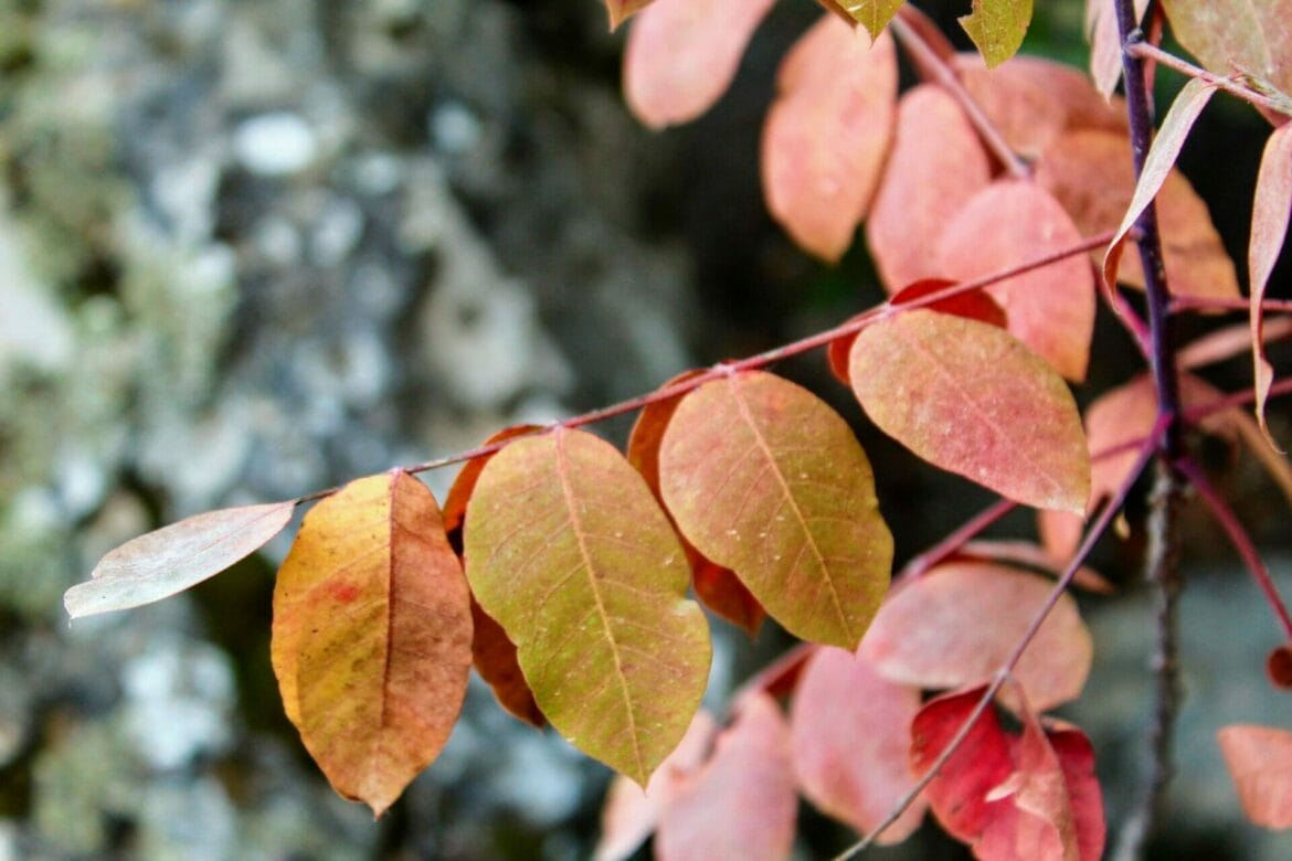
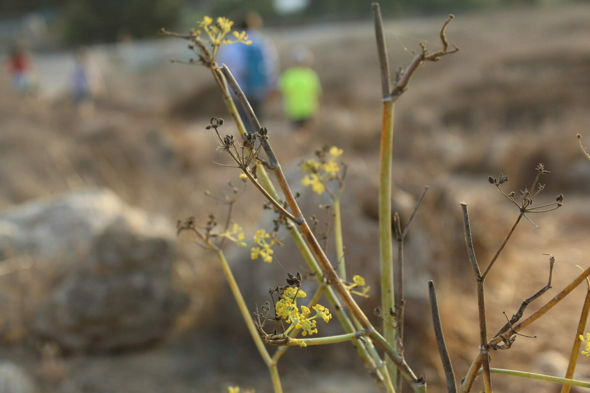
For the rest of us, the views are spectacular, especially in the early morning or late afternoon sun. And depending on the season, there are different kinds of wildflowers along the way.
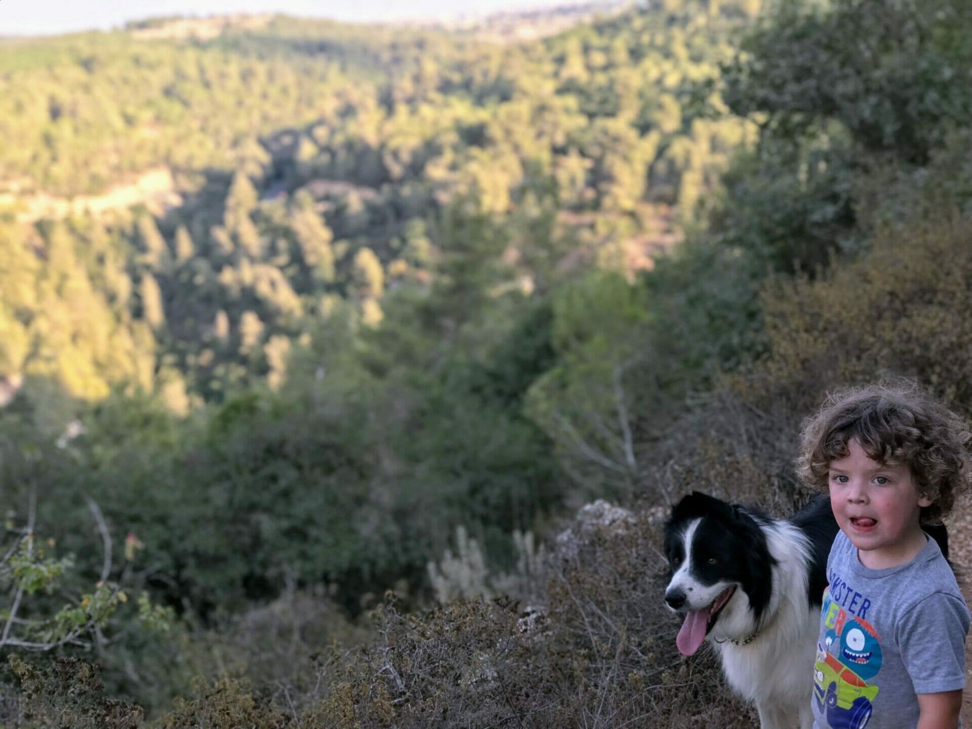
Another fun feature for our kids is that there are many inviting stopping points throughout the trail. There are tree log benches hidden under canopies of oak trees. And a semicircle of stone seats perfect for a picnic. We stop every once in a while for a rest, a drink of water, or some tree climbing.

Depending on how active we’re feeling that day, this hike can take anywhere from thirty minutes to two hours. Once we’ve reached the trail’s end, we head up the dirt road for three minutes until we’re back at Bar BaHar.
So even if we’re short on time, we can still go exploring on this little loop trail nearby. Seeing nature up close and feeling the peace of the countryside – it’s a perfect way to spend a lazy afternoon.

Hikers’ Notes:
This hike is great for little kids – but it’s not stroller friendly or handicapped accessible. You need to be able to climb some steps to make it through.
Stay tuned for maps which will bring you straight through this hike. In the meantime, use the Waze link to get you to the parking lot. Once you’re out of the car follow the path on the right hand side until you see the red trail. This trail takes you all the way until the steps near the end. Here you’ll turn right to follow the black trail (Nahal Katlav) back up to the road.
For a slightly longer hike, follow the path on the left hand side of Bar Bahar. Here, the red trail officially begins. You’ll spend a few minutes on this part of the trail before joining up with path described above.
Comments? Suggestions? Let me know what you’re thinking in the box below!


Great post — what would you say is the best time of year for this hike?
Hi Nati! Thanks for reading and commenting.
We’ve done this hike in every season. It’s even nice in the summer because there’s shade (as long as it’s not a really hot day). But the best is definitely spring when everything is really green and flowers are blooming.
I love this Hike!!! Even though I am not in great shape, I was easily able to do this hike. It was so beautiful! Thanks so much Susannah!!
Hi! Just did this hike this morning based on your post here! Perfect for the amount of time that I had! Just one note, we couldn’t find the trail when we looked for “the schuster trail”. When we asked the kkl rep there he said the name was changed to נופי נחל קטלב. Thanks for all your great posts!
It’s a testament to the fact that we’ve been hiking this trail for 15 years 🙂 Back then, there was a small sign calling it the Shvil Schuster, after a donor. It’s still marked like that on some old KKL maps. But you’re right – to make it easier for my readers I will go ahead and change the post title right now.
Thanks for the great feedback. I’m happy you enjoyed the hike.
Is there a place along the trail to set up a mangal and grill? Thanks!
I have been on this trail dozens of times and have never seen anyone grilling, so I’m not sure if it’s allowed or not. That said, there are plenty of beautiful picnic spots!
Thanks for your question.
Susannah
Just did this hike with my family (this included my 3 year old). We all really enjoyed it. Just a reminder to go straight on the trail when you walk to the right of the restaurant…the trail also goes down to the left after you start out, but this is more of a dirt/gravel road and it isn’t the trail. Besides that…it was a wonderful trip for the entire family. Thank you so much for the suggestion
Thanks for your comment!
hi i love your posts about israel!
I am wondering if i can publicize some of your ideas and insights in a new english magazine- hoping to inspire new residents and olim about israel.
p.s.
I would be happy to include your name/info/webpage etc. or even just about you on thatpage!
please be in touch,
thank you!
Is this accessible by public transportation?
Yes. Click the Moovit link in the table up top for easy public transport info.
This sounds great and easy to follow!
For us directions-challenged people, how do we know we are at the trail’s end? Does the path actually just end? And is it clear how to walk back up to our starting point?
Thank you!
Yep, the path just ends. And you just follow the path back the way you came 🙂