
| Trail Map | Terrain View | |
| Distance: 11km | Time: 3-4 hours | Difficulty: Moderate-Strenuous |
| Ascent: 370m |
Click here to go straight to Hikers’ Notes:
If there’s anything I’ve learned over the course of a year of weekly Friday hikes, it’s that there is a lot of beautiful woodland in the area around Jerusalem.
After much exploration, I know that there are long and winding trails that lead through quiet pine tree forests only fifteen minutes from home. And for anyone who can use a map, there are even more trails to choose from–teeny tiny little trails on which it’s rare to meet another human.
These hikes often hold some of the greatest beauty around. There’s something special about walking down a woodland path in total silence. Or resting under an overhang of trees with the knowledge that no one will cross your path.
Last week we went on a ten kilometer hike in the Jerusalem Mountains. And although the walk began on Derech HaCaesar, a well known trail that was once a Roman road, it soon proceeded off the beaten track into a deserted paradise.
One could simply stick to the first part of the trail and then pick up a second car or return in the same way. But we had fun wandering through unspoilt terrain on a much longer hike.
Here’s how we hiked this trail through Derech HaCaesar and out into the great unknown:
A Dark and Shady Pathway
The hike began in the parking lot at Park Begin. We followed the red markers to hop onto the trail.
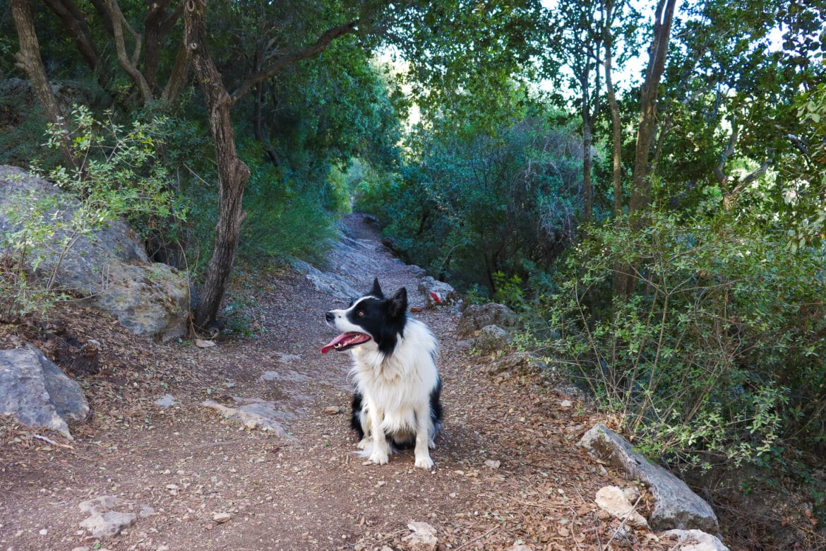
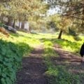
Right away, the pathway was shady and beautiful. A pine tree forest stretched out around us. And pretty soon, the red trail veered down into the trees.
We walked for a while like this between the plants and through the shade. Out in the distance, we could see a mountainside full of pine trees, creating a particularly beautiful pattern in the morning light.
We followed the path a bit further, eventually reaching an old cistern that sat empty preceding the winter rains. From here, we turned to the left where the trail crossed the highway.
Back into the Trees
It’s always a bit surprising to cross a highway in the middle of the hike. But the truth is, it didn’t upset our rhythm.
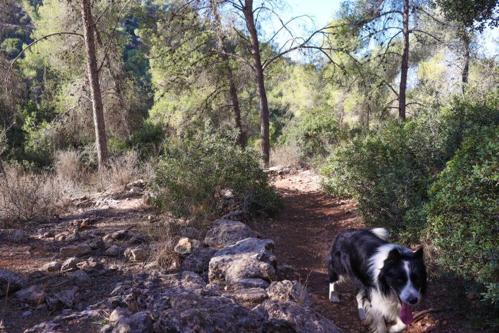
Derech HaCaesar continued beyond the highway and was just as dark and beautiful as the first part of the trail. The only clue to the road’s proximity was the faint traffic noise we could hear from behind our wall of green.

On we traveled, through a tunnel of gnarly oak trees. This was, perhaps, the most beautiful part of the trail.
Even though the winter rains had not yet begun, the area all around was lush and green. And fallen yellow leaves lined the ground creating a perfect pathway.
At the tail end of Caesar’s Way, we reached an ancient set of stone steps, built at a shallow incline for horse drawn chariots. We climbed down and continued the trail to the end, where an old wine press and a crushing room marked the tail end of Derech HaCaesar.

Life is a Highway
This is where the hike got a little bit tricky. We left Caesar’s Way to cross the highway and began to follow the blue trail/ Israel trail. It led up through a forest, and then passed next to an open field.
On this part of the path, the highway was more of a presence. But we didn’t really mind, as we knew we would be out in the middle of nowhere soon enough.
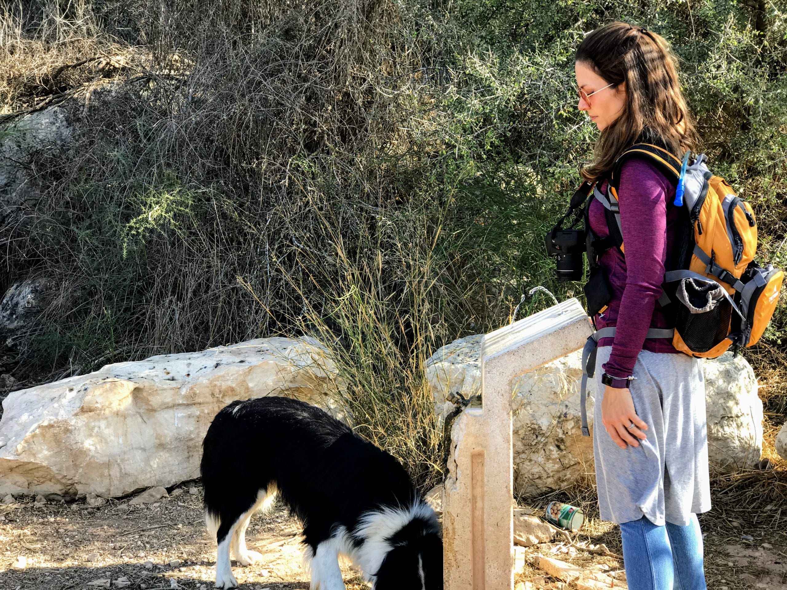
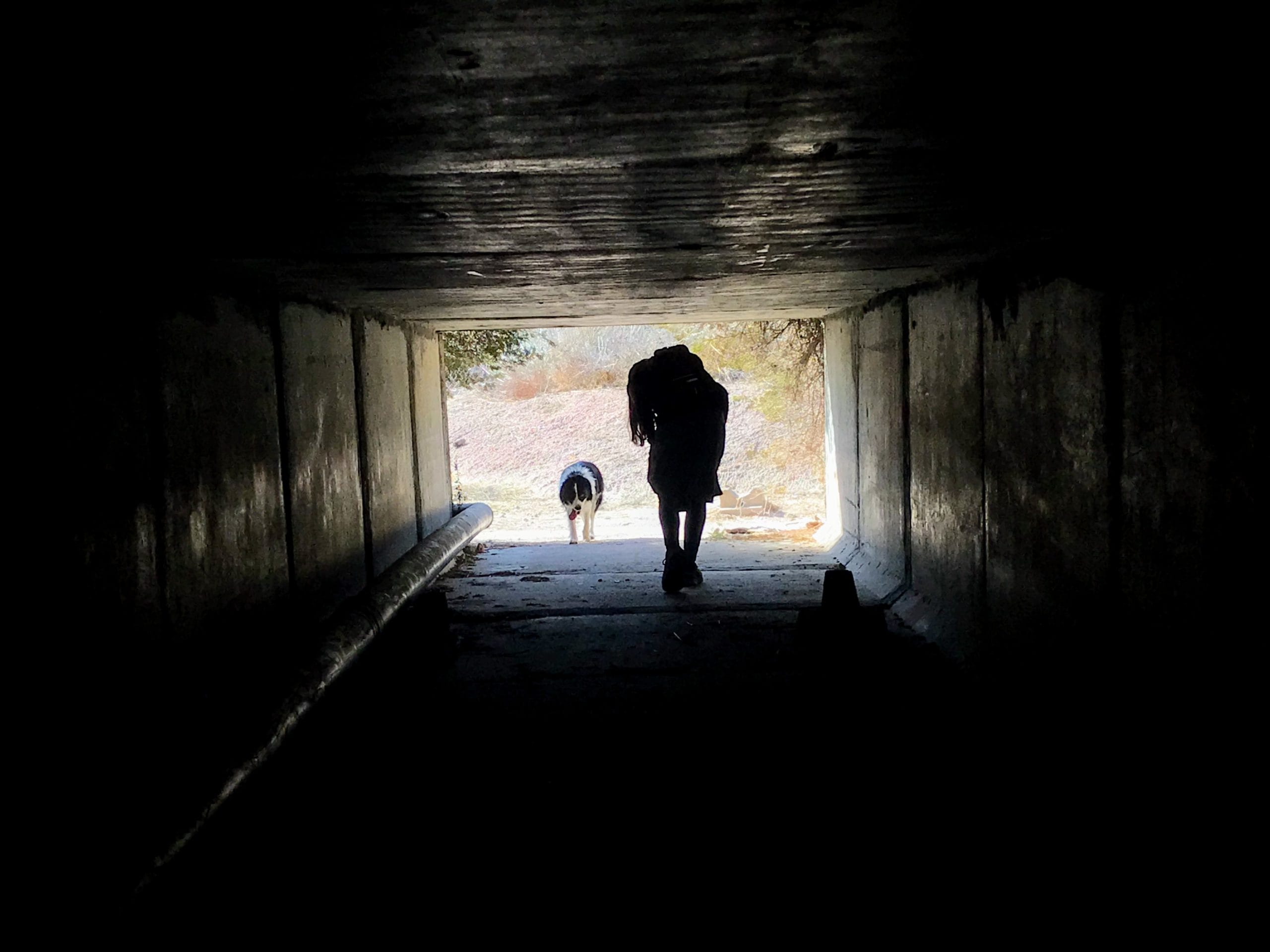
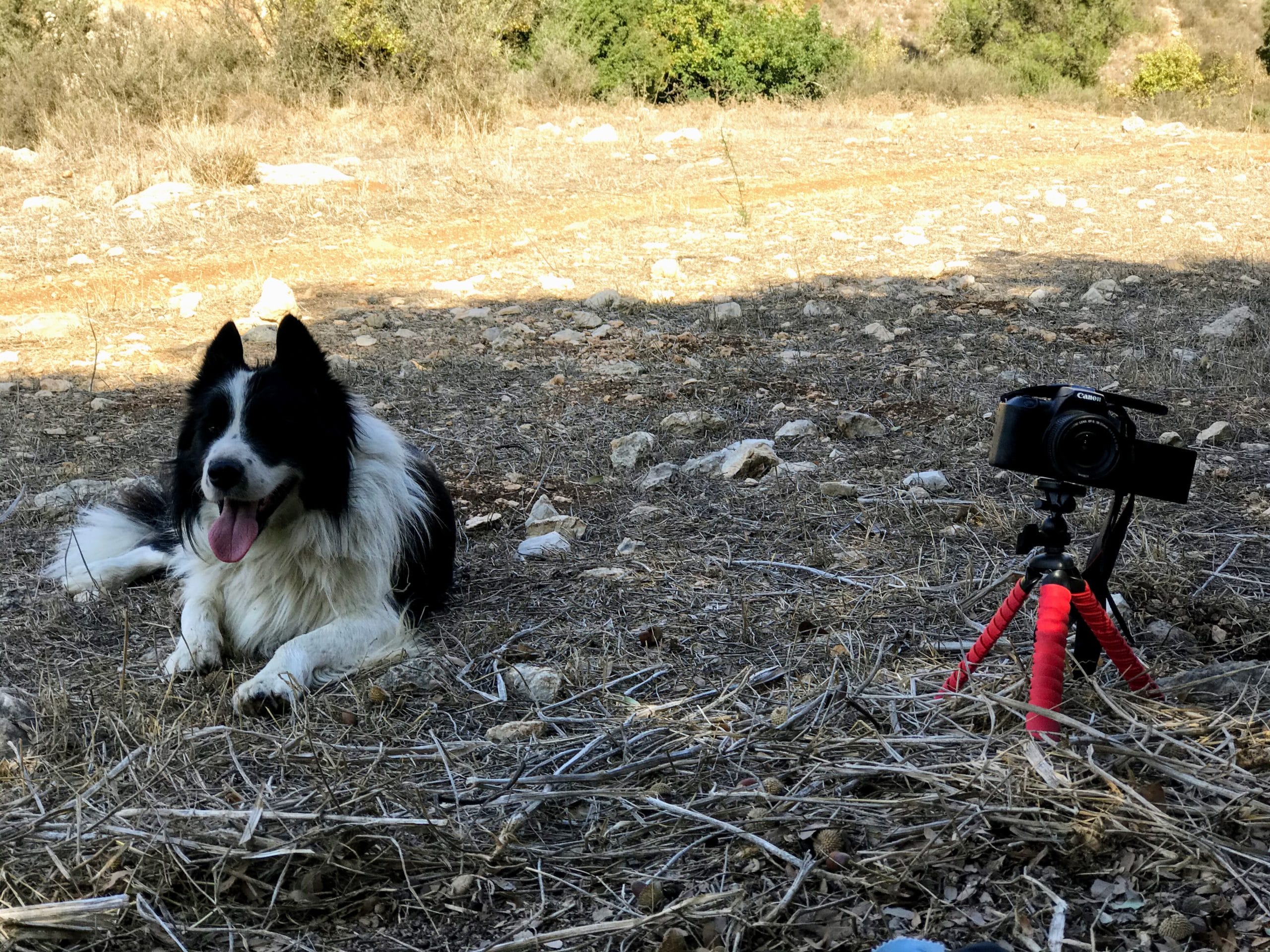
We passed by a fountain connected to an underground water source, where we stopped to let our border collie take a drink. And then, we made our way along the Israel Trail through an under-road tunnel and out to the other side.
As far as trail markers go, that was the end of the line. After the highway, we made a left onto the first unmarked trail and followed it across the last busy road of the hike.
And Finally, Silence
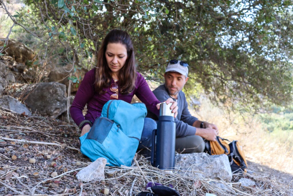
Except for the fact that it would be hard to explain this hike to others, we weren’t sad to leave the marked trail. Pretty soon, we were sitting above a dry riverbed (Nahal Sansan) under a canopy of oak trees, ready for a relaxing brunch in the middle of nowhere.
It was a silent and beautiful place to stop. As we sat there, coffee cups in hand, we felt very blessed that we had access to gorgeous trails like this one, that began only fifteen minutes from home.
After sitting for a while to take it all in, we got up to get going. We didn’t know what kind of scenery lay in store. But we were ready to find out.
A Secret Riverbed
The unmarked path continued, into a dry canyon full of large river rocks. Flat stone formed the sides of the channel, slanted this way and that, smooth to the touch. And an abundance of trees grew from right here, making this walkway cool and shady.
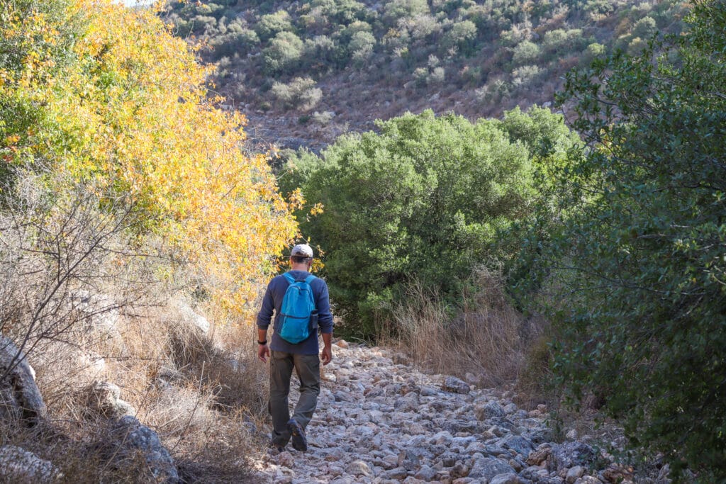
For the most part, the path stayed inside Nahal Sansan, every once in a while heading up, then crossing back through in the other direction. We paid careful attention to the map to make sure we didn’t accidentally veer off the trail.
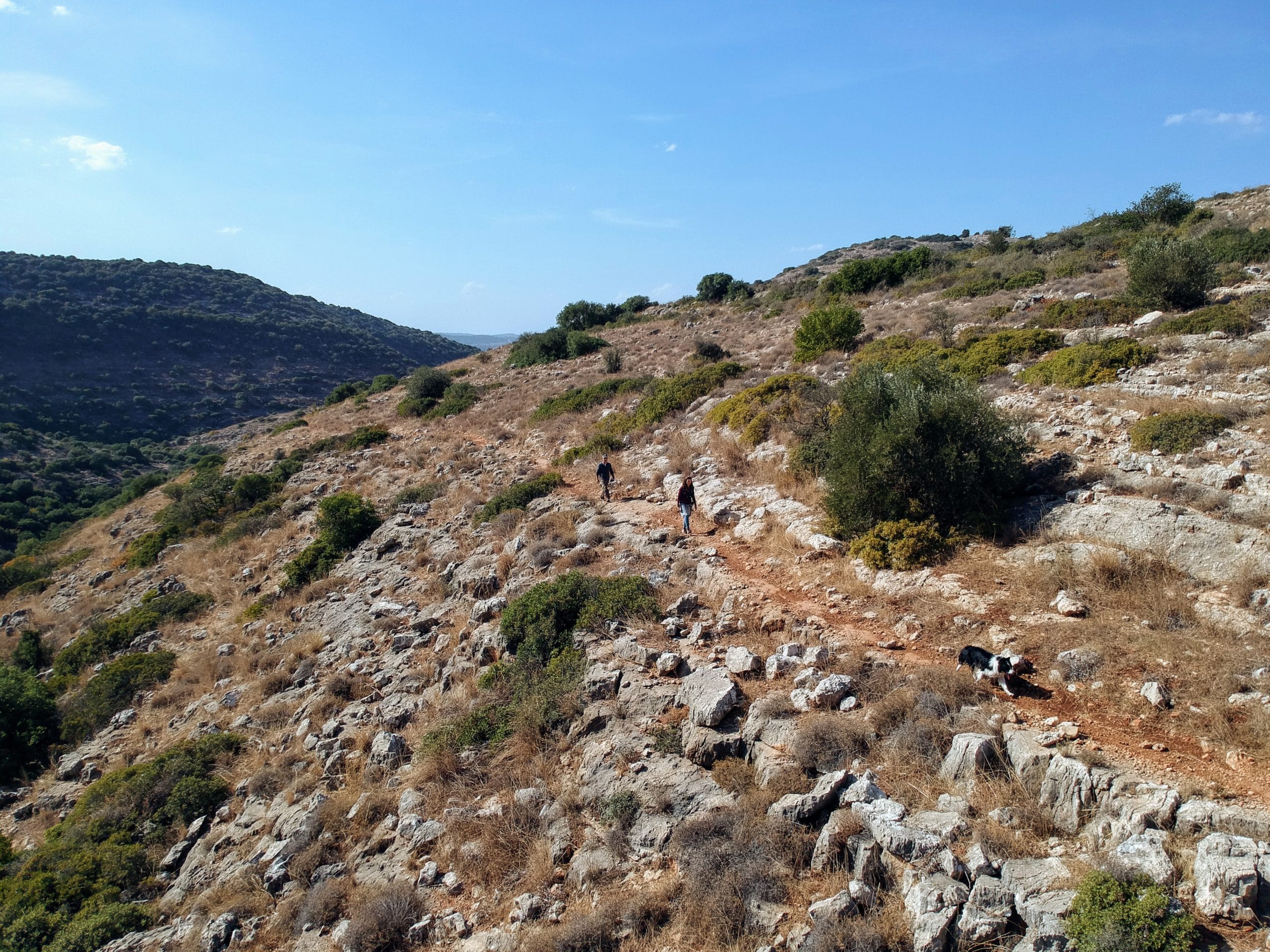
After a long wander downriver, the trail brought us up and out into the sun and open grassland. The views became more spectacular as we ascended. And soon, we could look back to see the green channel that Nahal Sansan had carved in between two tall hills.
Towards a Different Kind of Forest
On this last part of the trail, we imagined just how green and beautiful the whole thing would look after the winter rains. As it was, wheat colored grass stretched out in every direction.
We climbed further and were back in the trees again. And then, before we knew what was happening, we stumbled into one of the most unusual and peaceful forests we’d seen in the area.
Tall pine trees reached into the sky. And although pines are evergreens, these trees weren’t green. It was clear that there had been a forest fire.
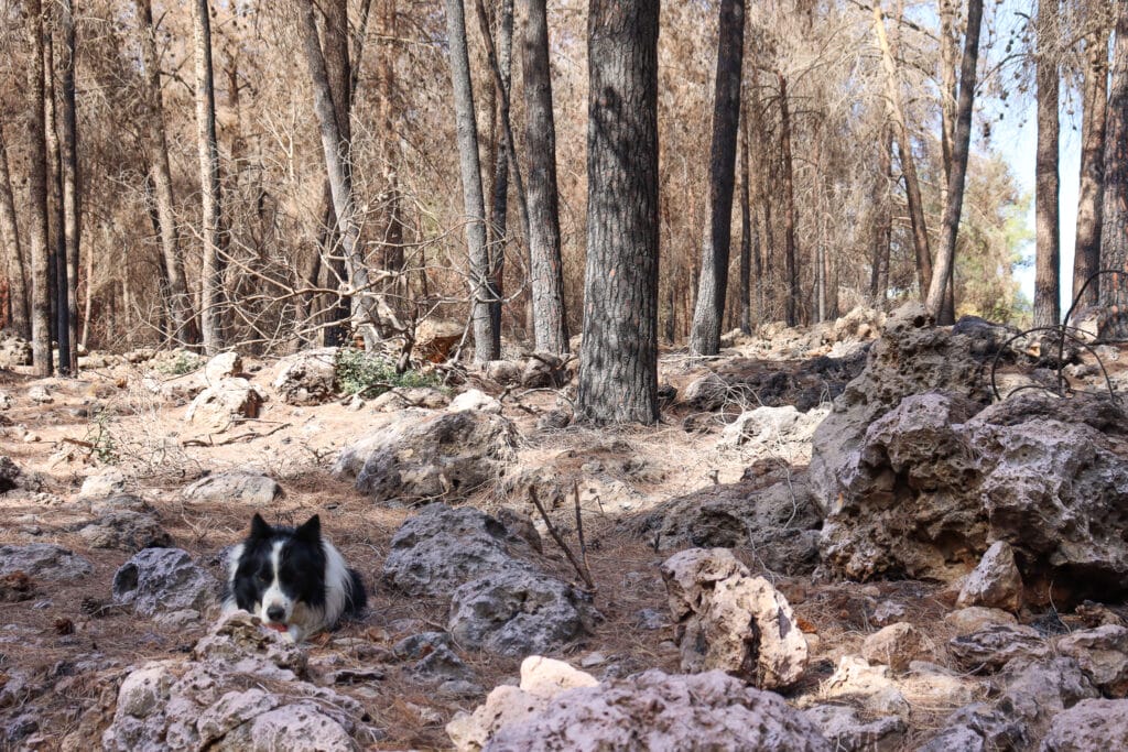
Usually, the trees left behind after a fire are charred and black. But this little woodland was rich brown in color, with a reddish tinge.
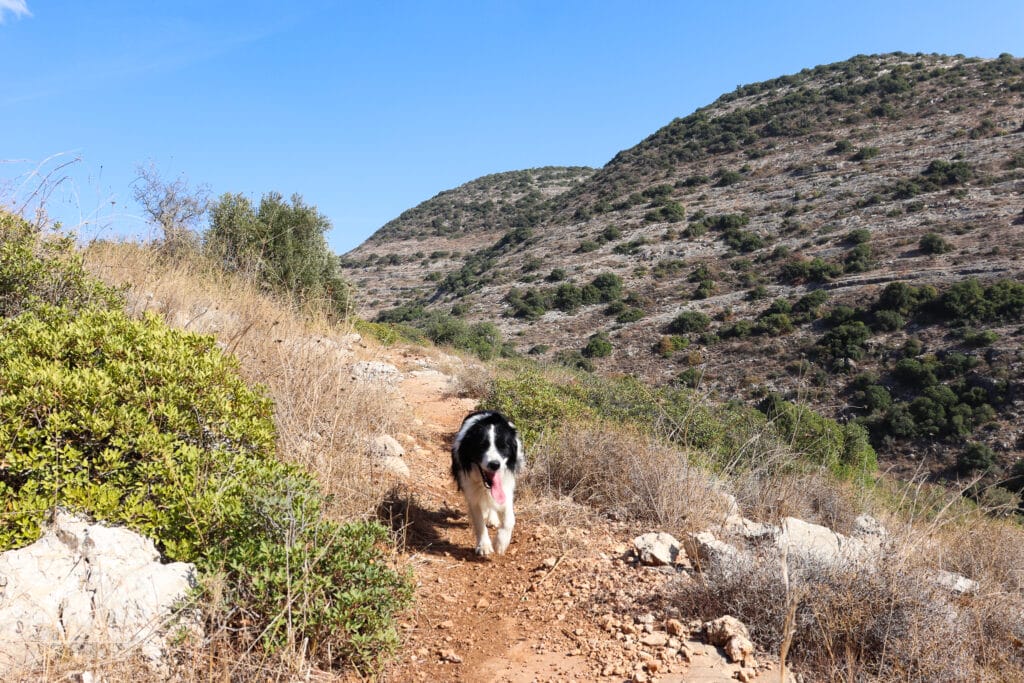
Our dog looked especially colorful in his black and white fur coat, framed by monotone trees.
Full Circle
Another kilometer of walking in the forest and we were at the highway, crossing towards the trailhead in Park Begin. Back in the parking lot, there was a tour bus and a crowd of teenagers, making merry after a morning adventure. Life had returned to its regular noise level.
But it doesn’t take much to find peace and solitude, at least in this part of Israel. Whether you stick to the marked trail or wander off of it, all you have to do to leave the crowds is head out into nature.

Hikers’ Notes:
Here’s what you need to know about this trail:
- This hike is off the beaten track and only suitable for those who are comfortable using maps. Some of the trails are not marked at all.
- You may not have phone/internet reception for much of the hike, but you will have GPS service to use the Google Earth file or Amudanan. Barring that, use a paper map and compass.
- You can hike Derech HaCaesar on its own, then go back the way you came. This is a short, pretty hike.
- Suitable for all seasons but prettier in fall, winter and spring.
- Suitable for dogs.
- Make sure to bring plenty of water and good walking shoes.
Don’t forget to use my guide to the navigational features in this post before you hit the trail!
Trail map from Amud Anan.
Questions? Have you hiked Derech HaCaesar or beyond? Leave a message in the comments!


Hi
The trail map link seems to be down.
Thanks for letting me know. It’s fixed now.
Susannah
Is there public transportation to get here?