
| Trail Map | Terrain View | |
| Distance: 10.5km | Time: 3 hours | Difficulty: Moderate - Strenuous |
| Ascent: 388m |
Click here to go straight to hike notes.
Deep in the forest between Beit Shemesh and Gush Etzion, a quiet woodland paradise awaits at Matta Forest.
There are several trails that wind their way through this beautiful green area. Last week, we took an 10.5 kilometer hike that traversed Matta Forest in one direction and traveled back up along Nahal Zanoah.
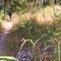
The trail was quiet, shaded, and for the most part, free from foot traffic of any sort. This meant that we were able to enjoy a peaceful walk through nature without any distractions.

Here’s how we hiked this 10.5 kilometer loop trail through Matta Forest and Nahal Zanoah:
Surprise! – You’re in for a Great Walk
We parked the car at the Derech HaCaesar trail head – the same place where we had begun two different hikes in the previous weeks. This time, we were going to cross the highway and start off on the green trail.
We had no idea at all what the green trail would look like. But we could see on the map that the path headed through Matta Forest towards the highway on the other side.
If we took this path, we figured we could put together a nice long loop trail that covered some of the same type of scenery we had seen on our previous hikes. We hoped that this trail would be well marked and easy to follow.

Within minutes of setting out on the green trail, we could see that we had made the right choice. A wide path stretched out into the forest, with green trail markers at regular intervals.
The walk was well off the highway – no traffic noise (or noise of any other type). Instead, we walked in a silent and beautiful forest, the perfect setting to lose ourselves in conversation.
Flower Break
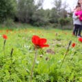
After a little while, we pulled off to the side of the trail for a break. We found ourselves on a carpet of pine needles, with clusters of cyclamen blossoms popping up from between the rocks. On one side, we could see the valley down below. Pine trees towered up all around us.

There wasn’t anything spectacular about this spot – no killer views or rushing waterfalls. It was just the regular natural beauty of a forest in the Jerusalem Mountains that we’ve come to take for granted. Little pink and white flowers in the wintertime: it’s all part of what we experience on a regular basis on Friday hikes close to home.
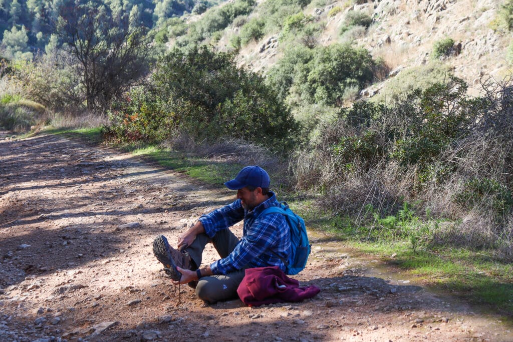
After a cup (or two) of coffee and muffins from our favorite local bakery, we repacked our bag and got back on the trail.
We’re on the Road Again
A few kilometers later, we reached the highway, the only tricky part of this hike.
We approached the tunnel to cross to the other side of the road. In recent days, there had been heavy rains, so the tunnel was flooded. Rather than swim through, we crossed the highway up top. Then, we took a short walk on the side of the road and turned onto the blue trail.

The blue trail would follow along with the Israel Trail for a while, then branch off to the side towards Nahal Zanoah.
Life on the Blue Trail
Lucky us. The blue trail took us through the same type of quiet woodland that we were walking through before. Pine trees towered high all around us. And off of the sides of the path, little clusters of winter flowers bloomed – the first blossoms of the season.
We walked along, happy to wander through the forest on this lovely trail.

Soon, the path split into two, Israel Trail heading to one side, blue trail to the other. We continued to follow the blue trail as it wound its way past a large quarry and towards Nahal Zanoah.
Lookout to the Riverbed
As we walked, we could see the green valley to our left. On the right was the rock wall of the mountain, and a forested area above. White narcissus flowers sprouted from between the rocks.
We hadn’t noticed earlier that we were walking downhill, but we must have been. Because this part of this path took us on a slow and steady ascent.
Several kilometers later, we were approaching the end of the line. We had covered forests, highways, and a walk above a green valley. And we had been lost in thought and conversation the whole way through.
Back at the trailhead, we took stock of the day’s adventure. It had been exactly what we were hoping for – well marked, beautiful, long, and quiet.
This hike through Matta Forest in Nes Harim may not have been a showstopper. But it was a classic walk through one of the most beautiful parts of Israel.


Hikers’ Notes:
Here’s what you need to know before setting out on this hike:
- This is a circular trail.
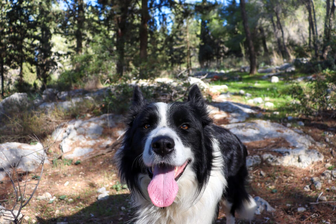
- The trail is suitable for dogs.
- Good for all seasons.
- Use the trail marker gallery and the trail map to find your way. You can also follow your location along the trail in Google Earth by downloading the Google Earth file.
Don’t forget to read my guide to the navigational features in this post before you hit the trail.
Trail map from Amud Anan.
Questions? Have you hiked through Matta Forest? I’d love to hear about it in the comments!


Please contact me about hiking. Friend is Susan Lamdon. On Whatsapp at +1-845-255-1045. USA phone. Coming to Israel next week
Hi, we tried this walk yesterday and we were very disappointed. It was a gravel road the whole way without any shade. Is it possible the road has been reconstructed?
Thanks for this walk we did it this weekend with our 2 year old using your Google Earth map which was spot on. Gorgeous last few km coming up in the sunset to the trailhead. Thanks so much for your awesome website!
Thanks for the great feedback!
Great hike! Definitely worthwhile to download Google Earth before the hike for the connection from the green trail to the blue trail. As we found out, there are a few more roundabout ways to get to the blue trail via dirt paths near the highway but they can add on several kilometers. All and all a good open hike for a relatively cool day like today (68° F=20° C high) as a good portion of the hike is in between pine trees, but not under a canopy of shade. Thank you!
Wonderful. Thanks for your comments and feedback!