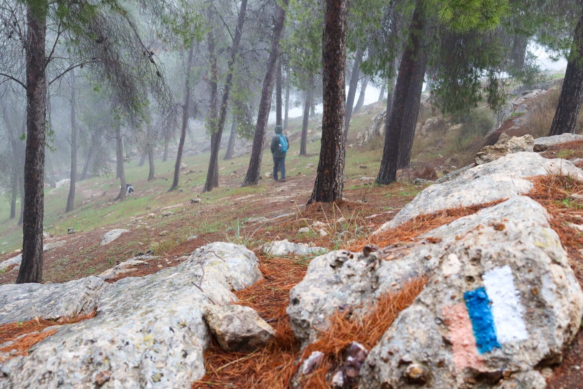
| Trail Map | Terrain View | |
| Distance: 8.5km | Time: 3 hours | Difficulty: Moderate |
| Ascent: 256m |
Click to go straight to hike notes.
Have you ever been to Yatir Forest?
Until last Friday, I hadn’t.
Yes, we had passed by the forest dozens of times. It was there on the side road, every single time we drove down to the desert. And every time we passed by, my husband said the same thing: You know, it’s the biggest forest in all of Israel?
And every single time, I looked out the window and said: Really? Maybe the biggest forest…with the smallest trees.
That’s because Yatir Forest just doesn’t look very enticing – from the highway.
But this week, on a foggy and cold day, a space in my heart opened up for Yatir Forest. I decided it was time for a visit.

Looking at the park on a map, the forest seemed massive. It was actually really difficult to come up with a reasonably sized circular hike. But we examined the map until we had a good solid loop trail. And we set off for Yatir.
We were only in the forest for a few minutes when I realized: we had been missing out. The trees in Yatir may be on the younger side, but the forest is vast, green, and beautiful – and well worth a visit.
Here’s what we discovered while wandering through Yatir:
Israel Trail, Here We Come
I guess I should have figured: if the Israel Trail runs through Yatir, it’s gotta be good.
After parking our car, we grabbed our backpacks and set out through the woods, following the Israel Trail. It was cold and misty out, but we didn’t want to bundle up too much. We figured we’d probably warm up after a few minutes on the trail.
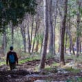
This part of our hike brought us through a dark and beautiful forest. I’m not sure what Yatir looks like on a sunny day, but with the fog hanging in the air, our surroundings were almost magical.
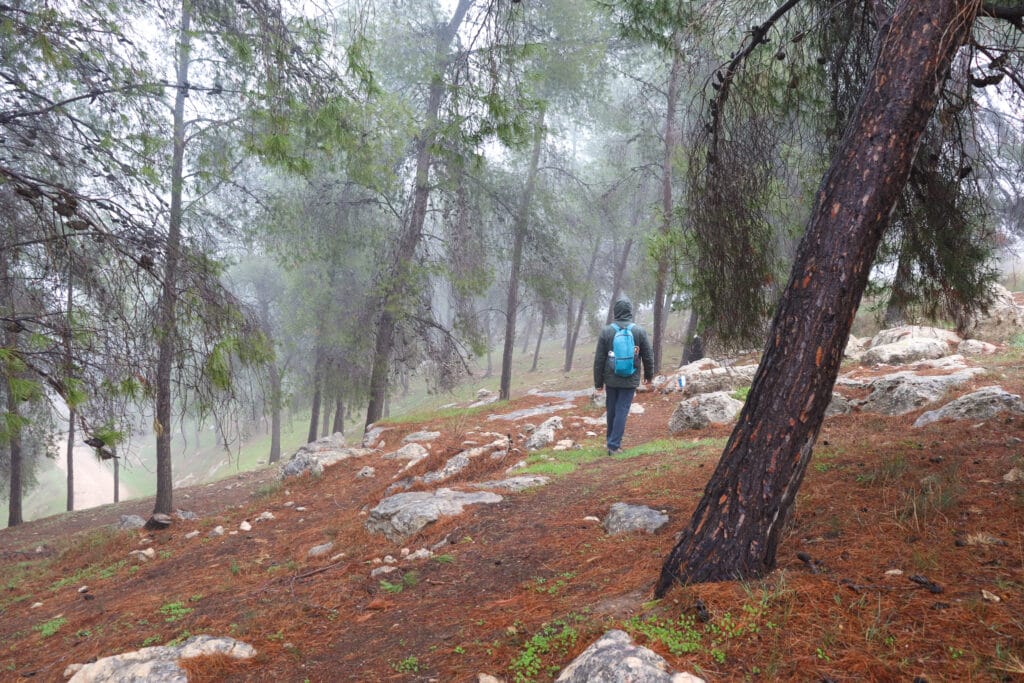
The Israel Trail wound up and down, taking on a narrow pathway through the trees. Winter had clearly made its way to Yatir: in between patches of pine needles, rich green grass had started to grow, covering the forest floor.

Slow Down and Warm Up
After walking for a while, up and down through the forest, we looked for a clearing to sit and have coffee. We knew that we’d probably be sitting on the wet ground – when it’s raining out, there’s really no other way. But we figured that we’d at least try to get a good carpet of pine needles under a canopy of trees.
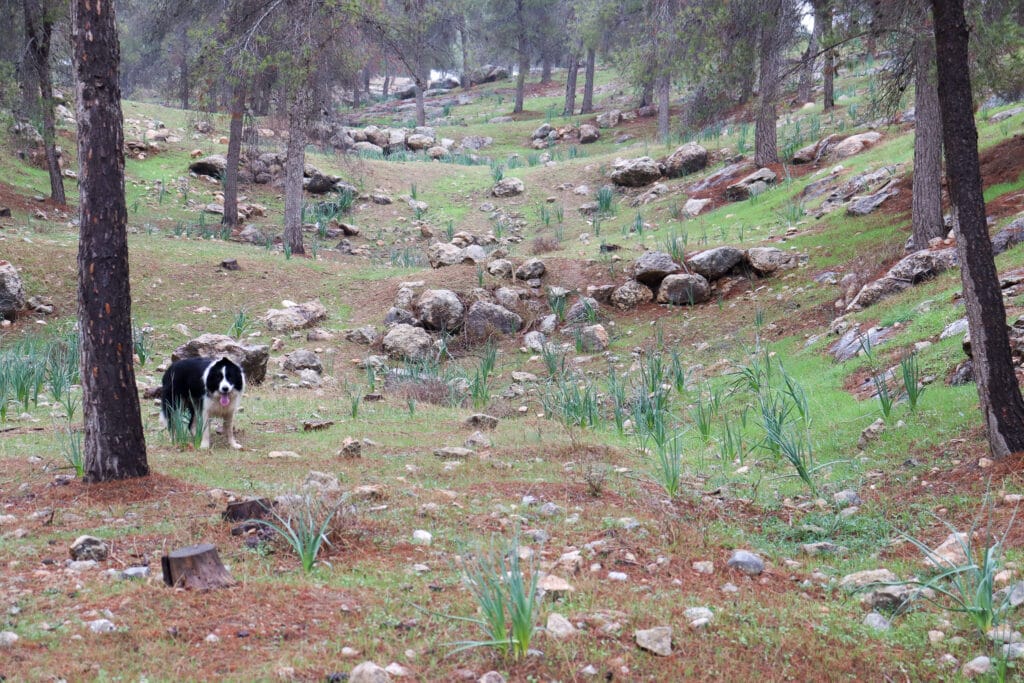
We spotted the perfect picnic spot right off of the path, where the Israel Trail and the blue trail meet. Up we traveled, back into the trees.
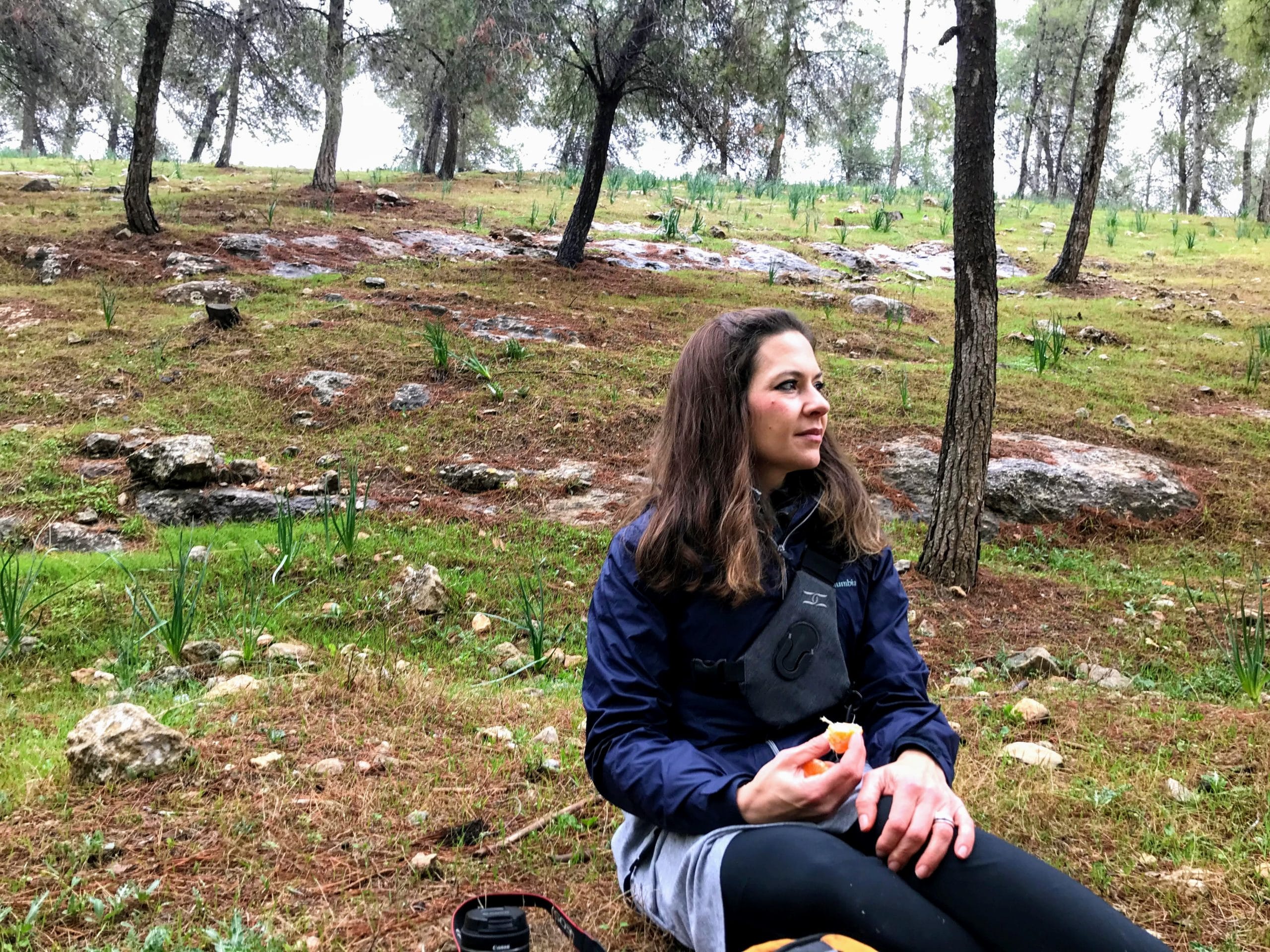
The ground actually wasn’t all that wet. And the rolling hills covered with trees all around us created a really perfect setting to stop and take it all in.
The thermos of boiling hot coffee came out. And we sat there warming up on a cool and misty winter day in the woods.

Time for Discoveries
Thoroughly warmed and rested, we were ready to get back on the trail. The blue trail led us on a wider, flatter road, next to the woods we had walked through.
Then we made a left onto the black trail.
This part of the path was more out in the open. Soon, we reached the first stopping point on the black trail – a series of caves and wells.

We climbed up of the side of the path to see what kind of caves were waiting up in the trees.
Ancient Shelter
The first thing we saw at the top of the hill was a well, or to be more accurate, a big hole in the ground. It was nerve rackingly deep and entirely open. So, we ushered our border collie away and went off to explore the caves just beyond.
There were several caves in a row – some were shallow shelters from the elements. Others had narrow openings, but huge chambers in the depths – like a little hobbit hole hidden in the side of a hill.
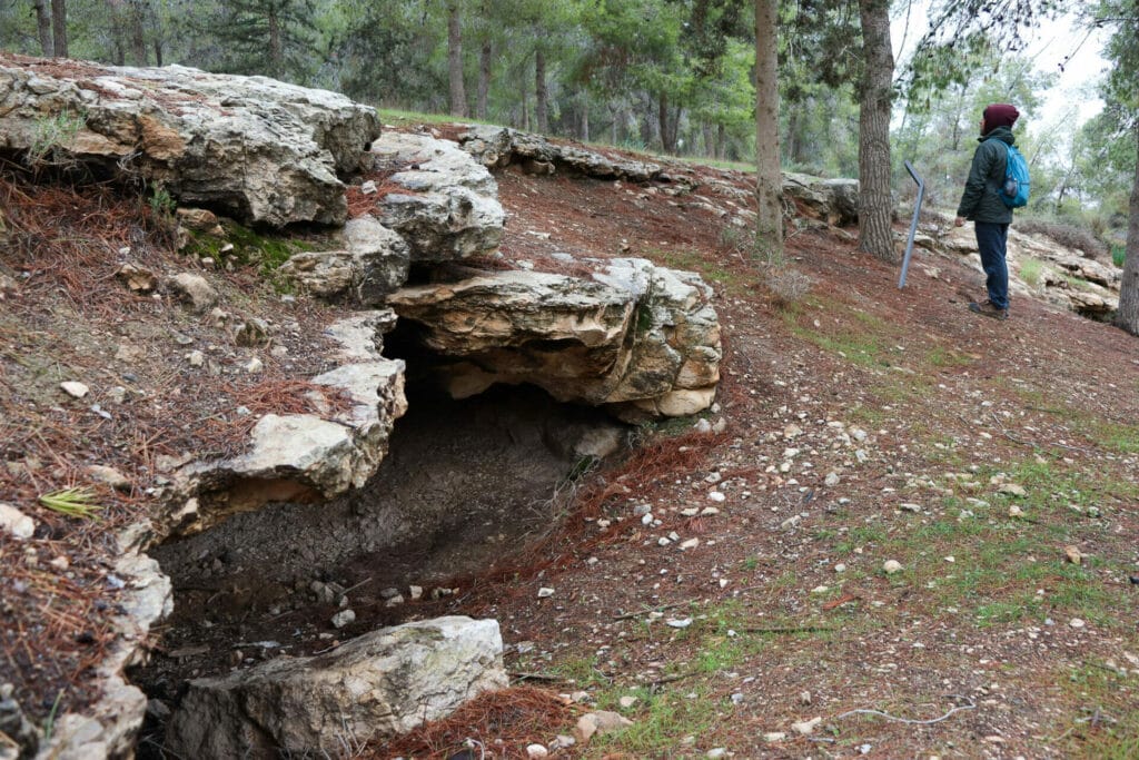
According to the sign at the site, these caves were actually used as temporary housing by agricultural workers in the area. On that cold and misty day, huddling in a cave at night didn’t seem very inviting.
But the area all around was very green and beautiful. And caves are always fun to explore.
Back on Black
We climbed back down the hill and continued along the black trail. The forest seemed to fall away as we walked. Our surroundings began to look more like the desert that the area around Yatir was supposed to be.
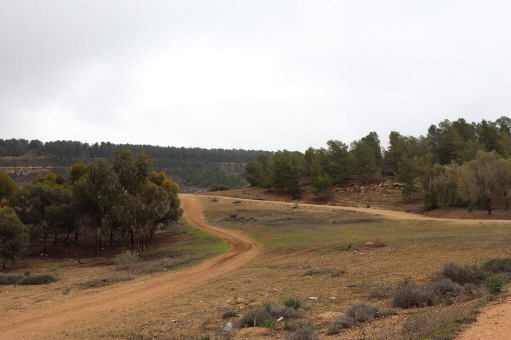
When we were researching Yatir Forest, we had read about this transition. Yatir is Israel’s only “desert forest”, so being on the outskirts of the woods meant walking along the dividing line between sand and soil.
As we reached the end of the black path, we got ready to make a left onto the green trail: Yatir Forest’s main road.
Expect the Unexpected
I guess we shouldn’t have been surprised, but we were.
This part of the path was like a small highway. And it felt more like what I had originally thought Yatir would be – a relatively open area with small trees and stark desert scenery.
For good measure, loud Arabic started booming over a distant loudspeaker. And soon we stumbled upon the source: a Bedouin settlement on the side of the road.
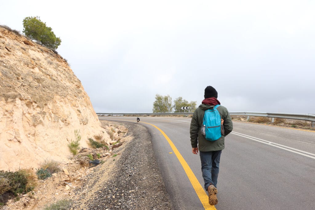
We trudged on up the highway past the village, past the cars, and back towards the beautifully forested part of Yatir.
Last Stop: Forest Magic
Soon, the woods thickened around us once again. The mist still hung in the air, creating a welcoming blanket of fog between the trees.
A few minutes more on the trail and we were back at the trailhead.
I guess our lesson of the day was to embrace the unknown. I’m happy I gave Yatir Forest a chance. This massive woodland may not be uniformly dark and deep. But it is worth exploring.
There are parts of Yatir that make a walk through this forest on a winter’s day a magical experience.

Hikers’ Notes:
Here’s what you need to know to take this hike:
- This is a circular trail.
- The trail is suitable for dogs.
- Wear good walking shoes and bring plenty of water.
- A short part of the trail is on a main road. There is a place to walk on the side of the road.
- Use the trail map and trail marker gallery in the table at the top to find your way through this hike. You can also use the Google Earth file to follow your location through the trail in Google Earth.
- Trail colors: Israel Trail, left on blue, left on black, left on green.
Don’t forget to read my guide to the navigational features in this post before you hit the trail.
Trail map from Amud Anan.
Questions? Have you been to Yatir Forest? I’d love to hear about it in the comments below!




Is this area safe, security wise?
Yes, it’s safe. It is close to Judea and Samaria, but not inside of it.