
| Trail Map | Terrain View | |
| Distance: 13.8 Kkm | Time: 5-6 hours | Difficulty: Strenuous |
| Ascent: 573m |
Nahal Yitla – it just keeps calling us back for more.
We’ve hiked it in the winter time, on a long walk past a rain river and a pack of wild boar. We’ve hiked up above Yitla in the summertime with our kids, on the Nahal Yitla Scenic Trail.
But in all of that hiking, we still hadn’t made it all the way to the end of Nahal Yitla. And we really wanted to see what was back there.
So, for this week’s hike, we combined the short Nahal Yitla Scenic Trail with a long, long walk out on untraversed terrain. When we finally reached the end of the line at a train track bridge, we looped back to see the whole of Nahal Yitla, including the part of it that we had hiked before.

While this trail wasn’t particularly unique, it was quiet and rambling. Walking Yitla this way is great for people who really want to spend an entire day in the mountains and valleys around Jerusalem – and for those who don’t mind quite a bit of physical exertion while doing it.
Here’s what this long walk through Nahal Yitla looked like:
Mountain Bike Territory
We began our fourteen kilometer trek on the blue trail. The first part of the path took us down a wide and flat road suitable for bikes. We started off on asphalt, then continued onto a flat dirt road, along an unmarked trail.

Soon enough, a pack of mountain bikers whizzed by, past glorious mountain views, zig-zagging down through the forested path below. We followed close behind, enjoying the pine tree scent that filled the air.
The trees were tall and thick all around. We hopped back onto the blue trail again in the midst of the forest. A minute or so later, we reached the beginning of Nahal Yitla Scenic Trail.
Here, we decided to leave the blue trail again and get onto the green, where we could enjoy views down into the valley. We passed through a play area, then walked by the rock where we had once stopped for a picnic with the kids.

What had taken hours with our children went by in ten minutes. Soon, we were off the green trail and back on the blue trail that would take us all the way to the train track bridge.
Forest Fire
After continuing our woodland walk with views down into the valley, we encountered something unexpected: a sectioned off area of the trail that had been burnt down in a forest fire.
My first feeling was disappointment – it’s always sad to learn that any part of our little country has been destroyed. But then I was happy that we’d get a chance to see what land looks like in the years after fire.

As I expected, the length of the trail affected by fire was barren and lifeless. But not without its own desolate beauty. Sand colored hills rolled up ahead. Dry grasses glistened in the soft sunlight. And new growth popped up from the dirt, a little green stubble reemerging from the lifeless landscape.
The trail continued this way for a longer than I would have liked. We passed by a hidden cave in the mountain (with plenty of warning signs posted all around). The blue trail markers along the way were well painted, but not always easy to follow.
Then, after a long time, we began to descend down into the valley below.
Not What I Expected
One of the reasons I wanted to see Yitla all the way to the end is because what we had already hiked there was so green and beautiful. But because of the fire, the tail end of the valley was just as dry and desolate as the higher land up above.
We got onto the black trail heading back in the direction we came. We still had another seven kilometers to go. I held out hope that the scenery would change sooner rather than later.

And luckily for us, after a short walk yellow fall flowers appeared, pouring out from both sides of the road. The hills beyond were still dry in the distance, but the mountain on the our side of the valley seemed to be unaffected by the fire. Trees towered over on one side of the trail.
Deja Vu
We were tired and ready for a break at this point. So, we climbed up into the trees towards a spot with a great view of the fall wildflowers. Iced coffee was in order. And we were finally in the perfect place to enjoy it.

After a nice long break, we spent some time taking some drone shots. It was cool to see what the pine forest really looked like from up above.
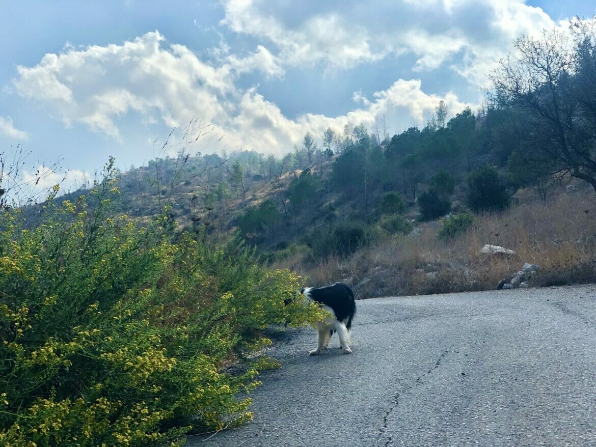
And our border collie was happy to have something to chase.

Soon, we started up our walk again. We were approaching the best part of Nahal Yitla. The area around became green and beautiful. And after a little while longer, even the dusty hills in the distance turned into rolling green mountains.
No Wild Boar or Roaming Rivers, Still So Beautiful
Finally, we walked back through the part of Nahal Yitla we had hiked before. We found ourselves comparing the scenery to the way it was last time we were there.

We saw the spot where a renegade river had formed a waterfall on rocks in wintertime – now dry and slippery smooth. As we walked, we passed familiar trees and bushes hanging over all the path. And the whole time, we had our ears pricked for sounds of wild boar.
We saw some tracks. But no animals this time around.
Lucky Break
Around thirteen kilometers later, we were tired and happy, having had our fill of time in the outdoors. This last part of the black trail headed upwards at a steady ascent as we climbed out of the valley.

At kilometer 13.5, we could see the area where we had parked the car up above. We thought we would have to continue to the highway up ahead to loop our way back to the car.
But, lucky for us, there was a barely marked breakaway path that lead right back to our parking spot, a wooden arrow pointing up the hill in the direction of the parking lot.
We came, we saw, we conquered. This time, we can honestly say that we’ve seen all of Nahal Yitla: from playful pathways, to barren hills, to the mysterious valley. Time for a long walk through this untraveled part of the Jerusalem Mountains was what we had been waiting for.


Hikers’ Notes:
There are several things to keep in mind if you want to hike this trail. First of all, it’s not recommended for a hot and sunny day. Best to do this trail on an overcast day in spring or fall, or any day in the wintertime.
We didn’t know this, but no dogs are allowed on the damaged part of the trail. So don’t bring your dog on this hike.
The hike is long with a significant ascent. It’s best for avid hikers who really want to take a day to explore a quiet area near Jerusalem. Make sure to bring plenty of water.
The trail is rocky and slippery in some places, so wear good hiking shoes.
Trail map from Amud Anan.
Don’t forget to read my guide to the navigational features in this post before you hit the trail.
Questions? Have you hiked Nahal Yitla the long way? Let’s hear about it in the comments below!


Did this yesterday. The trail has more or less recovered – just some fallen stumps show any record of the 2019 fire. After the rains of last week there was so much regrowth and lush vegetation, it was stunning. The walk up out of the valley is a long and not very exciting 5km constant uphill but the first half of the walk is lovely. The little wooden arrow pointing to the car park isn’t there any more, so use the Google Earth location so find the unmarked path (which is still there). The view of the new train tracks and tunnels at the halfway point was fun too.
Thanks for the feedback!