| Trail Map | Terrain View | |
| Distance: 5km | Time: 2.5 hours | Difficulty: Easy |
| Ascent: 115m |
To each their own. Every language has its own words to express this sentiment. The idea that different things appeal to different people applies to almost everything in life. Including hikes.
Some people love dark forests. Some love desert landscape. (I love them both.) And some people really love antiquities.
On last Friday’s hike, as we walked over pretty hills and up to an ancient structure, I was reminded of that old saying. While the scenery of Nahal Hameara may not have called to me like a twisted river through a green valley, the landscape still had its own brand of beauty that anyone can appreciate.
This five kilometer trail is located in the Nes Harim area – the path weaves its way past a forest and open fields towards antiquities, wells, and caves. My six-year old son came along for the day, and it was a perfect mix of sights to keep him busy.
Here’s what we saw along the way:
Vineyard Valleys
The hike starts right across the street from Bar Bahar, in a little lot with picnic benches to the side. We started out on the blue trail, heading up a 4×4 road past rows and rows of grape vines.
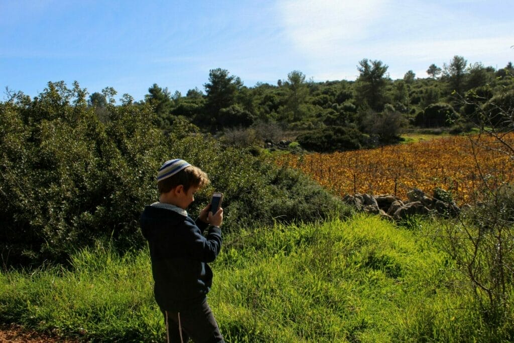
The fields were all bare since it was the winter time. Except for one. The golden glow of the one vineyard made me think of how beautiful the area must look in autumn.
This seemed like a good a place as any to stop for breakfast (it was almost noon!). The sun was shining warm on the fields, and there were convenient piles of rocks to use as a makeshift table and chairs. So we unpacked our bags and took an early break.

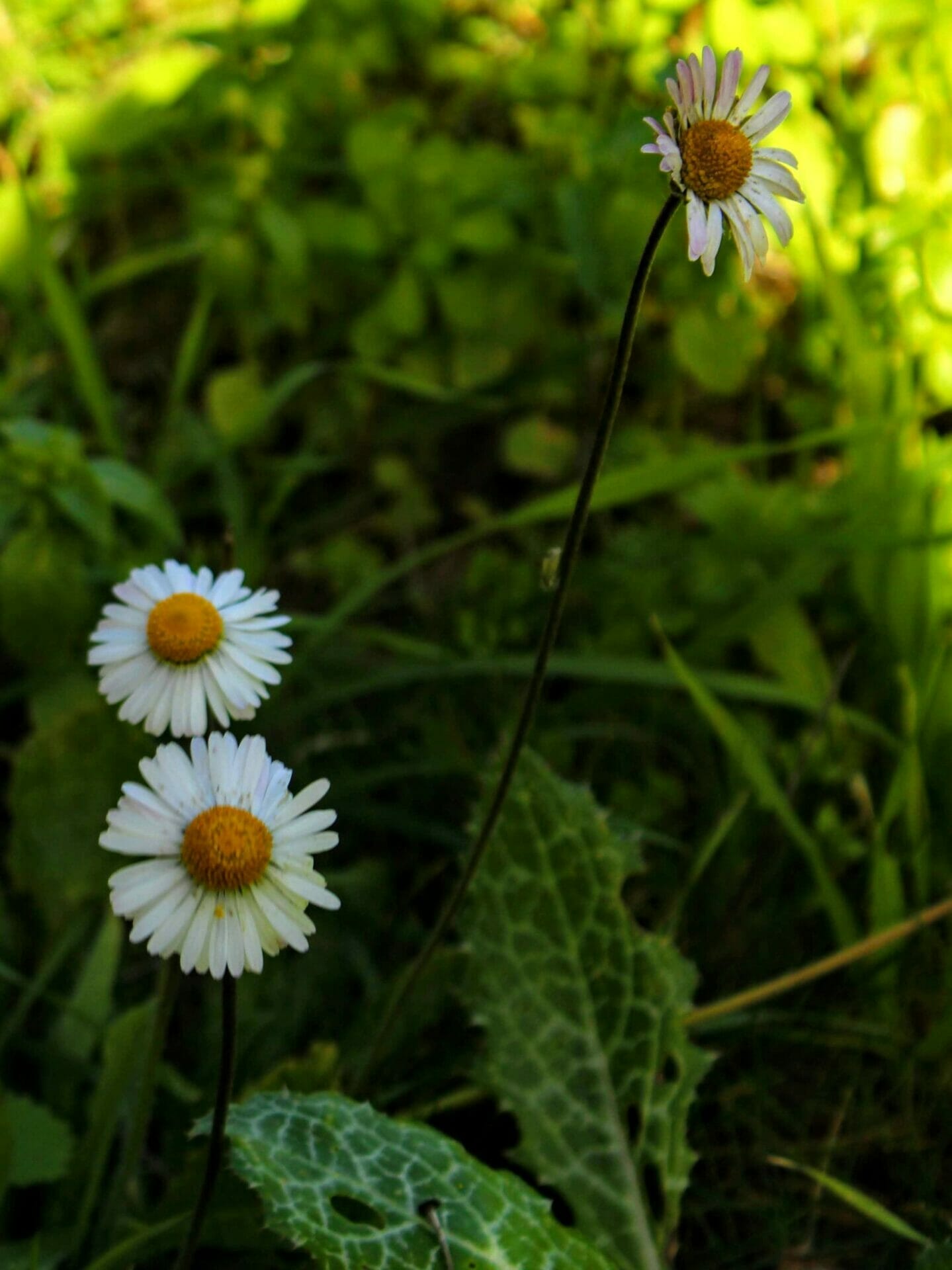
After warming up with a good cup of coffee, we picked up and continued wandering along this road. Flowers peeked up at us from the sides of the path and from the fields down below. My son really wanted to pick them. But we told him all about how it’s a hiker’s job to leave no trace. Especially in Israel.

Snakes, Snails, and Porcupine Quills- What Little Boys are Made of
After walking for a while, we came to the first crossroads – green trail one way and blue the other. We continued on the blue trail towards the Beit Itab ruins and into the Nahal Dolev Nature Reserve.
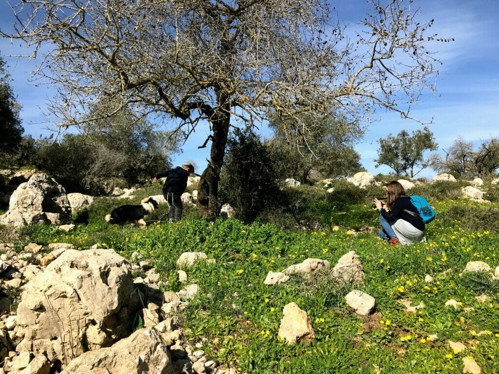
First, we read the sign at the entrance to this part of the park. My son was thrilled to learn that there were porcupines on the reserve. And looking for quills under trees became his activity for the rest of the hike.
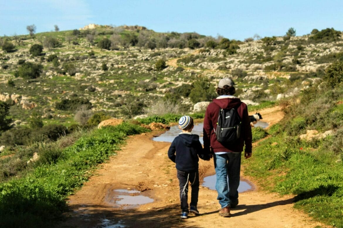
We walked through mud puddles, past rolling hills, and slightly uphill towards the area of the Beit Itab ruins. It was a pretty sunny walk, but there were small clusters of trees on the side of the path (with lots of winter flowers underneath). We stopped to search for quills and interesting flowers at every chance we got.
Towards a Crusader Castle
Before long, we reached the end of this path – it turned up sharply to the right. Ahead of us in the distance, we could see a beautiful thicket of tall trees. It seemed like the perfect place for a picnic after a hot and sunny walk.
Since we had already stopped for breakfast, we followed the path up to the right. Here, my son began a search for the next trail marker. That kept him distracted from the fact that we were going uphill. We climbed and climbed for a minute or so, then turned to the right onto the red path.

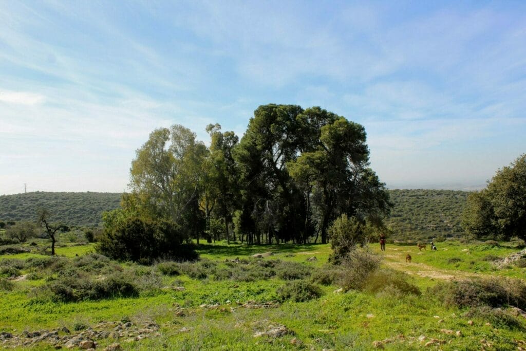
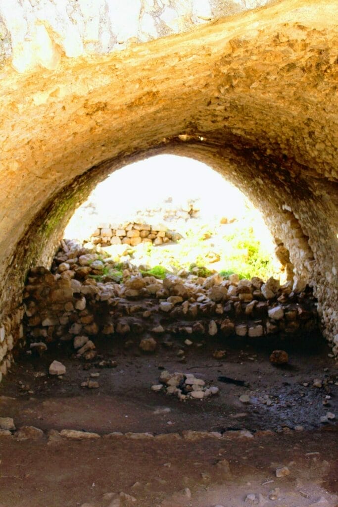
The red path took us straight up to the remains of an old and crumbling Crusader castle, complete with a lookout up top (from a later time period) and a fun, arched cavernous space underneath. We explored the ruins for a little while, then continued on our way.
On to Springs, Flowers, and Wells
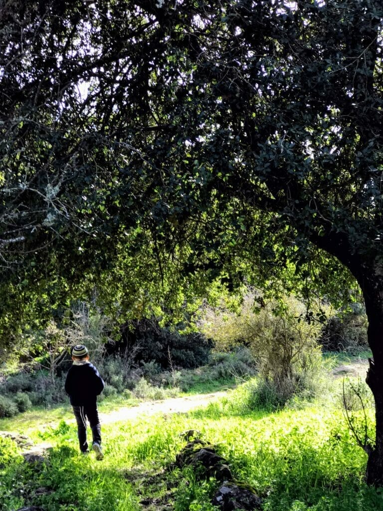
For me, this is where the path got really pretty. As we descended back down the mountain, we passed several wells overgrown with ivy and moss. Of course, we had to stop to drop a rock into the bottom of each one and hear the splash down below.

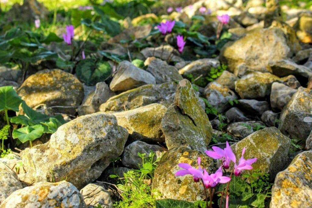
All around us, everything was green and lush. We reached a small spring full of water. There were little clusters of trees dispersed throughout the area. Where it was sunny, daisies grew in patches. In the shade, cyclamen and ivy popped up from the shadows.
We were still searching for those porcupine quills, which was a full time job for my litte guy. And since it was downhill and shady at this point, there was nothing at all to complain about.
Good Things Come to Those Who Wait
At the next crossroads, we followed the red trail past another flat space full of vineyards, with tall trees providing shade on the side. We said hello to a few other hikers and tread carefully around large puddles that had built up in low parts of the path. The Nahal Hameara trail continued all the way to the very end of the vineyards.
And why was it called Nahal Hameara? Before long we had our answer.
Up on the side of the cliff we saw a series of super cool caves in a row. We all badly wanted to go explore the caves, but it was late – we had walked much further than we intended. The caves had to wait for another day.
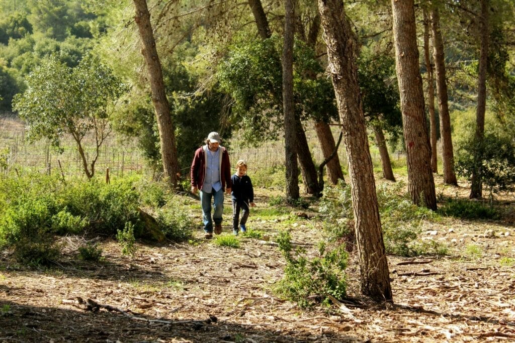
From here, we followed the red trail to the right. It was a good kilometer back along a forest lined path, past several picnic areas, to where our car was parked.
We didn’t find any porcupine quills that day, but we did discover wells, antiquities, and lots of flowers on Nahal Hameara. My six- year old made it through the five kilometers with no complaints and learned a lesson or two along the way.
From Crusader castles to picturesque scenery, we love being able to easily access places like this so close to home. This little trail was a great way to explore another beautiful side of nature in Israel.

Hikers’ Notes
If you live anywhere near the Gush Etzion or Beit Shemesh area, this is a great place to spend a morning with kids (or have a quiet and easy walk without them!). There are lots of different ways to walk in this area. The way we walked is a circular, five kilometer trail with lots of attractions towards the end.
Make sure to plan in extra time to go up and explore the caves. We are going to have to come back here another time to see what it’s like up there.
If you look at the trail map in the table above, you’ll also see a circular loop going from the black trail (past the caves) to the red trail. I haven’t been on the black trail, so I can’t recommend it from firsthand experience, but it looks like it could be a shorter version of this hike which includes the caves. You would have to park in a different spot though.
Re: finding your way on the trail we hiked. It is pretty easy to follow the trail markers the whole way through. Start by following the blue path from the parking lot, then get onto the red trail at the ruins. The red trail brings you all the way back to your car.
Once you get back to the highway, you’ll still have to walk quite a bit through the forest path before you reach the lot where you parked. You’ll pass a picnic area and a cemetary along the way.
This is a great hike for a cool day. Probably a little too hot in summertime (since there’s not a ton of shade).
Don’t forget to read my guide on using the navigational features in this post (like Google Earth and the trailmarker gallery down below).
Questions? Have you hiked this path before, or do you have any useful information to share? Leave a comment below!
Marked up trailmap is originally from Amud Anan.





2 thoughts on “Nahal Hameara”