| Trail Map | Terrain View | |
| Distance: 8.5km | Time: 4 hours | Difficulty: Moderate |
| Ascent: 319m |
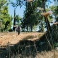
Any time we find a beautiful forested hike on the outskirts of Jerusalem, it’s worth telling people about. Last week’s 8 kilometer hike along the Hadassah Trail, a forested path that encircles Hadassah Ein Karem, was no exception.
The truth is, we’ve known about the Hadassah Trail for a while, but we weren’t sure what it would be like. Would it really be an escape into nature? Would it be forested and green or feel a little too close to the hustle and bustle of the city?
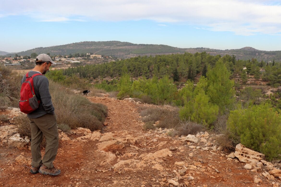
In the end, we were surprised by just how beautiful and quiet the Hadassah Trail really was. Most of the 8 kilometer trek runs along quiet mountainsides in the middle of nature. And we discovered two different springs on the trail, both full of fresh water.

It’s true that part of the hike (perhaps less than a kilometer) leads through the hospital parking lot and up a busy road. But for the most part, the Hadassah Trail is an excellent way to escape towards forested mountains and spectacular views, right on the edge of Jerusalem.
Here’s what we saw while hiking the Hadassah Trail:
Surprise, It’s a Spring
We began the trail somewhere familiar – at the tail end (or start point) of Shvil Hama’ayanot, right across the road from the descent to Hendek Spring.
We had hiked this trail before, but the last time had been very rush-y. So we were happy to take the descent into the valley at a slow pace, feeling really at peace with the nature all around and enjoying our conversation.

The trail wound its way down into the valley, past some old ruins and through pine trees. The sky was particularly beautiful that fall day. And the views out to the surrounding area seemed especially lush and green.
At the bottom of the valley was Ein Hendek spring. We went over to check it out, even though we were pretty sure it would be dry (pre winter rains). And sure enough, as we peered down into the cave below, we saw no water whatsoever.
But as we sat there, our playful border collie ran off to explore.
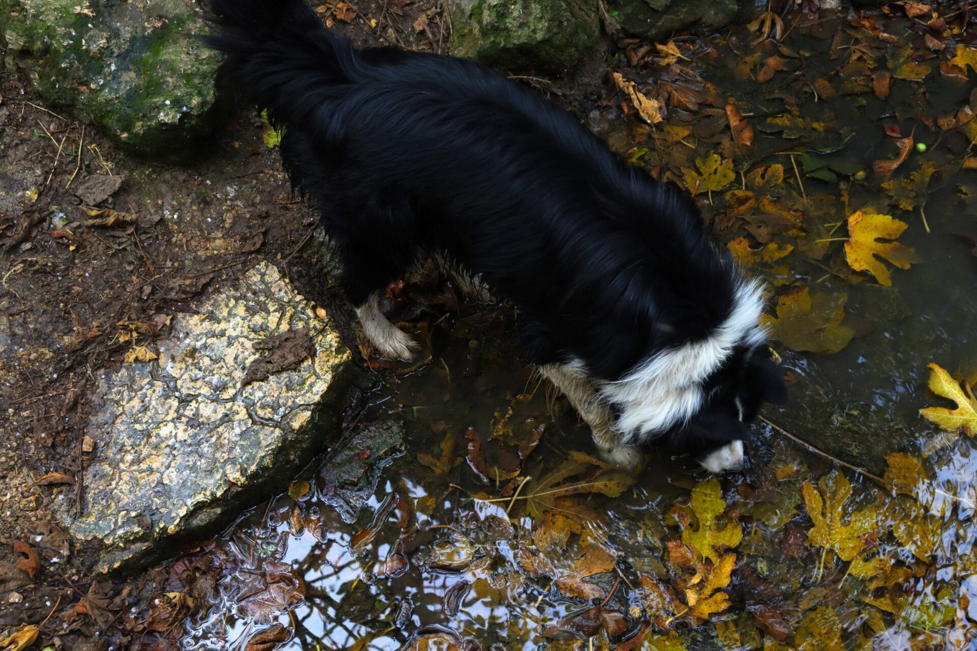
And then we heard splashing.
Cool, Dark, and Lovely
Yes, our trusty pup had found water – a beautiful spring with two water caves situated at the bottom of a set of steps. The area above the spring was dark and shady. And there was a flat stone slab which seemed like a really perfect place to have a picnic.

We weren’t ready to stop for breakfast yet. But we did have fun exploring the underground water source. It was quiet, full of trailing ivy, and almost magical.
After climbing the steps back into the sunshine, we were ready to set out on the trail again – this time at a gentle incline around the side of a mountain.

Archeological Discovery
A bit further down the trail and we found another great stopping point: an old structure of sorts with a low, flat roof.
It was an easy climb to get to the top of the ruins. And sitting up there, we knew we had chosen the perfect place for our morning coffee.

From the top, we could see forests stretch for miles around. There was no traffic noise and no one else nearby. And in the distance, sat Ein Karem, Har Nof, and other neighborhoods of Jerusalem gleaming in the sea of trees.
It made us feel kind of blessed to sit there with that awesome perspective on the Holy City, knowing that throughout most of history, Jews could have only imagined a Friday morning excursion such as this one.

On the Road Again
After breakfast, we continued to follow the Hadassah Trail, first along the forested mountainside, then up through the trees.

We walked and talked for several kilometers, and then we approached signs of civilization. First, we saw some construction refuse, then the beginnings of a neighborhood. And soon, we found ourselves in a quaint part of Ein Karem-, where we saw Arab and Jewish children playing together in the streets alongside tourists and locals.
At this point, we couldn’t figure out which way to take the trail. And after much consultation with the map, we doubled back (which is actually what the creators of the Hadassah Trail intended) and followed an unmarked ramp up, up, up towards the student dormitories at Hadassah.
The Urban Part
Unfortunately for hikers of the Hadassa Trail, this portion of the hike is impossible to follow without a map. There were no trail markings. So, we used all of our navigational skills to traverse the student dormitories and reach Hadassah Hospital.

Anyone who’s been to Hadassah knows that it takes a map just to find your way around the hospital. Luckily, we had a map! So, we found our way through the parking lot, towards the main entrance, and up the highway where the continuation of the Hadassah Trail lay hidden in the trees.
Return to Peace
Up the black trail, we were treated to more beautiful views of the city. Then, the noise of Hadassah faded to a distant memory as we wandered through nature and back towards our car.
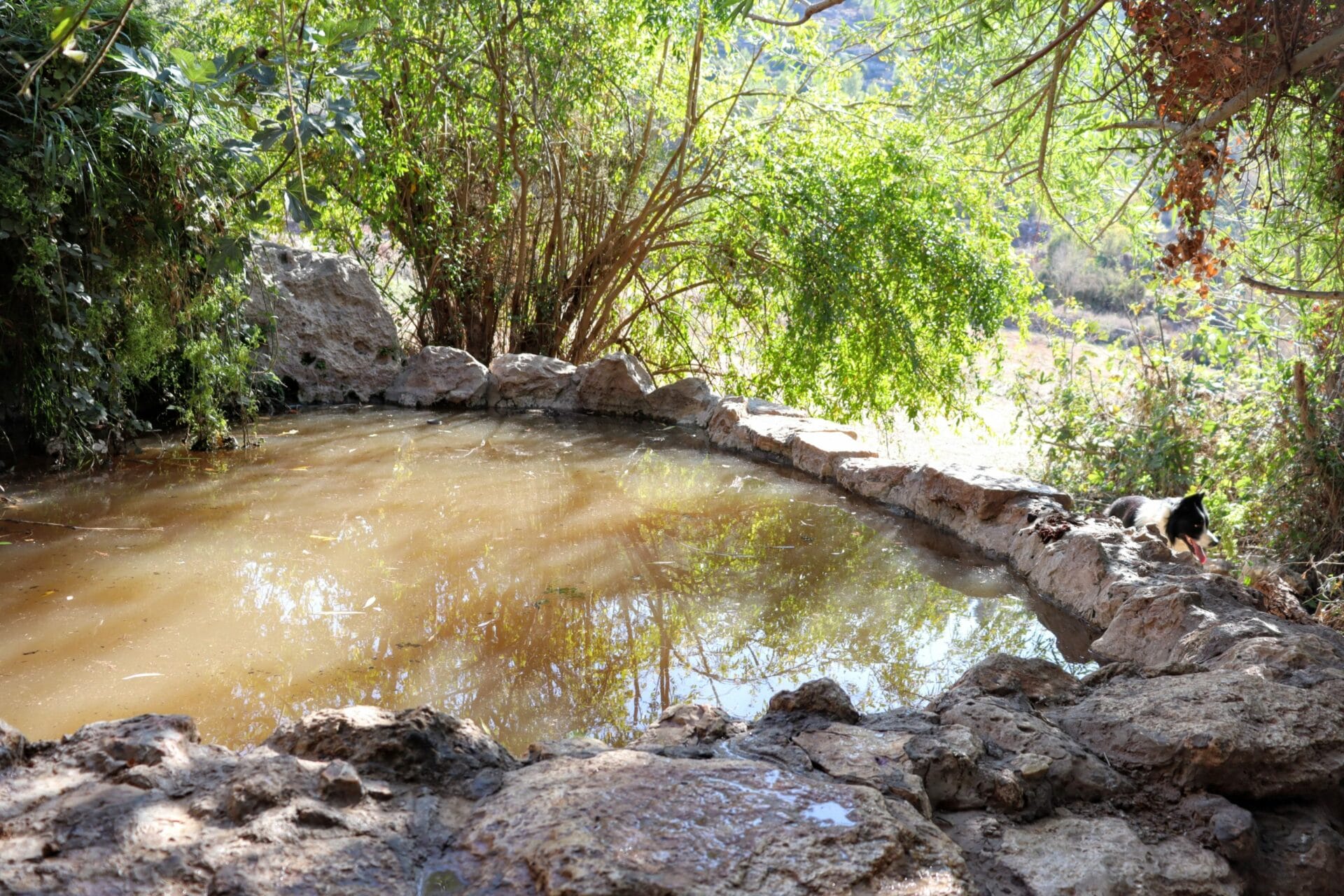
One last spring stop before the end of the trail – this spring was an overflowing pool with fresh water running in from up above. Just like Ein Hendek, it was totally quiet, like a forgotten natural attraction in the middle of nowhere.
We said goodbye to the spring and followed the green trail back through open fields to the parking lot.
Natural springs, forest solitude, and mountain views – the Hadassah Trail had been full of surprises. This long walk through the outskirts of Jerusalem is a perfect return to the peace and quiet of nature.


Hikers’ Notes:
Here’s what you need to know about this trail:
- Most important: the trail markers are non existent in some parts of the trail and not easy to follow. You must prepare with the trail map, gallery of images, Google Earth file from up top, and preferably a phone with GPS service. Strongly recommended to use Google Earth file and/or amudanan.co.il!
- Suited to all seasons
- Dog friendly.
- Moderate hike suitable for average hikers.
- This trail is circular. You can park at Hadassah Hospital if you prefer and start from there. (We didn’t because we didn’t want to look for parking.) Plan any adjustments to the trail if you choose to hike it this way.
- You will most likely lose the trail as you approach the hospital. Use Google Maps, a map, or a great sense of direction to find your way up through the student dormitories, through the hospital, and back to the highway. Here, you’ll make a left then follow the black trail on your right.
Trail map from Amud Anan.
Don’t forget to read my guide to the navigational features in this post before you hit the trail!
Questions about this trail? Tips for fellow hikers? Let’s hear it in the comments below!
Hiking can be dangerous and is done entirely at your own risk. Information is provided free of charge; it is each hiker’s responsibility to check it and navigate using a map and compass.