| Trail Map | ||
| Distance: Each way: 3.5km | Time: 2-4 hours | Difficulty: Strenuous |
| Ascent: 150-300m |
Click here to go straight to hike notes.
What does a Gush Etzion local do when they’re looking for a jaw dropping-ly beautiful hike they can get to without much hassle? They head to Nahal Tekoa of course!
This past week, we were still undecided on our hike plan early Friday morning. It was a cool and beautiful morning – perfect for a desert trek. On the other hand, we just didn’t have time to drive an hour and half each way that day.
As fate would have it, there was one trail at nearby Nahal Tekoa (only twenty minutes away in eastern Gush Etzion) that we still hadn’t tackled yet – a trail leading from nearby Herodion, down into the canyon, and up on the other side to Haritoun Cave. It was a mere 3.5 kilometers each way, perfect for a chilled-out Friday morning hike in a stunningly beautiful place.
What’s nice about the hike is that it combined two incredible attractions in one easy trail. Herodion, King Herod’s burial place and palace in the desert, is one of those must-see places in Israel. Within the underground palace, there are layers upon layers of history to explore.
Nahal Tekoa, aside from being incredibly beautiful, is also rich with history. The monk Haritoun established a monastery in Nahal Tekoa, and many of his followers flocked to the secret crevices and caves in the canyon to join him in his solitude. Haritoun Cave, named after the monk, is one of the longest and most complete cave complexes in Israel.
Since we had already been to all of these hit list attractions, we spent more time focusing on the new trail in between. It was a perfect morning.
Here’s how we hiked this one-way trail from Herodion to Haritoun Cave:
Parking Lot at a Palace
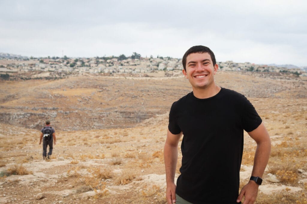
We pulled into the lower parking lot at Herodion and set off to find the trail. We had already been to Herodion itself many times. We’d seen the multilayered palace, the Bar Kochva tunnels, King Herod’s guest quarters, and the site of his ancient tomb. So we were okay with skipping the attractions at the flat topped mountain that morning.
Instead, we worked with the various maps at hand to try to find the best path from Herodion down to the start of the blue trail across the road. On our search, we passed by an army base and some olive groves.

Eventually we realized that the best way to get to the trail was to follow a dust road along the security fence surrounding Herodion and then to take a little path through golden grass and olive trees until we reached the highway.
Golden grass rustled in the early autumn wind. Dark clouds had formed in the sky, creating dramatic scenery that reminded me of some prairie tornado. In the distance, the Tekoa Canyon dropped down into dramatic ripples of rock, giving evidence that this was no prairie.

After a beautiful walk through stunning scenery, we arrived at the highway and the beginning of the blue trail.
Into Nahal Tekoa
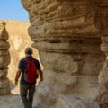
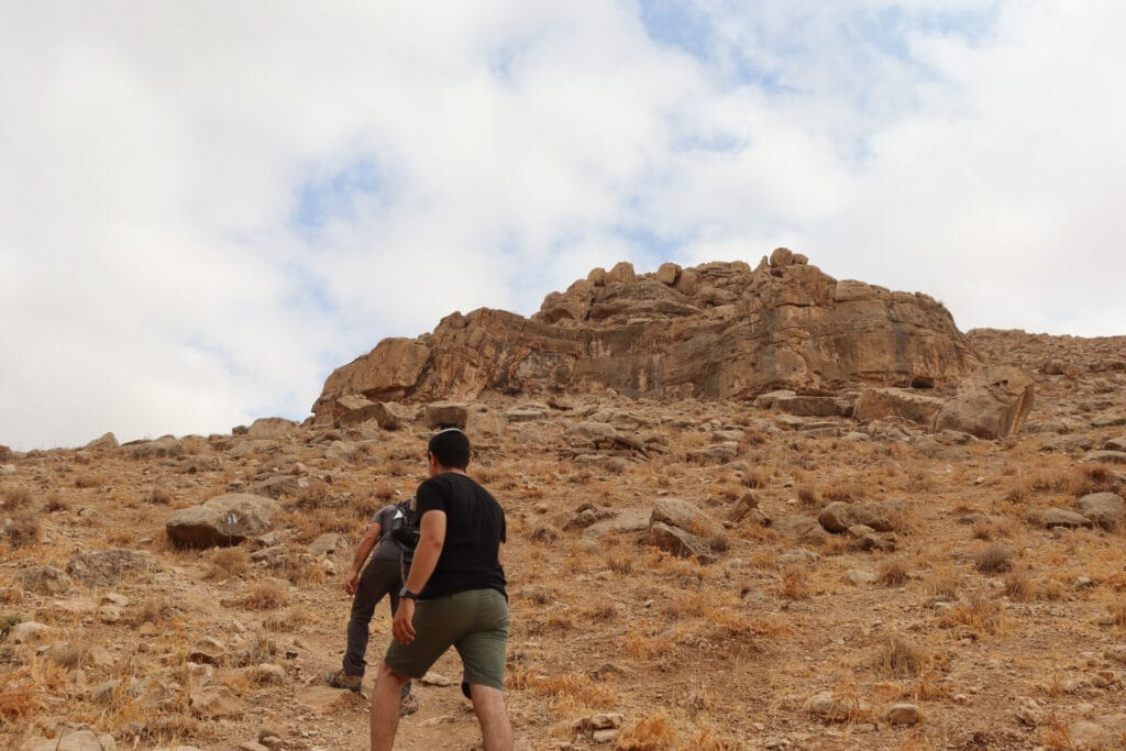
We crossed the highway and found the beginning of the blue trail. Now that we were on a well marked trail, it was a lot easier to lose ourselves in the beauty of our surroundings. We climbed up and over rock ledges, and then slowly began to travel down into the incredible valley below.
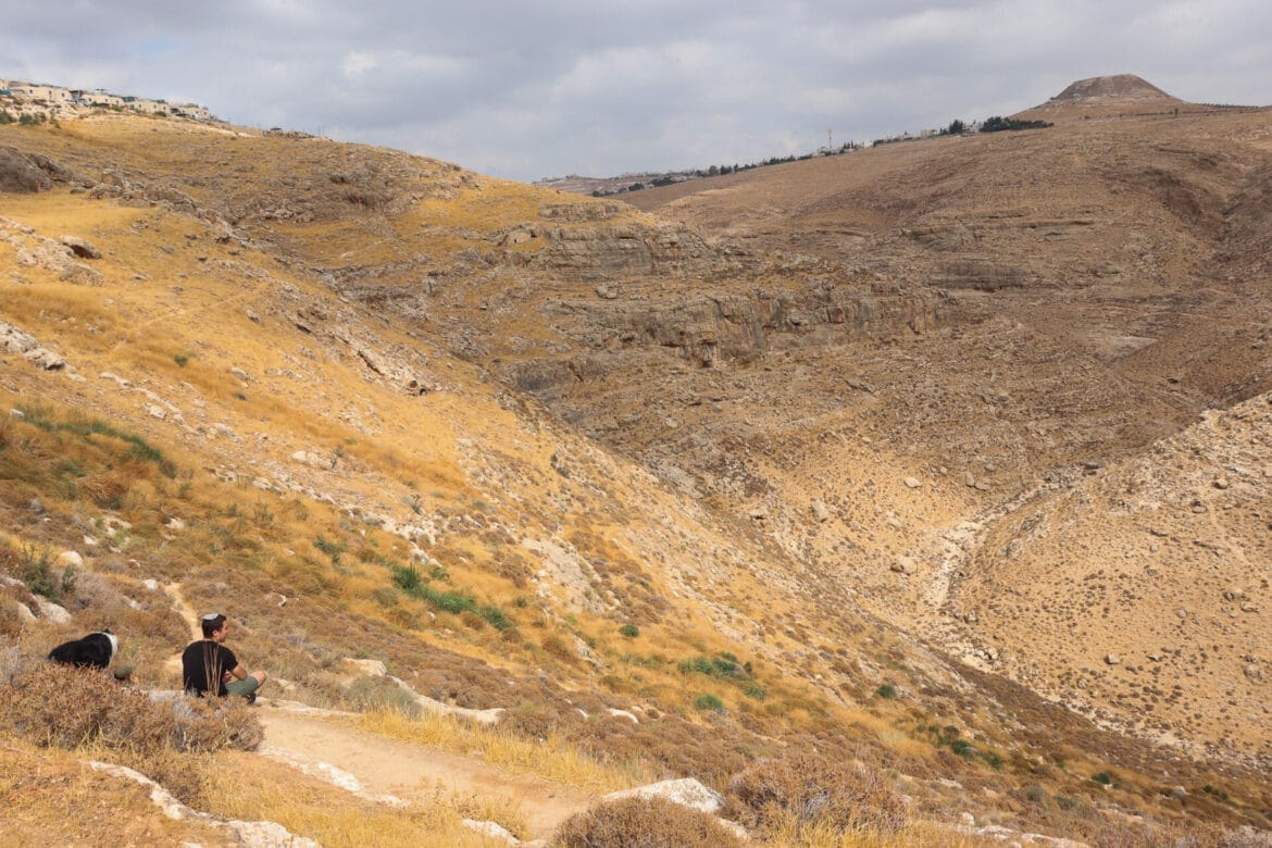
Looking back, we could see flat topped Herodion in the distance. Before us, the canyon snaked back and forth in ripples of rock, dotted with little caves and crevices. Swallows swooped between the rock ledges, catching the wind as they glided across the canyon.
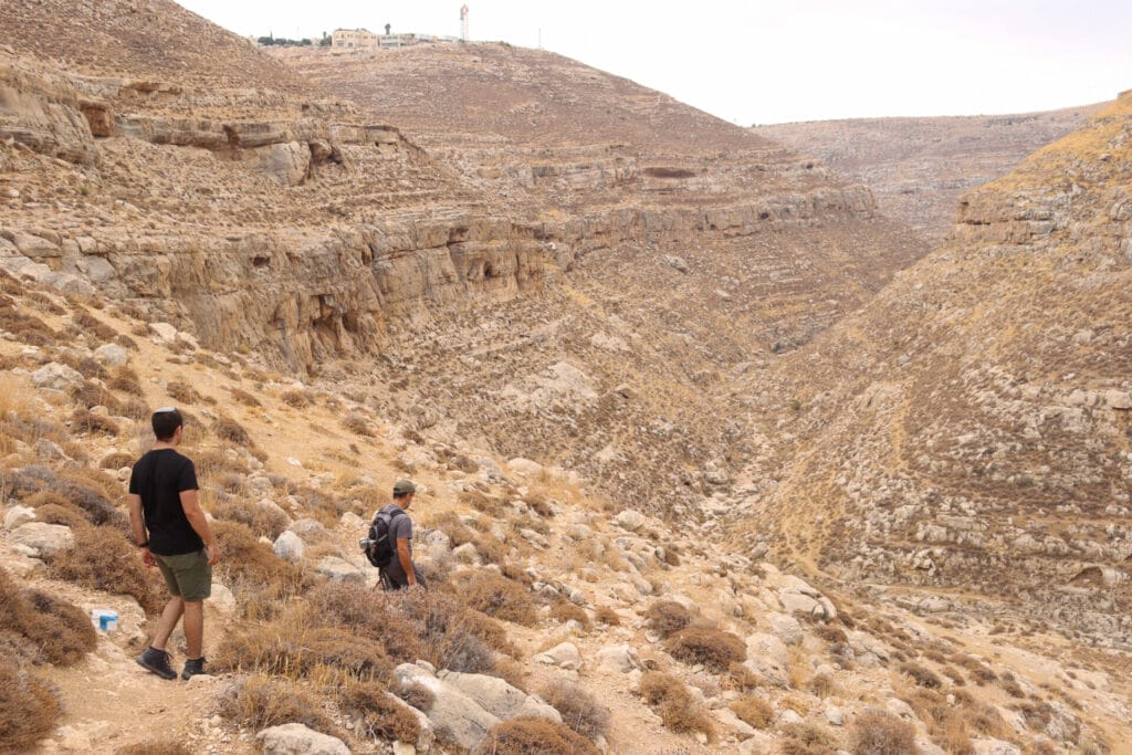
The trail was not easy walking – steep descents into a rocky canyon never are, particularly after a long dry summer, when dust and small rocks lined the pathways. But the scenery made up for it. We watched as some shepherds led their multihued flocks through the bottom of the valley, a picturesque scene.
Find a Cave, Have Some Coffee
About mid-way down, we spotted a smooth rock ledge complete with a once inhabited cave. This was deemed a great spot to stop for breakfast. We made ourselves comfortable on the large ledge of smooth rock and had breakfast.
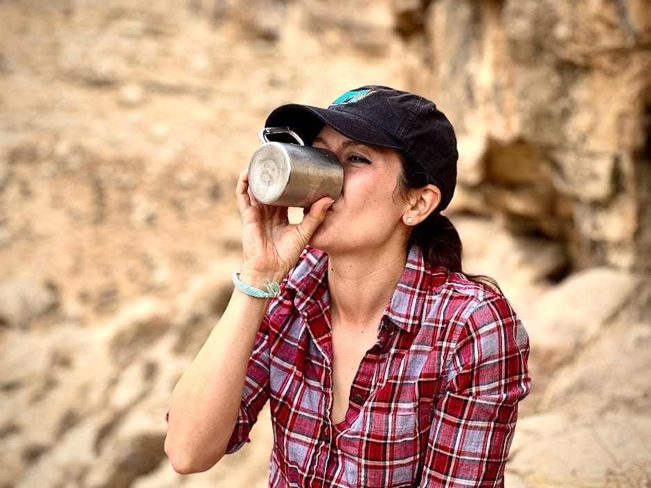
I look forward to these moments all week long, particularly in places like Nahal Tekoa. There’s something amazing about taking the time to stop in a beautiful place, relaxing with a cup of coffee, and soaking in the magnificence of the Land of Israel. In Tekoa Canyon, it’s easy to do just that. It’s one of the most beautiful places in the vicinity of Jerusalem.
Now the Hard Part
When we were finished, we packed up our bags and continued on the trail, heading deeper and deeper into the valley. We knew that once we reached the top, there would be nowhere to go but up.
There are little pathways that lead through the valley, but the blue trail does not. Rather, it meanders along for only a moment or so before heading right back up to the other side of the canyon. Soon, we were sweaty and hot as we climbed. There was no reason to take it slow – so we pushed it to the max and ascended to the flat path at the top of Nahal Tekoa.
The Path to Haritoun
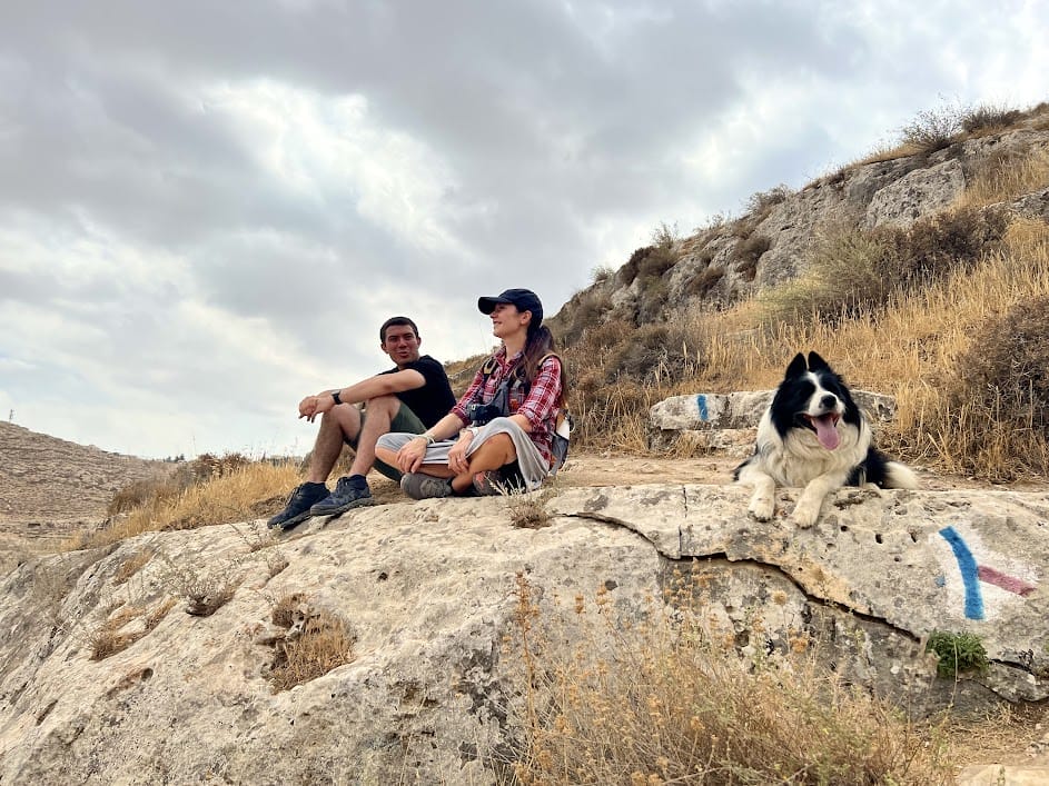
And there we were, on the path to Haritoun Cave and Spring that we had traveled so many times before. We decided to stop there for a few minutes, both to take in the view from the other side and to come up with a game plan.
Had we been hiking this trail for the first time, of course we would have continued to Haritoun Cave – a super cool cave whose seemingly endless tunnels and pathways can only be thoroughly explored with a guide. But if we hiked to the end, we would have to either find a ride back to our car (which we weren’t even sure would be possible), or hike even further back the way we came to the beginning of the trail. And after our long break, we didn’t have much time to spare.
After taking in the views, we decided to hightail it back the way we came, down into the canyon and back up the other side.
On the Way Home
The return trail went fast – with only one or two stops to take pictures, we covered the few kilometers back across the canyon in no time at all. Soon, we found ourselves back in golden fields, passing through olive groves. Some farmers were out in the fields, knocking olives off the trees. The olives these men were picking were the type used for eating. They informed us that the type used for olive oil would be ready to pick in a couple of weeks.
Happy with our morning’s adventure, we made our way back to Herodion. The trail through Nahal Tekoa had been just what we were hoping for that morning: simple, beautiful, and soul-inspiring. We’re lucky to live in a place where ancient monks and kings once made their homes, in the dramatic desert hills and canyons just outside of Jerusalem.

Hikers’ Notes:
Here’s what you need to know to hike this trail from Herodion to Nahal Tekoa:
- This is an all season trail.
- This trail is located in Judea and Samaria. Make sure to take proper safety precautions before hiking this trail.
- This is a one way hike from Herodion to Nahal Tekoa. You can park a car at each end and hike it one way. We hiked it there and back.
- If you'd like to visit Herodion first, you will need to pay an entrance fee or use your National Parks card. There are facilities at the site.
- There is an unmarked trail that leads from the Herodion parking lot to the highway where the blue trail begins, but it is difficult to locate. When facing the electric gate to Herodion, follow the path to the right (along the fence). Eventually, you will start to approach the highway. Follow the small path through the olive groves, then cross the highway towards the blue trail. Use the trail map and Google Earth file for reference.
- Bring plenty of water, sun protection, and good hiking shoes to hike this trail. The ascents and descents are steep and unsteady.
- If you decide to visit Haritoun cave, do not attempt to delve into the depths of the cave without a licensed guide. You can go into the cave and into the main chamber, but it would be easy to get lost in the long tunnels within.
- Dogs are allowed on this trail. Dogs are probably not allowed in Herodion itself.
- To follow the trail - make your way along the security fence and unmarked path towards the highway and the blue trail. Follow the blue trail down into the valley and back up the other side. Make a left to continue following the blue trail. Then, take the black trail to Haritoun Cave. Return along the black trail the way you came until you reach the Haritoun Cave Parking Lot. (Or just hike out and back like we did.)
Don’t forget to read my guide to the navigational features in this post before you hit the trail!
Trail map from Amud Anan.
Questions? Have you hiked this trail from Herodion through Nahal Tekoa? Let’s hear about it in the comments.