
| Trail Map | Terrain View | |
| Distance: 6.4km | Time: 2 hours | Difficulty: Easy - Moderate |
| Ascent: 230m |
Click here to go straight to hike notes.
We’ve been on a lot of really awesome, really intense hikes lately. Which is why this Friday, I was okay with something low-key. So, I turned to the map to scout out a nearby hike that would be easygoing.
I did find something new: a 6 kilometer trail through Tzora Forest, not far from Beit Shemesh. Information about the trail was hard to come by. But what was the worst that could happen? If we went out on a 6K walk which wasn’t that beautiful, at least we would get outdoors and absorb some sunshine (important in the middle of the winter!)
But Tzora Forest was a hidden gem, a truly incredible discovery.
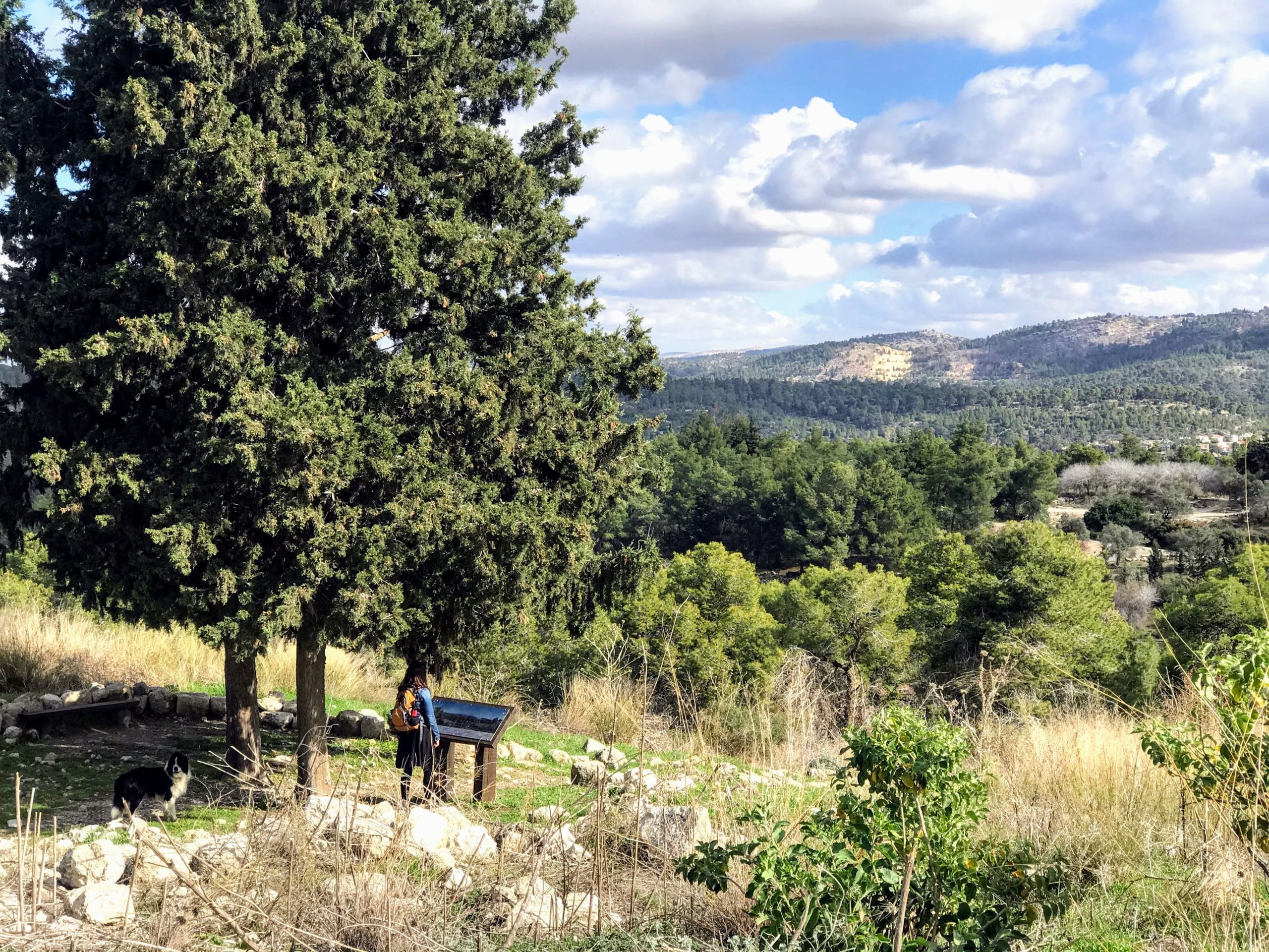
The path we traveled at Tzora Forest took us through a dark and lovely woodland. Beyond the trees, the view out to the plains surrounding the area was jaw-dropping.
Most of the trails we took were flat and stroller friendly, perfect for walking or jogging. But Tzora must be a really well kept secret. In contrast to similar forests (Ben Shemen, for example), Tzora was quiet – there were very few people on the trails.
Here’s the lowdown on this lovely nature walk right near Beit Shemesh:
Zero Expectations
We were pleasantly surprised as we drove up the steep hill to Tzora Forest. Right from the start, the quiet serenity and simple beauty of the KKL park was obvious.
Our plan for the day was to follow two different trails to make a loop walk through the woods. After we parked our car, we followed the black trail markers to the first path: Shimshon’s Ridge.

This trail twisted and turned through the woods. We were treated to glimpses of green fields down below, peeking through the trees. This path wasn’t flat, but after a few minutes of walking, the path led us back to where we started, on the other side of the parking lot.
From here, we hopped onto the black trail, leading down towards the orchards.

Could This Be Real?
This part of the path led downhill. It wasn’t completely even, but it still seemed suited to a jogging stroller. Soon enough, we reached the bottom of the downhill, and turned onto the red trail.

From here on in, the forest got even more beautiful. First, we walked past rows and rows of carob trees. A gentle mist gathered in the air all around the trees. And the backdrop was the same stunning view that we had glimpsed moments earlier.
As we continued on our walk, a giant pine tree forest spread out all around us. It was clean, beautiful, quiet: pretty much everything you could ask for. Underneath the canopy of trees, a layer of thick green grass grew, calling us to come sit in the shadows.

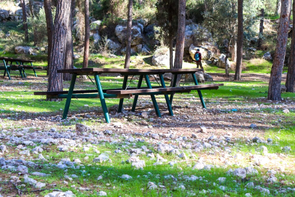
We passed by one picnic area, then another, each one more inviting than the next. Soon, we were really ready to stop and eat breakfast. We found a patch of stone in the forest and settled in to take in our surroundings.
When the Cows Come Home
And there we sat, in silent shock that we had stumbled upon this place. At best, we had expected a poorly marked walkway and a bit of nature. But what we got was a large and beautiful woodland, totally unspoiled by the usual foot traffic.

As we were pondering this, a different sort of foot traffic arrived.
Cows marched in a line through the trees, crossing onto the main pathway and walking down the road, in single file. Our border collie went a little wacky, not sure whether to chase them or run for his life.
I was sure we had missed a photo-op as we lazed away in the shadows, but the cows just kept on coming. One after another, they made their way through the trees.
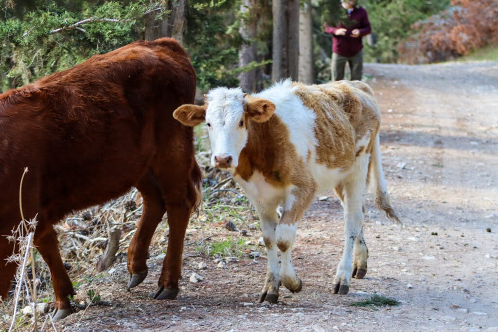
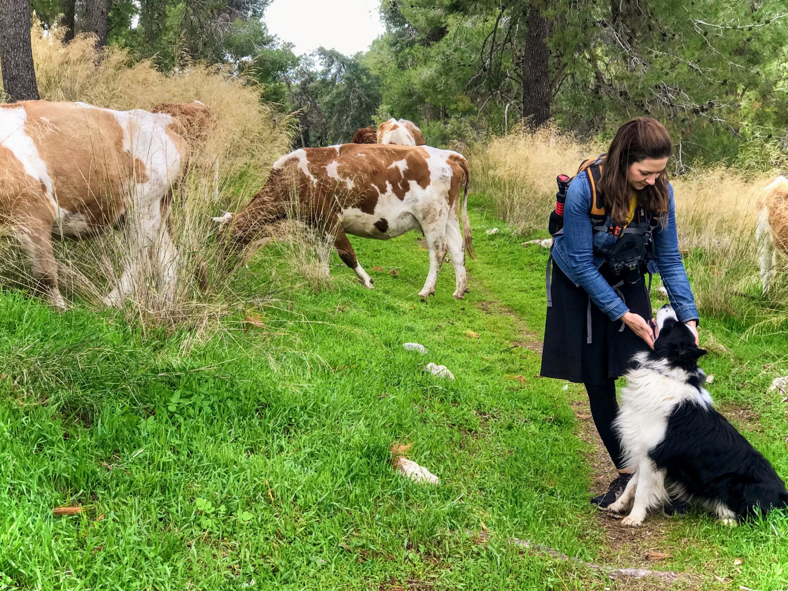
We hustled over there with our dog and made friends with the herd.
And of Course, a Holy Site
After breakfast, we followed the cattle down the rest of the path, all the way to Tzora Forest’s top holy site – the grave of Shimshon the warrior.
I’m not sure whether there is real archeological evidence that Shimshon was buried here, but this part of the forest was the only part which attracted a crowd.

All of the cows had decided that the area around the gravesite was the place to graze. A few visitors mulled about, some praying, some taking in the gorgeous views. We snapped a few pictures, then followed the trail out to a lookout.
From the lookout, we could see the rest of the park along with several communities in the distance. The view was really picturesque.
Next, we followed the little trail (and the cows) back to the main parking lot, where we picked up the next part of hike: The Statues Trail (Derech HaPsalim).
It’s Really Not About the Name
The Statues Trail: well, that sounds boring. What we expected from the descriptions we had read was a sunny trail between various outdoor artworks, and not a lot of natural beauty.
What we got instead we another gorgeous trail through the woods, easy to walk on, and with little pockets of nature that beckoned from the sides of the path.

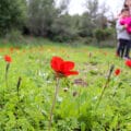
When we reached the first artwork (unfortunately, it was in mild disrepair), we climbed beyond it towards a sea of cyclamen. And as I got close to the ground to photograph the blossoms, we noticed an ocean of narcissus just a bit further off the path.
There’s really nothing like flower season in Israel.
Shortcut Through Samson’s Ridge
We followed this lovely path for a while longer, then noticed the rest of Shimshon’s Ridge on a black marked trail off to the left. Since we’re always up for a little bit of a climb, we followed the rocky path up through the trees.

Here too, narcissus flowers blossomed between the stones. The trail lead us back towards the parking lot, passing by impressive views before leading us through another dark forest.
A few short hours later, we were back at our car. That morning’s walk through Tzora Forest had been unexpectedly incredible. It’s hard to know how many more hidden gems are waiting nearby, in the beautiful Jerusalem countryside.
But I’m going to try to find them all.


Hikers’ Notes:
Here’s what you need to know before heading out on this trail:
- This is a circular hike.
- This trail is shady and well suited to all seasons. It is particularly nice in the winter and spring.
- The trail is suitable for dogs.
- Most of this trail can be hiked with a very good jogging stroller. Use the trail map in the table up top to take the more stroller friendly version of the hike.
- Use the trail map and trail marker gallery in the table up top to find your way through the trail. You can also use the Google Earth file to follow your location on the map as you hike.
- Trail marker colors: black, red, Shimshon's grave, green, black. For flatter version: black, red, green only.
- There are small play areas and other points of interest throughout the park which make this trail great for kids.
Don’t forget to read my guide to the navigational features in this post before you hit the trail!
Trail map from Amud Anan.
Here’s a link to the KKL Trail Map.
Questions? Have you hiked through Tzora Forest? I’d love to hear about it in the comments!




Hi! How long did it take for you to walk this trail?
It took about two hours.
We did this hike a few days ago. It really is a beautiful forest! It was very busy though with lots of families out and too many cars – not the hidden forest that you described. We did have a problem with the trail halfway through and ended up walking a lot more than 6k. When we walked back down the hill from Shimshon’s grave, your trail markers say “At the parking lot make a right on Derech HaPsalim” which we did. We followed the green Derech HaPsalim trail for quite some time until we realised we were walking in the wrong direction! Could you explain to me please what we should have done from the Shimshon’s grave parking lot as it is still not clear to me. Thanks!
Re: crowded, I guess on Hanukkah, anything can get crowded 🙂
I’m so sorry the trail marker gallery was confusing. I can understand how it would be.
When you return from Shimshon’s grave, the green trail leads in two directions. Depending on where you arrived from, the path you take could be described as “right” or “straight.” This is why in the subsequent picture, I made sure to say “You should now be walking back in the direction you came, towards the trailhead.”
I’ve updated the description on that trail sign to include the same instruction (walk on the green trail back in the direction of the trailhead). Can you think of a way to describe it that would be easier to understand? Would appreciate your feedback so that I don’t send anyone else on a wild goose chase!
Thank you so much for your comments and feedback.
Thank you for your quick response! Though we initially knew that we were turning away from the trailhead, we thought we were eventually walking back in the direction we came. Your map shows twists and turns, so were trying to follow that.
So from what I understand, we should have walked down from Shimshon’s grave and, with our backs to the grave hill, walked straight across (forward) and NOT turned right. If that is correct, I would simply say carry on walking straight across into the wooded area.
Thank you so much for all your hard work!
Thank you! I’ll try to make it clearer.
We did the hike today and could not find the black trail marker from the beginning parking lot that leads to the red trail. We found the black trail marker that veers right (along the big rocky cliff) and and kept walking right, but didnt get us on the path (beautiful view, but waste of time). So, instead we took the green trail up the hill and did the whole thing backwards, which was not a problem. Made it to Samson’s grave and found the red trail that led us back to the black trail/parking lot. Voila, found what we should have done. In the description, can you say to VEER LEFT DOWN THE HILL ON THE DIRT PATH to find the red trail and turn left? We thoroughly enjoyed the day, just took us about 45 minutes extra to get going on the green trail.
Thanks for your comment.
I’m not sure saying veer left down the hill will do it – I am pretty sure if you veer left right at that spot, you end up on a different trail. In the trail marker gallery, it says “Make a right on this path down towards the orchards.” along with a picture. Did you try to figure it out according to the trail marker gallery? I’d love to figure out the exact right wording to make this easier for people!
Either way, I’m happy you had a nice time. And thanks for your help in getting these directions right 🙂
We had the same issue when we tried this trail a year or two ago.
We did this on a Friday around mid-day in the spring. The trail wasn’t too hard to find, especially when using the Google earth route. The scenery, route and flowers are beautiful but unfortunately be aware that everywhere was overrun with motorcycles and 4x4s.
We just did this trail and had a wonderful time! It was tricky to find the black trail from the parking lot down the hill towards the orchard and towards the red trail. But we did find it — using Google Earth helped. It’s a dirt path leading downwards from the 6 tall and narrow white pillars. The pillars say GROVES on them. Once we started heading down that path, you soon get to an ATV road at the bottom that is the red path. iIt was beautiful and just as described! Thank you for this excellent blog post!