| Trail Map | ||
| Distance: One way 3.5km | Time: 2 hours | Difficulty: Moderate |
| Ascent: 287m |
Click here to go straight to hike notes.
A few weeks ago, we went waterfall watching in the Golan Heights. During our morning of adventure, we actually only managed to hit two major waterfalls: Orvim and Sa’ar Falls.
But the long drive was still completely worth it.
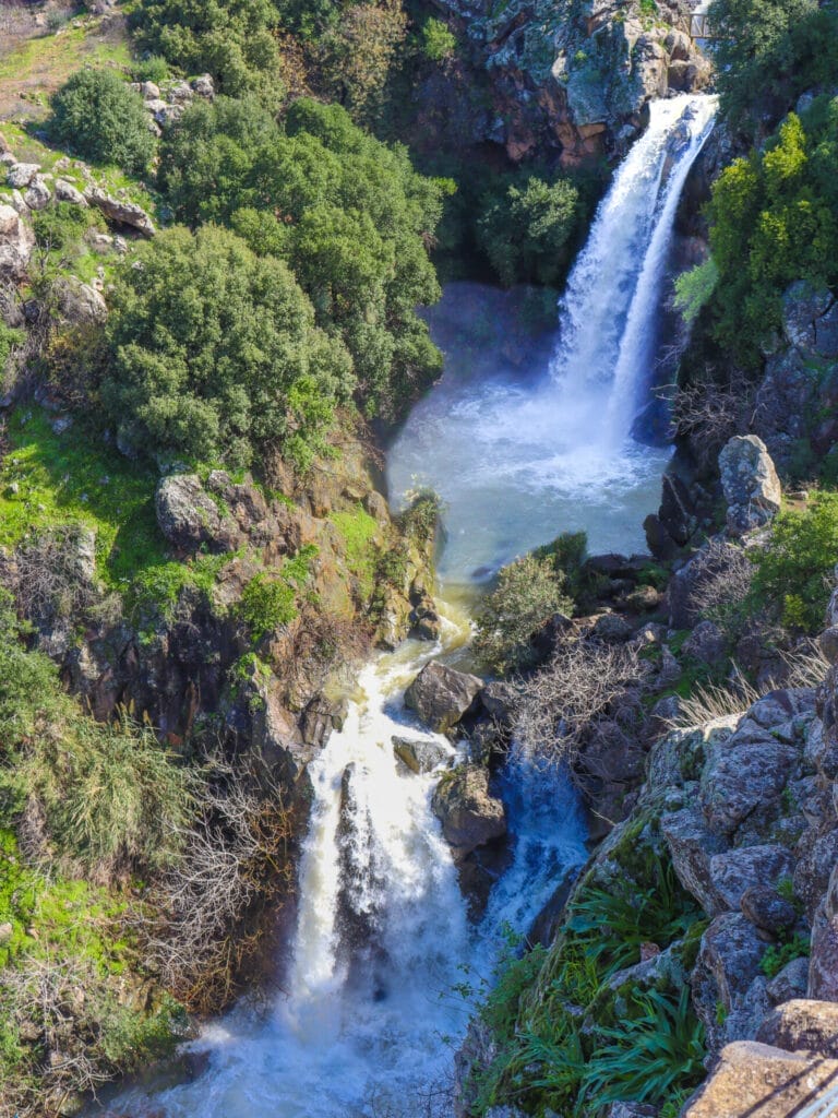
Witnessing the raging rivers, the whitewater rush, and the incredible spectacle of the falls themselves, it was pretty hard to believe that in just a month or so, these waterfalls would be completely dry. But that’s exactly what happens to Sa’ar Falls, a wintertime only waterfall that owes its existence to plentiful precipitation.
The nice thing about Sa’ar Falls is that there are many ways to see it. Option A is to just drive up, get out of your car, walk a few steps, and behold Sa’ar Falls in all of its glory. Option B is to take a short hike through a beautiful area near Sa’ar Stream to reach the falls.
When we visited Sa’ar Falls, we didn’t choose either of these options. Since we’re hikers, we had to try to make the final destination just a little bit harder to reach. Isn’t it always more fun that way? So, we began the hike even further up Sa’ar Stream and walked above it for a few kilometers before reaching the falls.
It was nice to get in an extra walk, but if you’re short on time, Option B is definitely the best! Most of the beautiful parts of the walk are located along this short stretch of trail.
Here’s how we hiked to Sa’ar Falls, an incredible wintertime only waterfall in the Golan Heights:
Getting There
First things first: it’s hard to navigate your way around the Golan Heights these days (February 2024). Since the start of the war, Israel has been scrambling GPS signals in the north and south, making navigation a tricky matter.
Our strategy was to study the map and follow the roads, old-school style. After a few wrong turns, we found ourselves at the trailhead, just outside of Ein Qiniye. We parked our car and set out on the green trail.
You Take the Good, You Take the Bad
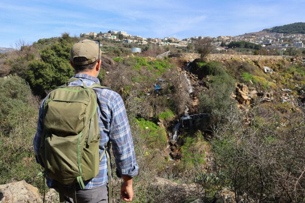
The really cool thing about this trail was that it was situated just next to the flowing Sa’ar Stream. It was nice to walk along and hear the rush of a river, beautiful natural music to our ears. The trail itself was peppered with trees, greenery, and eye-catching winter wildflowers. It was a nice walk in nature.
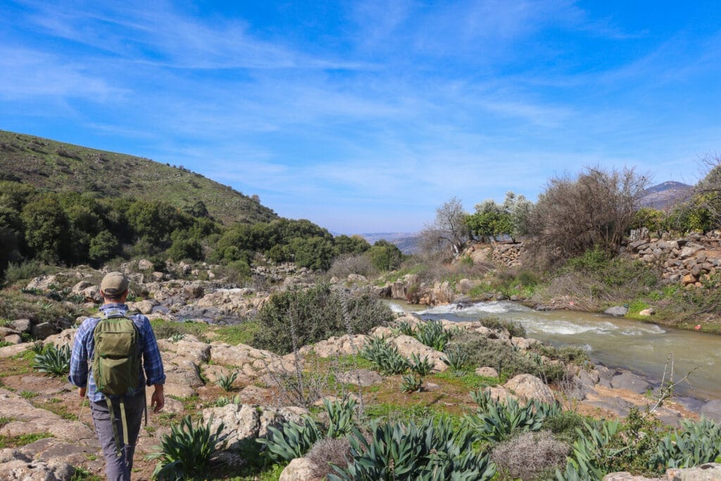
The downside of this trail was that it wasn’t well taken care of. At all. There were broken appliances and other random urban refuse dumped alongside the stream. And that remained true for most of our walk – it certainly didn’t feel isolated or away from it all.
Still, we plowed along, enjoying the cool weather, the sound of rushing water, and the beat of our hiking boots on the rocks and mud. These days, between the war and the incessant rain, it’s nice to be outdoors, no matter the scenery.
The Better Starting Point
After walking along the stream for quite some time, the trail snaked back up to the road. Here, we saw a couple with a baby park their car and begin hiking. That seemed like a good idea! We were less than a kilometer away from Sa’ar Falls at that point.

For some reason, this part of the trail was way nicer than the rest. It was clean and well-kept. It felt more isolated, more a part of the natural terrain. We followed the path up and down over rocks, well above the stream, enjoying the change in scenery.
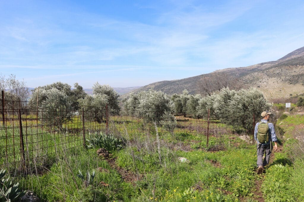
We still had a bit of time on the trail before reaching the waterfall. There, we surmised, there would probably be more people and a lot going on. We relished our last few minutes of quiet in nature.
Truly Magnificent
To get to Sa’ar Falls, we had to cross another road and then follow the path down towards a crossing bridge. From our perspective on the road, we could see that we had been correct: this was definitely a popular spot. Since Sa’ar Falls is totally accessible, there were lots of elderly people and families with small children who had come out to see the massive waterfall after weeks of rain.
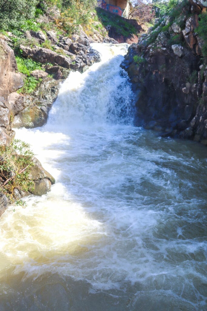
Luckily, the waterfall was so loud that we really couldn’t hear anything else but the sound of rushing water. We followed the path down and crossed a bridge above the upper fall. On either side, water rushed down, and an effervescent mist filled the air. It was breathtaking.
Towards the Lookout
From here, we walked back up a set of stairs and down a neat path to the lookout. From the top, we would be able to see the complete picture of Sa’ar Falls, a multilevel cascade that was worth taking in from afar. We passed by the food stalls, offering hot corn on the cob and Druze Pita. And we made our way towards a series of viewpoints, stopping at each one to take in the scenery.
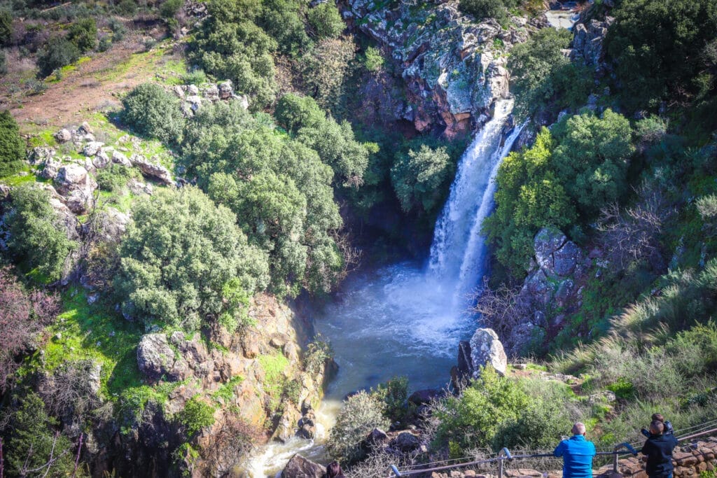
Sa’ar Falls was spectacular. And I loved seeing the families and elderly couples gathered in different places, all taking in the majestic beauty.
Heading Back Home
After saying goodbye to Sa’ar Falls, it was time to head back to the car. This is the part where we really wished we had chosen the shorter path. We were short on time, and we still had to go all the way back along the same trail we had initially followed.
Luckily, we’re pretty good with maps, so we found a nice shortcut along a dirt road through the agricultural area above the stream. We hightailed it back to the car on flatter ground.
All’s well that ends well. We made it back to the car just in time, having enjoyed a beautiful waterfall and a good workout. However you choose to get there, Sa’ar Falls is an incredible sight to behold, a fleeting wonder available to anyone who travels north during Israel’s rainy season.


Hikers’ Notes:
Here’s what you need to know to hike this trail at Sa’ar Falls:
- Visit Sa'ar Falls in the wintertime, after plentiful winter rains have fallen.
- You can visit the falls in three different ways. The easiest is to put Sa'ar Falls into Waze and drive directly there. Or, you can park at Parking point B and take a short hike to the falls and back (recommended). The way we hiked is to park at the first parking point, and hike 3.5 kilometers to the falls. If you can park a second car at Sa'ar Falls then you will not have to hike back the way you came.
- Wear good hiking shoes and bring water and sun protection to hike this trail.
- Great for kids.
- Use the trail map and trail marker gallery in the table at the top of the page to find your way on the trail.
- Trail marker colors: GREEN trail along Sa'ar Stream all the way to the falls.
Don’t forget to read my guide to the navigational features in this post before you hit the trail!
Trail map from Amud Anan.
Questions? Have you seen Sa’ar Falls in the wintertime? Let’s hear about it in the comments!

