| Trail Map | Terrain View | |
| Distance: 8.3km | Time: 3-4 hours | Difficulty: Moderate |
| Ascent: 227m |
Click here to go straight to hike notes.
When it comes to hiking in Israel, it’s all about the timing.
Seasons change, bringing new swimming holes, waterfalls, and wildflowers. Then, they change again, drying things out, but adding wild raspberries, figs, and ripe almonds to the trails. The key to hiking here is to choose the right trail at the right time of year.
February time is the right time for just about any hike in Israel. And last week, when we were looking for a new trail to try, there was no shortage of possibilities.
I thought back to a hike that we had taken with the kids in the summertime: Gevaot Gad. This short trail included a sheikh’s tomb and lots of dry grass when we hiked it. And I realized that the landscape at Gevaot Gad would be completely transformed during the rainy season.
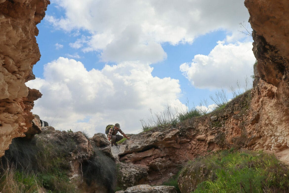
So, we turned to the map and planned out a much longer, 8 kilometer, circular trail at Gevaot Gad. The hike was going to include the sheikh’s tomb, underground caves, and lots of wildflowers.
Our hike at Gevaot Gad turned out even better than we expected. We never imagined how lush and green the landscape would be, or how full of various wildflowers. There were so many caves and tunnels that we didn’t have time to explore them all. We’ll be back!
Here’s how we hiked this 8 kilometer trail at Gevaot Gad Nature Reserve:
Woah, Now!
We pulled onto the dust road and parked our car, next to fields of green grass blowing cheerily in the early morning breeze. Just stepping out of the car, we realized that this was going to be a great hike.
We set off on the trail, down the dirt road towards our first destination: the Sheikh’s tomb at the top of a hill. Soon, we reached the turnoff and began to climb up towards the ancient structure.
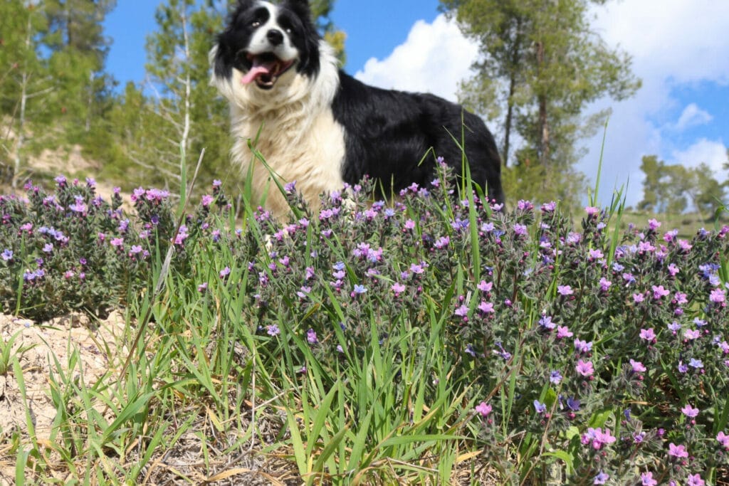
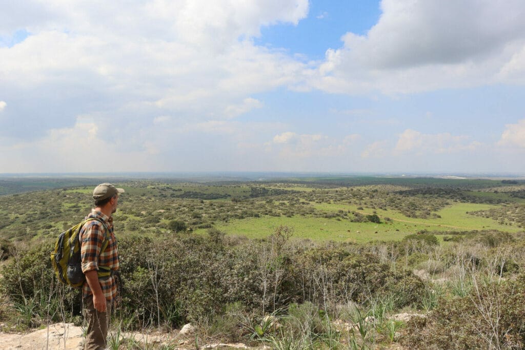
As we climbed, we passed by colorful wildflowers in shades of yellow and purple. Butterflies flitted between the flowers. As we ascended, the views became more and more spectacular. We could see rolling hills with small patches of shade trees, each one an appealing place for a picnic.
After a short climb, we reached the tomb at the top of the hill.
Sheikh’s Tomb…or Picnic Spot?
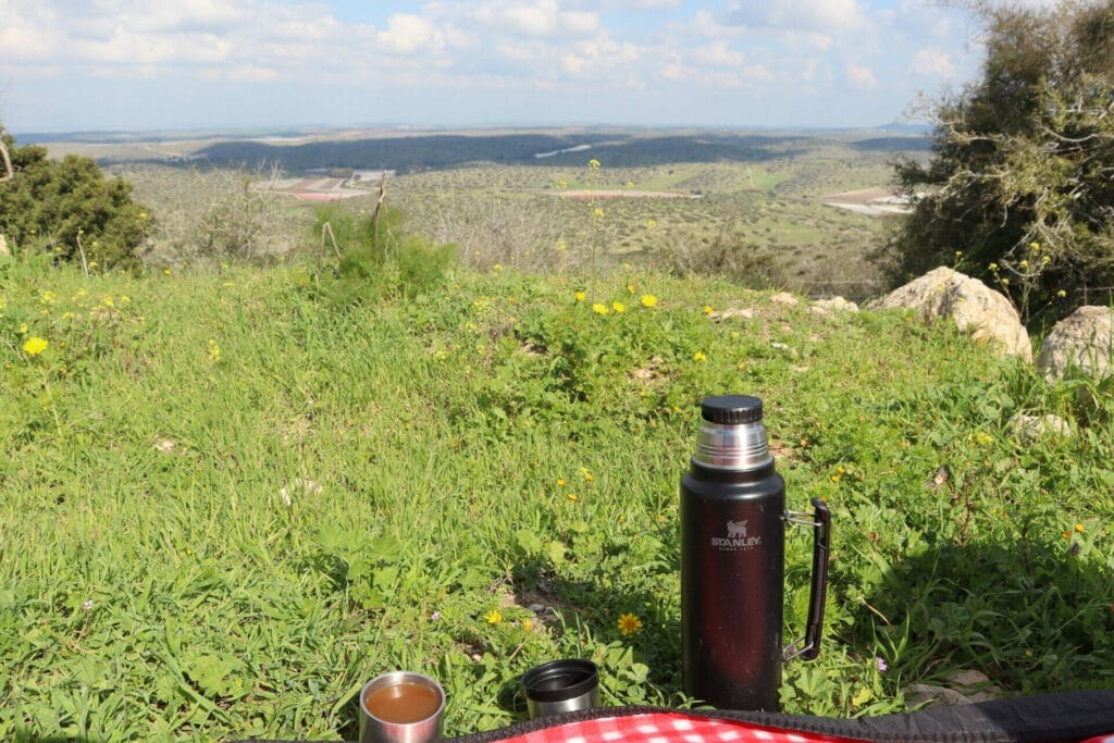
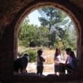
We had planned on spending just a few minutes at the top, as we had already visited this ancient tomb (7-10th century) on a previous hike. But as we peered past the darkened archways inside the structure, a magnificent view revealed itself. On top of a grass and flower covered hill, we spotted the perfect place for our morning coffee. We had to stop.

We spread out our blanket and poured hot coffee, and got ready to enjoy the silence. It seemed that we had this amazing place all to ourselves. But of course, we weren’t the only ones who wanted to see a sheikh’s tomb that February morning. Soon, a group of hikers showed up with a guide, so we listened as he described the local plants around the tomb and spoke about the history of the domed building.

Still, we were happy we stopped there. On that hilltop, we had the best view in the entire nature reserve.
Off to Explore
After breakfast, we packed up our stuff and set off to explore. We climbed down the green trail back onto the black trail and enjoyed a lovely walk past red wildflowers aplenty. The weather was perfect. White puffy clouds filled the blue sky, shielding us from the winter sun. Soon, we reached our next stopping point – an underground cave system which we couldn’t wait to explore.

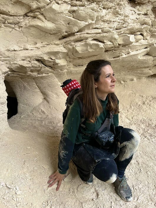
We passed by cisterns and wells and other holes in the ground on our search for the entrance. It took us a while to find the doorway into the underground tunnel system. But we finally found it. And we crawled in to explore.
As opposed to other secret tunnel systems we had traveled through, this one was made out of a chalky, white stone. Still, there were the familiar nooks on the sides of the tunnel (presumably for oil lamps), and little rooms off to the side. This tunnel system seemed to lead in dozens of different directions, so we carefully marked our path as we crawled along, not wanting to get lost underground.

On the Wilder Side
Soon, we emerged back into the sunlight, leaving further explorations to another day. Then we followed the wide trail for just a bit longer, eventually turning off onto a narrow trail that led us through wild grasses and plants.
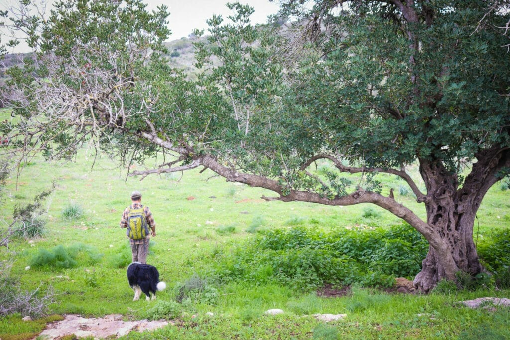
This trail was much harder to follow – but it was also a lot of fun! We had to keep track of red trail markers that appeared at regular interviews, sometimes hidden by overgrowth or a patch of flowers.
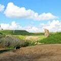
After walking this way for quite some time, we reached the last major attraction of the day: the remnants of a fortress on top of a hill.
Unwritten History
We climbed past an old olive press onto a hilltop, surrounded by the stone walls of a fortress. Try as we might, we couldn’t find anything of substance to tell us more about this place. All we found online was that it was an unexcavated fortress called Majrichi (or something like that). I walked from one side to the other, wondering what ancient stories were waiting to be discovered right under our feet.
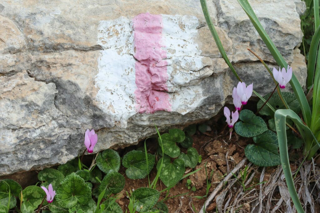
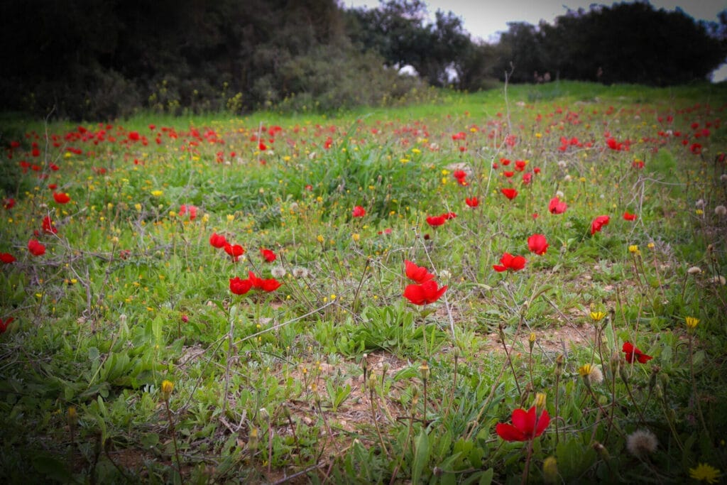
Next, we continued along the red trail, past more shrubbery, wildflowers, and trees. Towards the bottom of the hill, we met with fields of gorgeous red anemone blossoms, their petals open to the midday sun.
Back on the green trail, it was a short walk back to the dirt road where our car was waiting. Soon, we were hiking past the ascent to the sheikh’s tomb, through fields of green grasses towards the trailhead.
Perfect Hike, Perfect Season
It had been a perfect day: full of beauty, history, and adventure, all on one mid-length trail. This 8 kilometer circular hike at Gevaot Gad Nature Reserve is a wonderful choice for wildflower season.

Hikers’ Notes:
Here’s what you need to know to hike this trail at Gevaot Gad:
- This hike is ideal for cooler days in fall, winter, and spring.
- This is a circular trail.
- Dogs are allowed.
- The trails are well marked and easy to follow. Keep a close eye out for red trail markers on the middle part of the trail so you don't get lost. At the top of the hill with the sheikh's tomb, the green trail is blocked by a temporary gate. You can go back down on the blue trail, or just slide under the gate (that's what we did). This trail is very steep, so be careful if you choose to climb down this way.
- Use the trail map and trail marker gallery to find your way on the trail.
Don’t forget to read my guide to the navigational features in this post before you hit the trail!
Trail map from Amud Anan.
Questions? Have you hiked this trail at Gevaot Gad Nature Reserve? Let’s hear about it in the comments!




Thanks for all the info. As of April 14, 2025, the red trail is now blue.
Also- any more info on how to find the tunnels? I found lots of cisterns and wells but could not find an entrance to the tunnels.
Additionally, it seems that perhaps some new fences were put up, and when the blue (old red) hits the green, we had to more a fence to be able to make the left back down to the black (road).