| Trail Map | Terrain View | |
| Distance: 9.5km | Time: 4 hours | Difficulty: Moderate-Strenuous |
| Ascent: 355m |
Click here to go straight to hike notes.
Haifa – it’s one of Israel’s largest cities, home to the Bahai Gardens, MadaTech, and the Technion. It also happens to be located in one of the most beautiful areas of the country: the Carmel Mountains.
The Carmel Mountains are a series of lush green hills full of hiking trails. In the Carmel, you can walk through shady riverbeds, see abundant greenery, climb into caves, and take in gorgeous views out to the Mediterranean Sea.
Last week we traveled up north to the Carmel in search of another great hike. We wanted something green and beautiful, maybe with a walk along a river and spectacular views.
And we got it all.

Our hike through Nahal Kelah, Little Switzerland, and Nahal Oren was beautiful, varied, and relaxing. We got to see all kinds of scenery in one, 10 kilometer loop trail.
Here’s how we traveled on this journey through the Carmel Mountains:
A Riverbed Worth Returning To
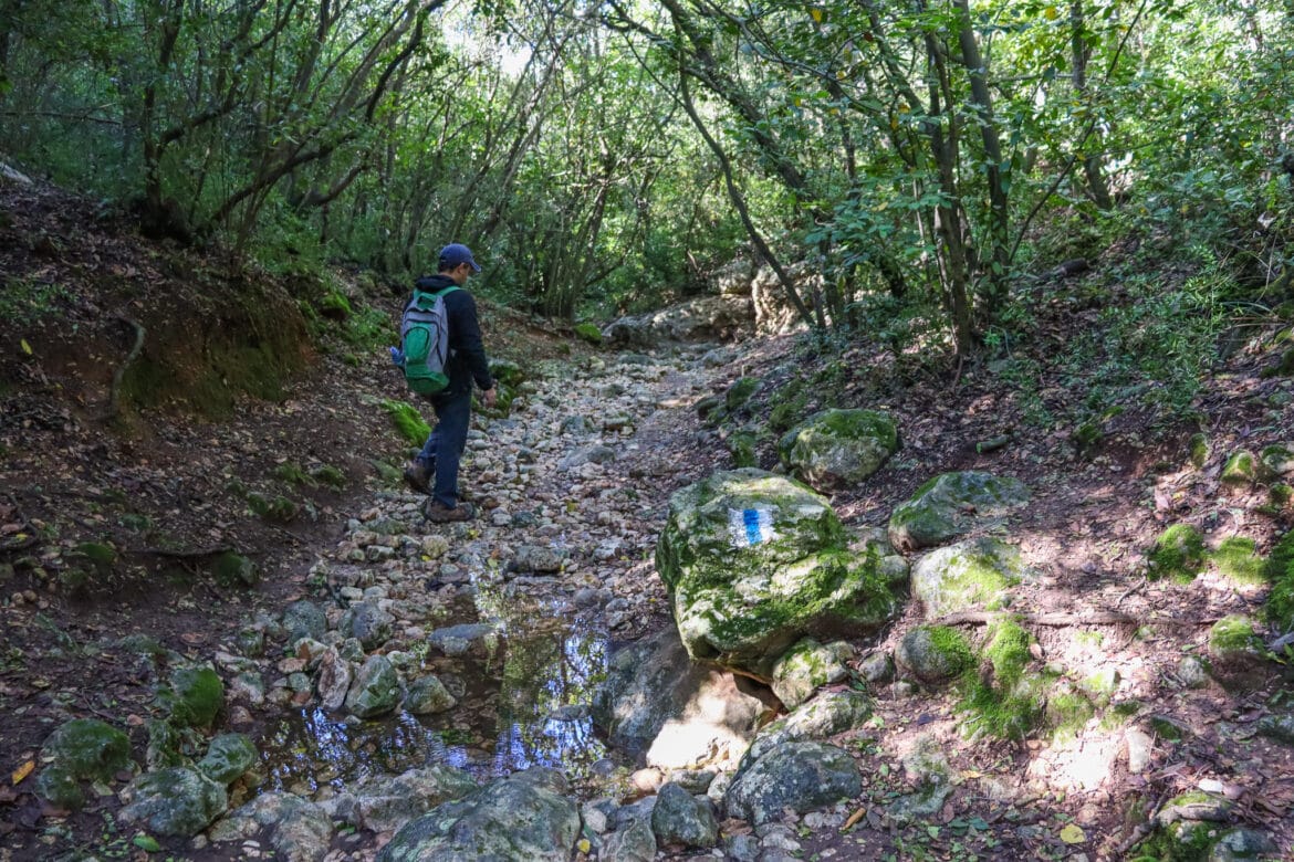
We began our trail at Nahal Kelah. To get there, we parked in a lot off the highway, crossed over, and followed the blue trail down towards a shady riverbed.
We had been to Nahal Kelah before (the other side of it.) But this dark and lush riverbed was most definitely worth returning to.
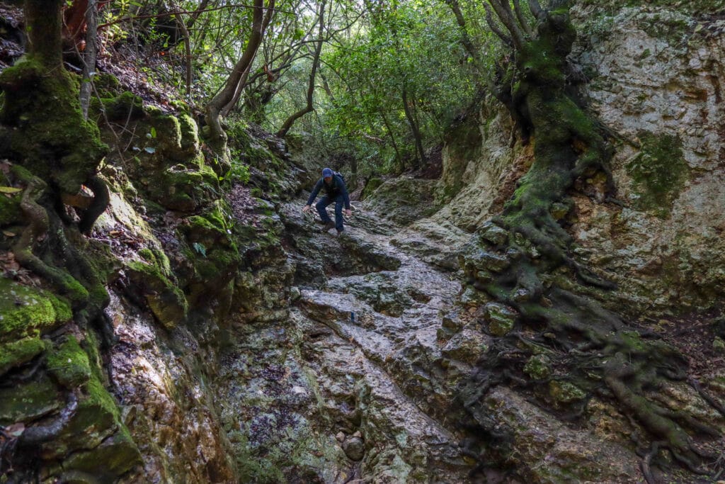
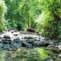
No matter how close it gets to anything else (who even knows what’s beyond that thick layer of greenery?), walking through Nahal Kelah always feels like a trip through an isolated paradise. A dense jungle of vines and tree branches hangs down on all sides.
We climbed over rocks and stones, down past tangles of tree roots and bright green moss.
In the riverbed, everything was covered with a layer of moisture, leftover from a winter rainstorm. In order to tackle tricky descents, we had to hold on to tree roots and branches to keep from slipping. Luckily, there were a lot of those.
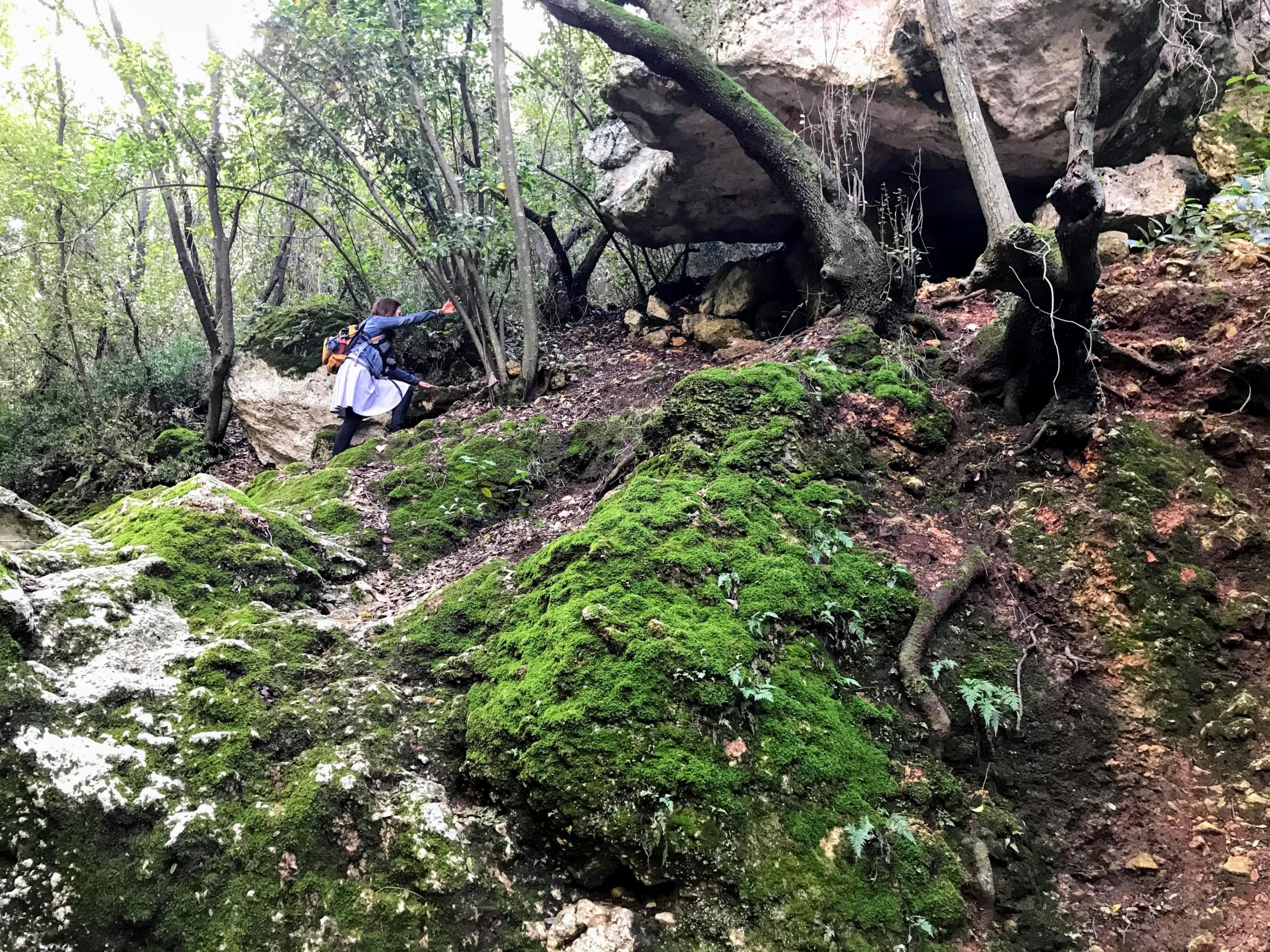
When we did get a little muddy, there was plenty of moss (nature’s best towels) to clean our hands on.
Emerging Towards the Sunlight
After a long walk in the mysterious shadows of Nahal Kelah, we climbed up a set of stone steps and over a bridge. Our journey through the Carmel Mountains would now continue in the sunshine, along part of the Little Switzerland hiking path.

Little Switzerland is aptly named. The views out from this pathway are like nothing else in Israel. It’s not just that there are green mountains and hills.
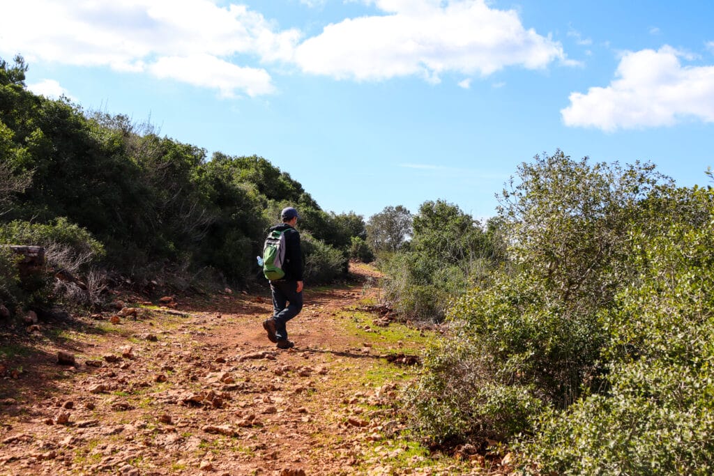
The scenery all around feels particularly fabulous. These aren’t your typical pine tree covered mountains or grass covered hills. Instead, thick trees stretch out in every direction, creating a setting that feels like the Swiss countryside.
As we turned around the bend, views of Haifa and the Mediterranean greeted us, crisp blue against a backdrop of white buildings. We walked for a while, enjoying the mid-winter sun. When we neared the end of the red trail, we found a place to stop and eat lunch while watching the sea and clouds.
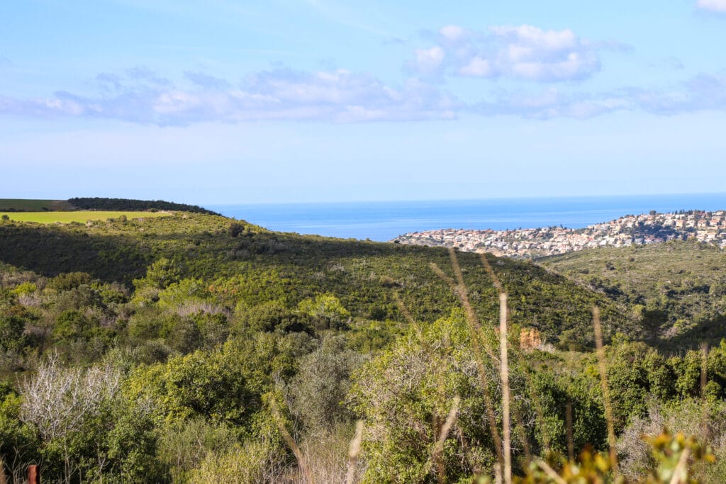
Past a Horse Ranch Towards a Memorial
The tail end of the red trail crossed over a campground. We passed through it and walked by a horse ranch. Plans of a family camping vacation with horseback riding drifted through our conversation.
Next, we followed the black trail, which took us up through the woods towards a memorial for victims of the Carmel Mountain fire. (In 2010, a forest fire tore through the Carmel, destroying acres of trees and killing 44 people.)
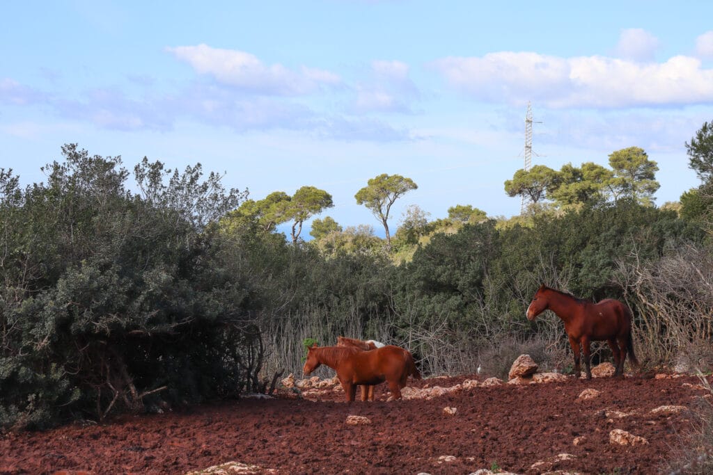
Up until now, the trails we were on had been completely deserted. The memorial near Beit Oren was the first place we ran into other humans out on the trail.
From here, we followed the path towards Nahal Oren.
Nahal Oren – Fun for Everyone
Nahal Oren is a valley with a river that flows year-round. It’s also an archeological site. Along the river there are old structures and ancient ruins.
This combination of history and nature makes Nahal Oren the perfect place for a hiking trip. And on any given day, there are likely to be several school trips out on this trail.
We ran into the first group of teenagers as we climbed over a crumbling ruin. Passing by as fast as we could, we made our way towards the first signs of water in the Nahal.
Here, we met an elderly couple, taking a slow stroll along the riverbed. They seemed undisturbed by the prospect of being overtaken by a high school field trip. They ambled along at a relaxed pace, pausing to say hello to the baby cow that had wandered close to the river.
I Think We’re Alone Now
We, on the other hand, wanted to enjoy this beautiful riverbed in peace and quiet. We passed by all of the archeological sites (and the crowds of teenagers) with barely a glance and made our way towards a spring and a flowing river.

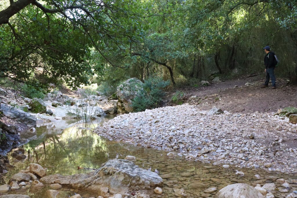
In Nahal Oren, reeds and trees hung down over a shallow, bubbling stream. The valley was a mixture of river rock and larger stones. When we left the path to explore, we found large pools of water under a canopy of shade.
Had it been a hot day, Nahal Oren would have been a great place to get wet. As it was, we enjoyed the sound of water rushing past and the birdsong that filled the trees around this mountain stream.
We followed the green path, leaving the water’s side for a few minutes as we climbed through a forest. Hanging on the tree trunks were two wrecked cars, now forever part of nature’s landscape. I’m not quite sure how they got there.
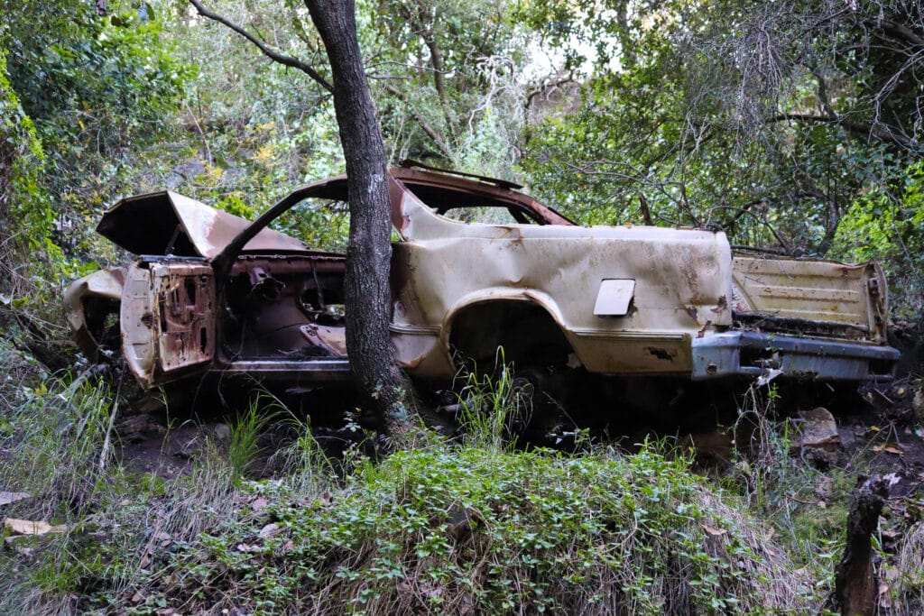
The Road Home
Too soon, we had to say goodbye to Nahal Oren. As we turned off the green trail to the blue trail, we passed by several groups of children playing in the water and enjoying a picnic in the sunshine.
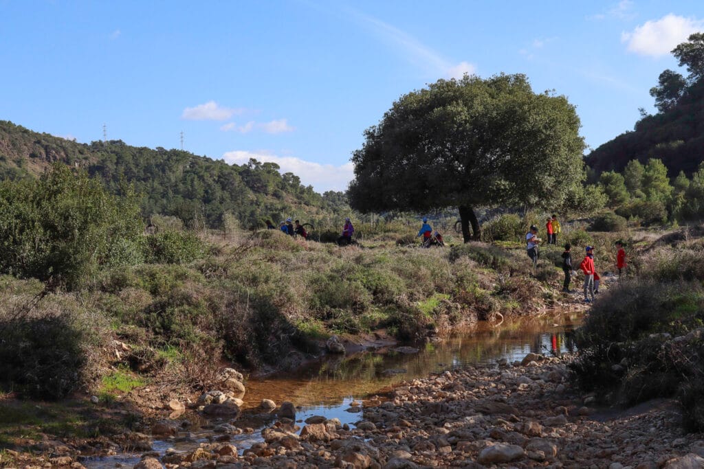
On the blue trail, we ascended back up through a young pine tree forest. This part of the hike was in an area had been completely destroyed by the Carmel Mountain fires years ago.
It was good to see that at this point, the woods had almost completely recovered. New, green growth spread around us everywhere. The only evidence of the fire that once decimated the forest were white branches reaching towards the sky, the burnt remains of trees that lived before the fire.
Many kilometers later, the blue trail emerged into the parking lot where we had begun our journey hours earlier.
We had come to the Carmel for a hike through forests and along rivers. We had come for beautiful views. And we got all of that and more in this fantastic journey through Nahal Kelah and Nahal Oren – a perfect trek for experiencing the very best that the Carmel Mountain Ridge has to offer.


Hiker’s Notes:
Here’s what you need to know before going on this hike:
- This is a circular trail.
- Suitable for dogs.
- The trail can be slippery and muddy in the winter time.
- Bring plenty of water and good hiking shoes.
- To follow the trail, use the trail marker gallery and trail map in the table up top. You can also follow your location on the trail in Google Earth using the downloadable file in the table.
- Trail colors: blue, red, black, green, blue.
- The trail does not begin from the parking point. To get to the trailhead, make a left onto the highway (3 minute walk), then make a right through the bushes towards the blue trail. Use the trail marker gallery to find the turning point.
Don’t forget to use my guide to the navigational features in this post before you hit the trail!
Shout out to Diana Barshaw at diananbarshaw.com who was the inspiration for this hike. She has a great site with lots of ideas for hiking trails in the Carmel.
Trail map from Amud Anan.
Have you hiked through the Carmel Mountains? Let’s hear about your experience in the comments below! Or leave questions about the trail.


This was definitely a great hike, but would NOT recommend it in the heat of the summer… and with a dog. Except for the incredible beginning, of cool forest comparable to the Appalachian trail, the majority of the tiyul was in direct sun and completely DRY! I spent the way down just waiting for that bubbling stream and the chance to dip my feet in the water… Not this summer at least! Thank you, though, for the amazing directions. We did get lost at the top of the mountain after the bridge, taking the double black trail off the red, instead of turning left on the red, but your trail map put us back on track (once we looked at it!!). Thanks for another great experience!!
Thank you so much for your comments. I am surprised that the stream was dry! Good to know.
Hi, I’m struggling to open the Google Earth KMZ file. Is the file correct/working?