| Trail Map | ||
| Distance: 14km | Time: 3-5 hours | Difficulty: Moderate |
| Ascent: 94m |
Click here to go straight to hike notes.
This past week, we decided to go coastal. After almost a month off my feet, my foot/ankle was finally almost completely recovered. It was time to hit the trail again! And a long, flat seaside trail seemed like just the right hike to dive back into.
And wouldn’t you know it? Just a few weeks earlier, I had missed our group’s 22nd section of the Israel Trail, a gorgeous walk from Beit Hananya to Nahal Hadera Park because of my injury. Since we are on a mission to hike the Israel Trail all the way from the northernmost point to the very end in Eilat, I didn’t want to leave even one section out of my journey. And my husband was happy to accompany me along this part of the trail (even though he had hiked it already).
So, we packed up a bag with our usual hiking treats and set out for the coast.
After hiking this trail, I understand why my husband didn’t mind repeating this section – it was pleasant and gorgeous, just the kind of hike that you don’t mind walking again and again. We got to experience tons of beautiful coastal scenery, along with a peek at Caesarea National Park, a stop at some sand dunes, and a visit to Hadera Stream.
And we even got to stop for ice cream along the way.
This 14 kilometer section of the Israel Trail is one that pretty much anyone can tackle. It’s easy, flat, and oh so beautiful. Here’s how we hiked it:
Begin with the End in Mind
Well, this precept from 7 Habits for Highly Effective People was useful for our hike. Since it was a one way trail, we opted to park our car at the end of the trail, getting a sneak peek at where we would finish the day – lovely Park Nahal Hadera.
We parked our car and called a Gett. Twenty minutes later, we were at the trailhead in Beit Hananya, where I had welcomed our Israel Trail group a few weeks earlier.
We hopped out of the taxi and set out on the trail. The first sight along the way was a piece of an ancient Roman Aqueduct, part of the same well known system as the one in Caesarea. There was even an old seal imprinted with Latin characters, etched into the stone.

After snapping some photos, we walked along past colorful purple flowers and flitting butterflies. Then, we ducked under one of the arches and headed into Beit Hananya. This little town was a nice place, full of big houses and carefully tended backyards. We followed the Israel Trail right through and out of town.
An Interesting Place
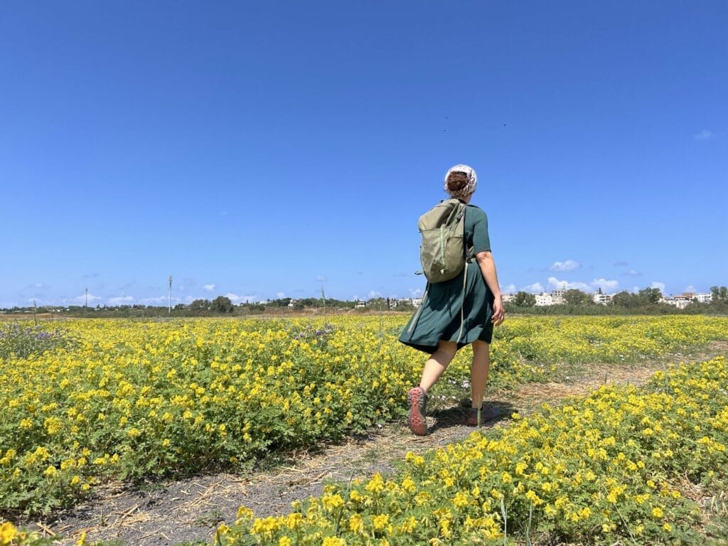
First, we crossed a field of yellow flowers.
Next, we got to negotiate with overgrown weeds, thorns, and, eventually, piles of garbage as we made our way through the outskirts of town towards Jisr Al Zarqa, an Israeli Arab town. As we walked through, my husband shared the stories told by our guide, Ben, on the group hike. He said that a long time ago, the local Bedouins had brought in people from Sudan as workers to help drain swamps of the area because they had a genetic mutation that made them immune to malaria.
Eventually, these workers settled here, and partly due to discrimination, Jisr Al Zarqa became kind of a run-down place.

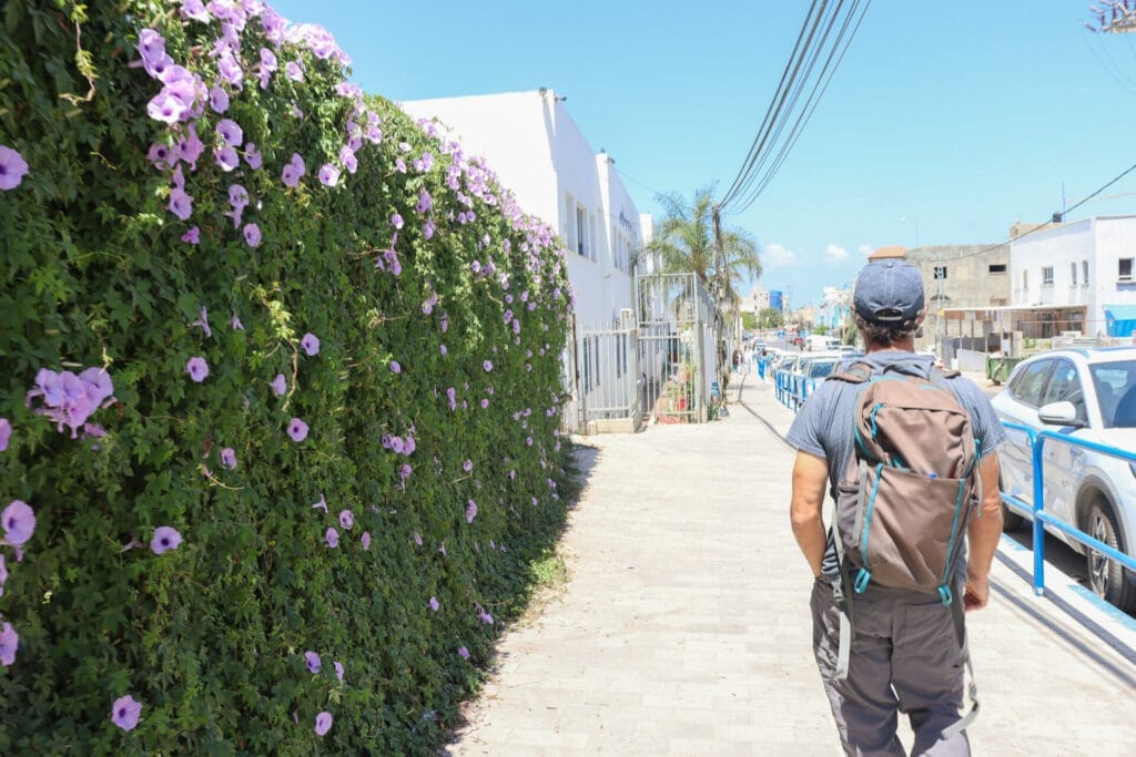
To help rehabilitate the town, the Israeli government decided to route the Israel trail right through it, hoping that this would boost tourism. Supposedly, this worked for a while, but pandemics and wars got in the way of progress.
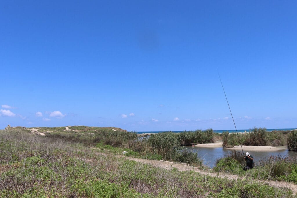
As we made our way out of the town, we encountered new housing units being built right on the coast. Then, we crossed past Crocodile Stream towards the rocky cliffs where sea waves and fishermen awaited.
Seaside
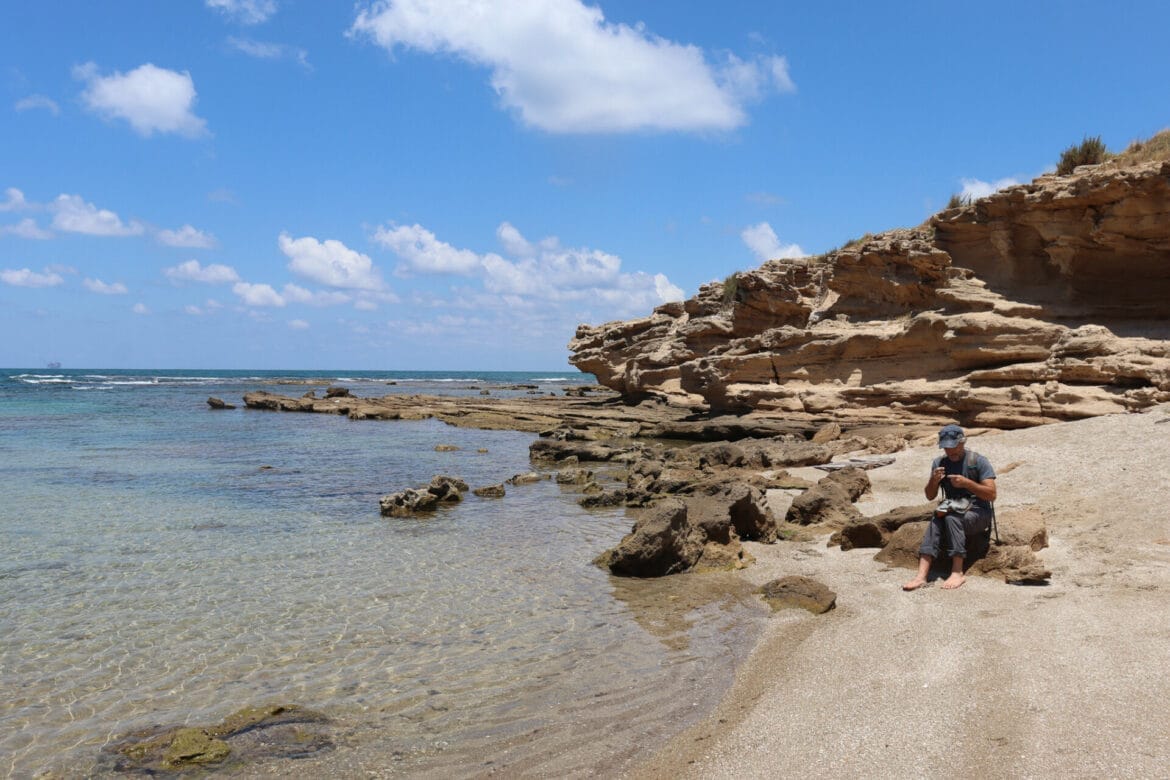
We walked over craggy rocks and sand in search of a place to eat breakfast – it was almost noon, and this spot by the sea seemed like a perfect place for a picnic. In search of shade, we scrambled up some rocks and sat on a large, flat ledge under a rocky overhang.

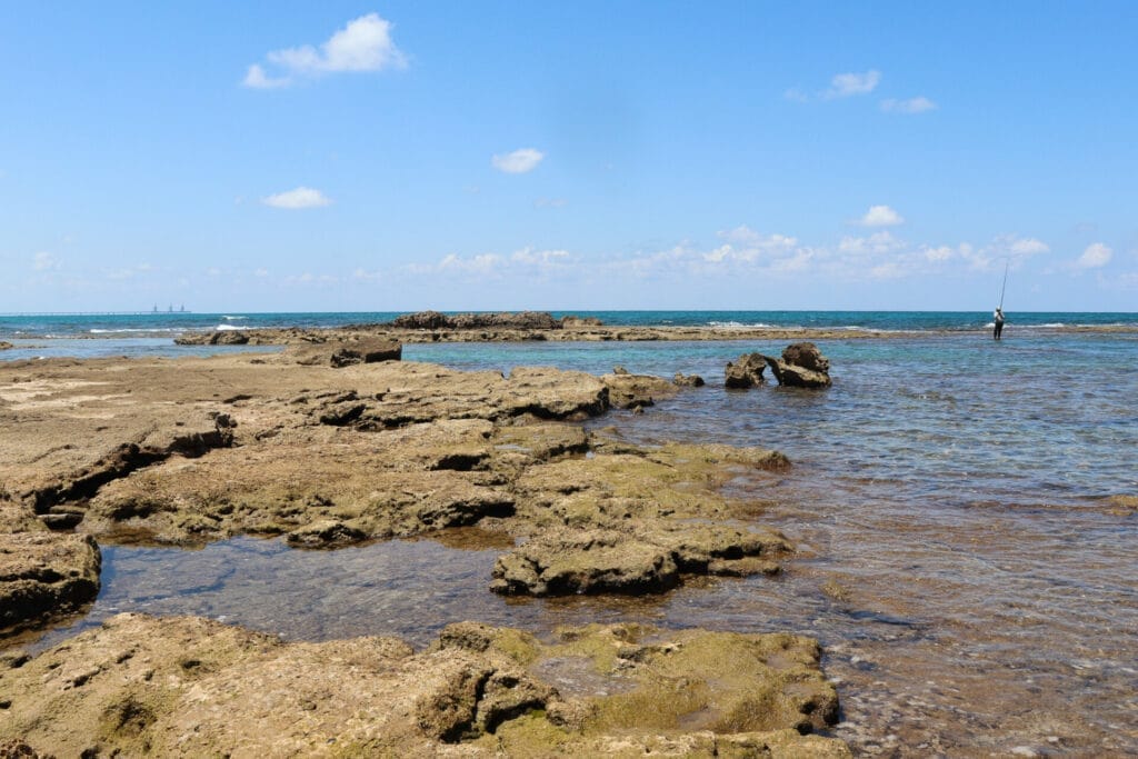
Then, we poured coffee and ate our breakfast staring out at the waves lapping towards shore. Down below, we could see dozens of crabs, large and small, crawling over all the little rocks. Fish swam in the shallow pools that formed near shore. A solitary fisherman threw his line out and back, out and back.
The scenery was just about perfect.
A Fishing Village and a Beach Walk
Eventually, we packed ourselves up and set back out on the trail. First, we encountered a cute little fishing village, complete with shanty shacks and colorful boats. I wanted to just stop and stay for a while.
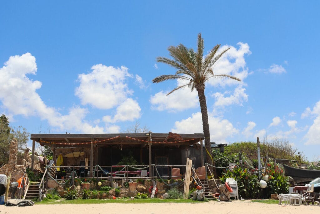
But alas, the rest of the trail awaited! We continued walking along the beach for quite some time, our bare feet making prints in the sand. Sometimes, we walked in the water, and other times on the wet sand. We lost ourselves in the quiet noise of ocean waves and sea birds.
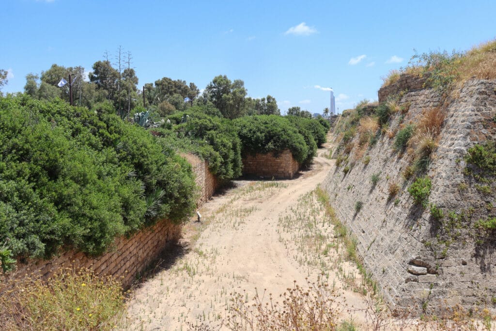
After some time, we reached Caesarea National Park. Here, the Israel Trail took us away from the shore and towards various antiquities. We saw a cool mosaic floor and an ancient moat that looked like it just needed a few crocodiles to be in working condition.
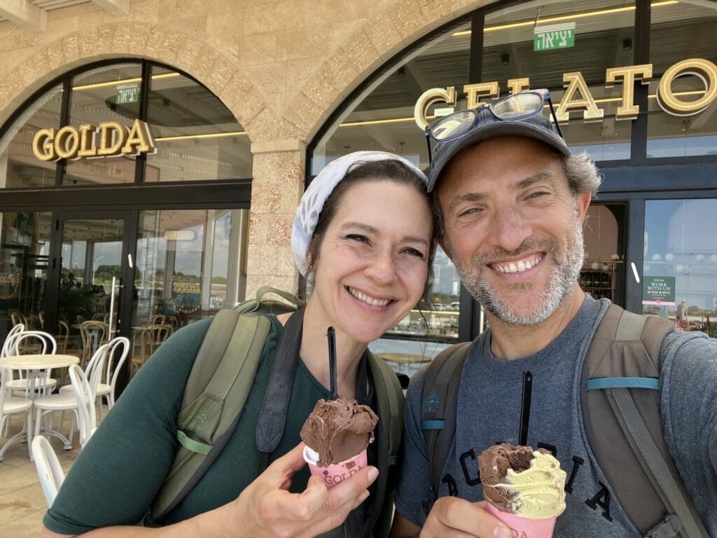
And after a long walk on the road near the National Park, we reached the most exciting stop of all: an ice cream shop!
The Boring Part
I had heard from my group hikers a few weeks earlier that the part between the ice cream store and the end was not that exciting. But I kind of liked it!
First, we walked along a long road…but it was quiet and flat, so that was a plus.
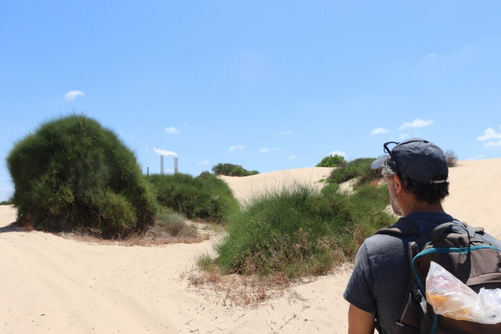
Then, we climbed over huge sand dunes, which was mildly challenging.
Next, we reached a part near the power plant, which was a little urban for my taste, but not too bad.
And before we knew it, we found ourselves on a very familiar part of the Israel Trail: the part next to Hadera Stream, which we’d hiked with the kids just last summer.
Home Stretch
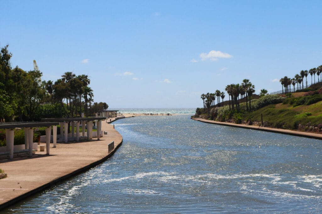
From here, we hiked along a pretty trail next to the stream until we reached the bridge. Atop the bridge, we gazed out at Hadera Stream, glimmering in the sun, as it spilled into the Mediterranean Sea. Next, we walked through the gorgeous park, complete with picnic areas, benches, an exercise park and more.
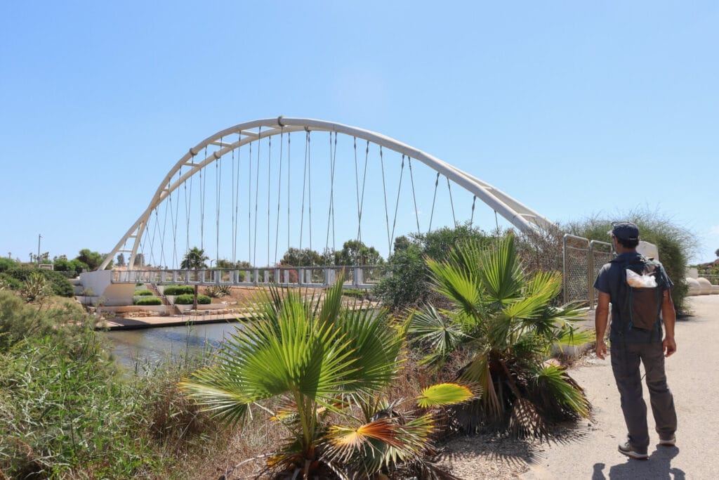
We crossed by the shady spot where I had waited for our Israel Trail hikers weeks earlier with a wine and cheese picnic.
Then we got back into the car and set out for home. Our hike that day had been exactly what I was hoping for – beautiful, peaceful, and not too challenging. And the best news? My injury seemed to be completely healed! I was pain free!
This stretch of the Israel Trail from Beit Hananya to Hadera Stream Park is a perfect choice for those who want to lose themselves in the quiet beauty of coastal scenery.
Hikers’ Notes:
Here’s what you need to know to hike this trail from Beit Hananya to Hadera Stream Park:
- This is a one way trail.
- Much of this trail is exposed to the sun, so it is not great for very hot days.
- This is a flat trail.
- Dogs are allowed.
- Wear good walking shoes (and bare feet for the sand part!) and sun protection to hike this trail. Bring water, but there are places to stop and buy food and water along the way.
- To follow the trail, follow Israel Trail markers from the beginning to the end. The Israel Trail markers are not always obvious and easy to find. Therefore, it is recommended that you use Amud Anan while you hike to make sure that you stay on track!!!
Don’t forget to read my guide to the navigational features in this post before you hit the trail!
Trail map from Amud Anan.
Questions? Have you hiked this trail to Hadera Stream? Let’s hear about it in the comments!
