| Trail Map | Terrain View | |
| Distance: 6.3km | Time: 2-3 hours | Difficulty: Moderate |
| Ascent: 171m |
Click here to go straight to hike notes.
In Israel during the month of March, it’s hard to find any hike that’s not absolutely overflowing with wild beauty. This is the time of year when you’ll want to go back to those quiet, humble trails that weren’t much to look at during the summer months. Flowers, green grasses, and wild grains grow everywhere. Caterpillars are out, and some early butterflies too. It’s the time of year when even the most simple trails seem absolutely magical.
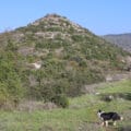
So this past Friday, we decided to revisit an old trail. Months earlier, we had gone on a 6K loop hike near Mata that led up a hill, past some cool caves and ruins. The hike was fun the first time around – we were with our kids and the weather was great. But we knew that at this time of year it would be absolutely gorgeous.

Although Friday morning was overcast and a bit windy (and colder than it had been in a while), the fact that this hike was through open terrain meant that we got to enjoy the sun whenever it came out. And we figured that if those threatening rain clouds burst, we could hide in the underground caves midway through and hunker down.
Luckily for us, the weather only improved that morning. We got to enjoy a quiet trail with gorgeous views and a fabulous array of colorful flowers.
Here’s how we hiked this 6K loop trail:
Getting Acclimated
We pulled off the highway and parked near the start of the Israel Trail. As we got out of the car, the weather was cold and threatening rain. We bundled up and hoped for the best, both of us agreeing aloud that if it got too unpleasant, we could always head back home just twenty minutes away.

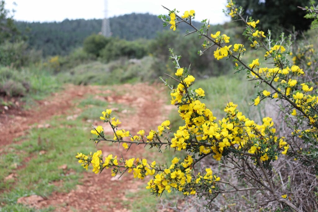
Despite the bad weather, the trail was lovely – the terrain had completely transformed with the winter season. On every side, we were surrounded by fragrant blossoms. They grew in shades of bright yellow, purple, and red.
Surrounding the trail were picturesque agricultural areas. There were vineyards and neat, young olive groves. In the distance, we could see rolling hills and small towns.
Steady Walking to a Sheikh’s Tomb
As we continued along, the weather improved, grey clouds making way for puffy white ones. We passed by an anonymous ancient sheikh’s tomb, which I remembered from our previous trip along this trail. And as we climbed over one small hill, we saw a white tailed fox dart out from under a scraggly oak tree, bouncing away through the tall, green grass.

We headed down a rocky hill (which had been slippery with dust and small rocks months earlier), and continued walking, taking in the beautiful scenery. I was happy that we had opted to stick it out on this trail, despite the bad weather. With every step, our day felt warmer and cheerier.
Breakfast Time
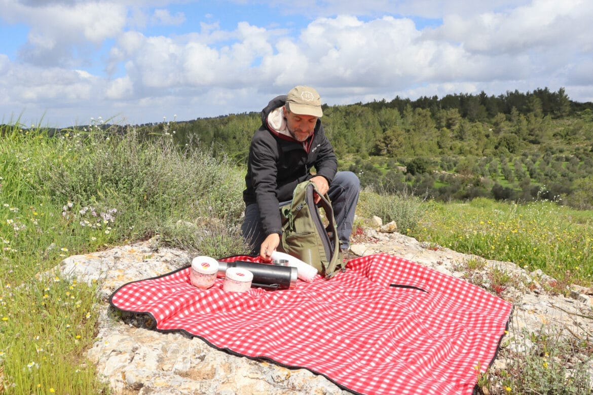
When we reached the bottom of the hill at Hurvat Durban, we knew we had found our coffee spot. There, the fields of wildflowers were so enticing – there were chamomile flowers, along with anemones and butterfly orchids. We spread our picnic blanket over a large rock and got ready to relax and take in the views. Rolling hills and valleys filled with olive groves completed the scene.

Luckily for us, the sun was now peeking through the clouds. As we sipped hot coffee, we marveled at the incredible change that a few months had brought to our surroundings. The clouds dispersed, and we began to strip off our winter layers, basking in the warm sunshine. Our border collie liked the sun too.

Ancient Ruins
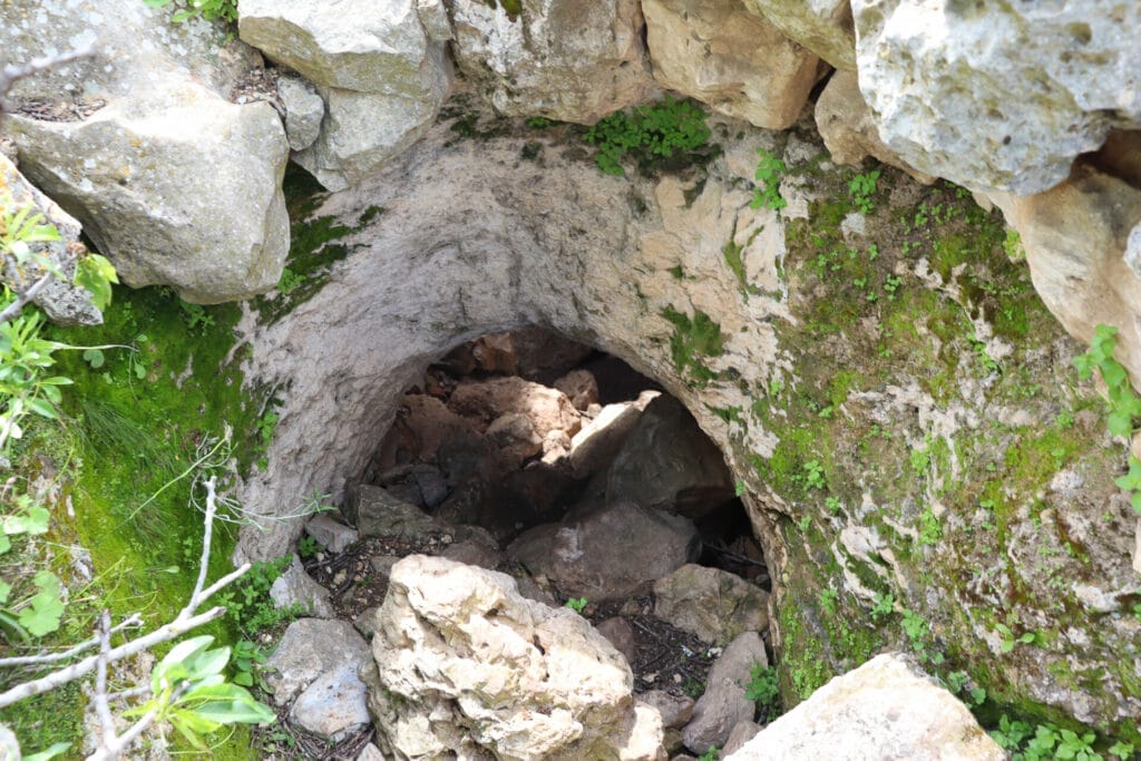
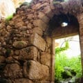
After a delightfully relaxing breakfast, we headed up to the top of Hurvat Durban. It had been difficult to find much information about this place online. But in person, it was fun to explore. We saw a columbarium, some cool caves, and an ancient olive press. From my limited research, it seemed that archeologists had discovered a royal seal here from the time of King Hizkiyahu, and clay pottery from the Persian period.

Despite the murky history, we had fun at Hurvat Durban. And of course, at this time of year, it was beautiful there. Perhaps we’ll learn a bit more about the identity of Hurvat Durban when we hike here with our Israel Trail group in the future…
The Way Home
After Hurvat Durban, we left the Israel Trail to take a different path back towards the trailhead. It always surprises me to see completely different flowers grow in places that are only separated by a few meters. Along this trail, deeper in the valley, we noticed tall purple wildflowers that we hadn’t seen on top of the hill.

We hiked along, past a pretty forest, towards the trailhead. On the last stretch of the trail, we came across our first fellow hikers of the day, a group with a guide heading out for an afternoon adventure. We said hello, then continued back to our car.
Our 6K hike to Hurvat Durban along the Israel Trail hadn’t been remarkably different than any other trail. What made it special was the gorgeous early spring scenery. This was a perfect loop trail near Beit Shemesh and Gush Etzion for a quiet morning out in nature.


Hikers’ Notes:
- This trail is best suited to cooler days in fall, winter, and spring. This trail is not shaded at all.
- Suitable for dogs.
- Wear good hiking shoes to hike this trail - it is rocky and can be slippery.
- Bring a hat on sunny days and plenty of water.
- To follow the trail, use the Google Earth file, trail map, and trail marker gallery in the table at the top of the page. This trail is well marked and easy to follow.
- Take Israel Trail to the right from your parked car (right off the the road). Follow Israel Trail (which goes from the blue to the black trail) to Hurvat Durban. After Hurvat Durban, follow the black trail to the left back to your car.
Don’t forget to read my guide to the navigational features in this post before you hit the trail!
Trail map from Amud Anan.
Questions? Have you hiked this trail to Hurvat Durban? Let’s hear about it in the comments!