| Trail Map | Terrain View | |
| Distance: 13km | Time: 4-5 hours | Difficulty: Strenuous |
| Ascent: 317m |
Click here to go straight to hike notes.
The desert: its quiet emptiness and stark beauty touch my soul every single time.
After several weeks of humming busy-ness, my husband and I were really in need of a desert escape. Luckily, there were dozens of nearby desert trails that we still hadn’t tried. So this time, we decided to hike a circular trail through Nahal Yizrach, Nahal Bokek, and up Tsuk Tamrur.
We’ve had our eye on Tzuk Tamrur for a while. This sheer desert cliff towers above flat terrain, beautiful and appealing. We were really excited to climb to the top. But first, this trail was going take us through two silent desert riverbeds.
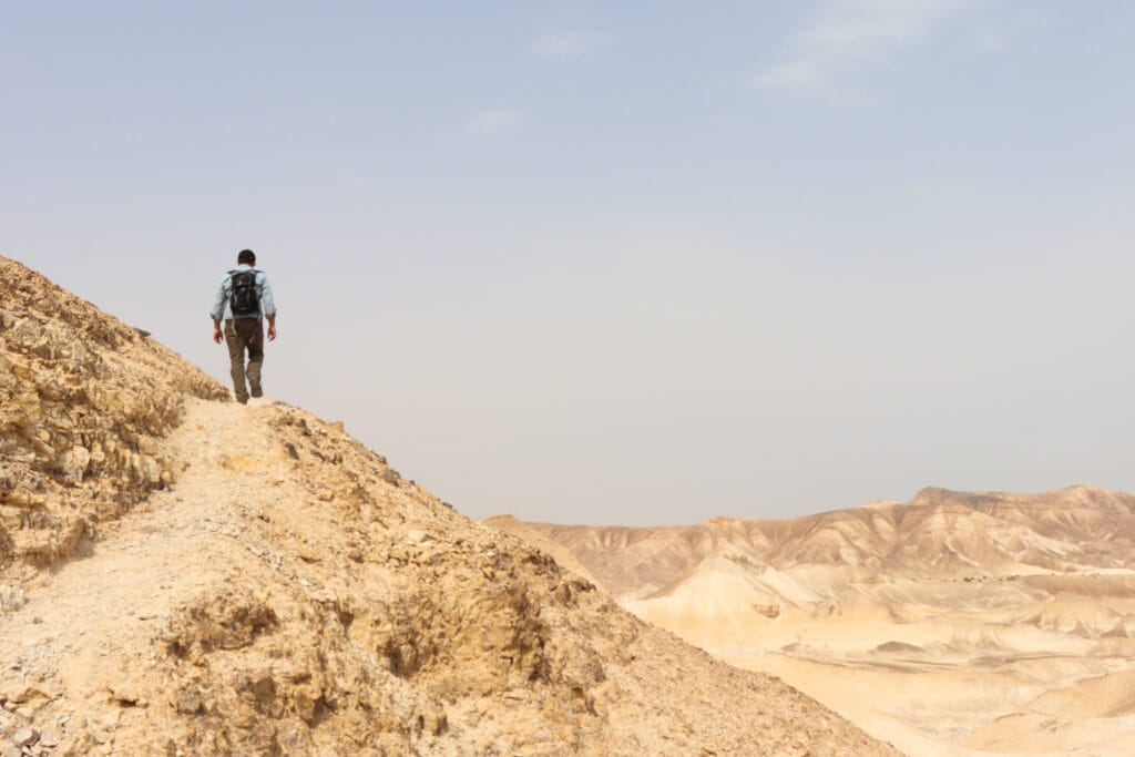
The first was like a meditative walk in the desert. The only testament to the fact that Nahal Yizrach was in fact a riverbed were the plants and flowers growing along the trail. Next, came Nahal Bokek – an awesome journey through the upper half of one of our favorite desert wadis.
After a long walk in the desert, our climb up the mountainous terrain of Tsuk Tamrur was wonderful. And the view from the top was otherworldly.
Here’s how we took this quiet, but incredible, 13 kilometer hike through the desert:
Rambo Road
We pulled off the highway onto a famous strip of asphalt known as the “Rambo Road.” This paved road was supposedly put together for the filming of one of the Rambo movies. We parked and emerged from our car onto flat desert terrain. The only landmark around (besides Rambo Road) was Tsuk Tamrur, which towered in the distance behind our car.
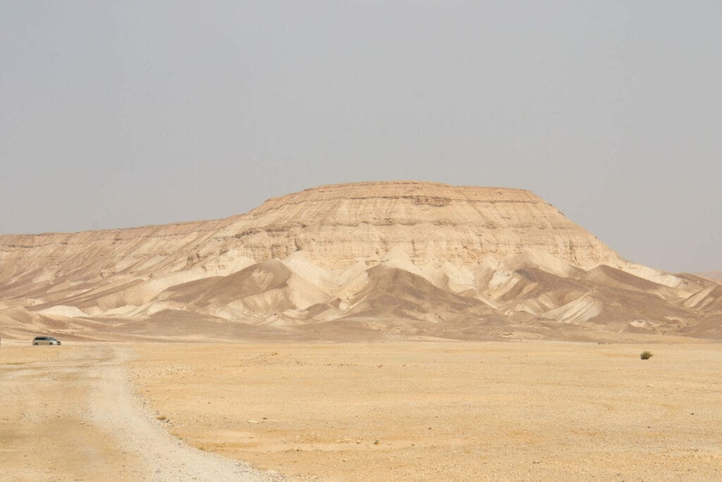
We walked down the road until we found the blue trail, then turned into Nahal Yizrach for a long walk through the desert. The terrain was mostly flat and uninteresting. But it was quiet. This was just what we needed – we were happy to be surrounded by thick silence.
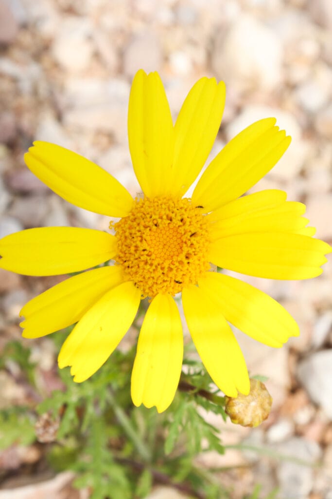
Every once in a while, I paused to take pictures of the colorful flowers and plants growing in the wadi. This growth was evidence that this was, in fact, a riverbed, where water runs through during rainstorms.
Dr. Seuss Hills
After some hiking, we reached an area with a bit more character. Small conical hills rose up from the flat terrain. I climbed to the top of one, only to discover that it was made up of crumbly rock and sand.
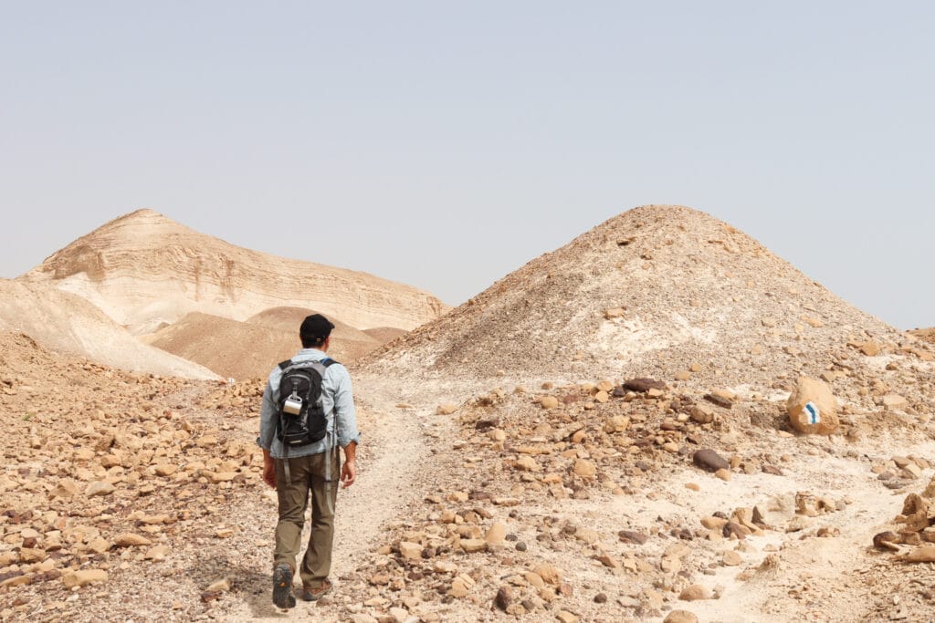
We passed by more strange shapes in the desert as we walked. Then soon, we reached the turnoff to the green trail and Nahal Bokek, which we followed to the right. We continued to hike in a world of silent beauty until we reached the most incredible sight.
Feels Daring
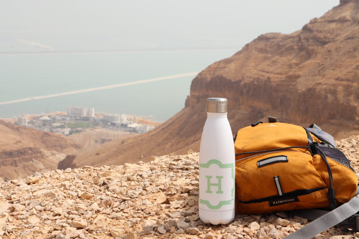
Nahal Bokek is a Dead Sea area trail well-known for its flowing water and springs. From up here at the top of Nahal Bokek, we could see the winding valley down below, ending in the aquamarine waters of the Dead Sea.
But rather than gradually descend as wadis often do, this part of Nahal Bokek was a sheer cliff, descending into the depths of the valley in one sharp vertical drop. The cliff was completely solid, but we still felt like daredevils as we approached the edge. We gazed out towards the rocky crevice below, the stone creating a window to the world of Ein Bokek down below.

The view was absolutely incredible.
Although it was hot and sunny in that spot, it was still the perfect place to stop for breakfast. We pulled out our coffee, muffins, and iced water and relaxed on the edge of the cliff for quite some time. There was nobody else around. It was just the two of us on the edge of a precipice.
Back Through the Nahal
We could have sat there all day long. For us, spending time in that spot was even more relaxing than sitting on the beach. But we had to continue on our journey if we were going to make it to Tzuk Tamrur that day. Reluctantly, we packed up our bag and returned to the green trail, heading back in the opposite direction.
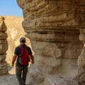
After retracing our steps, the terrain began to get more and more interesting. We passed by cool rock formations, climbing up and down through the rocky riverbed. There were other hikers in this part of the desert, attracted by more varied terrain of Nahal Bokek.
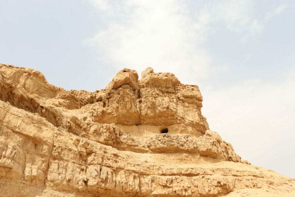
We reached a space in the gaping rock where birds swooped through, catching the breeze as it bounced off the sides of the canyon. And then we began to climb, first just above the riverbed, then on to the higher ground that led to the top of Tsuk Tamrur.
Climb Time
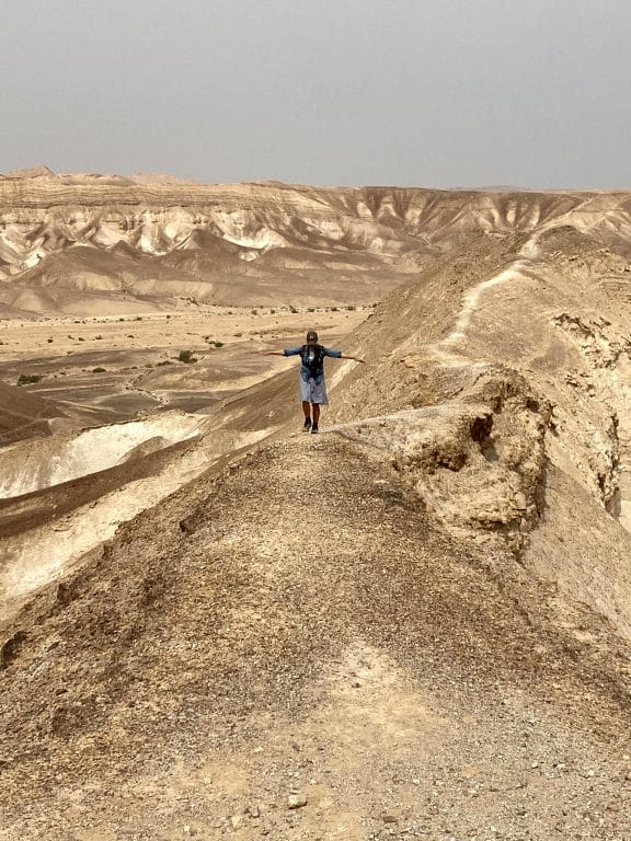
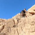
We climbed higher and higher and higher still. Looking out as we ascended, the nearby desert looked like an artwork: the multicolored rock seemed to be spread back and forth by strokes of a paintbrush.
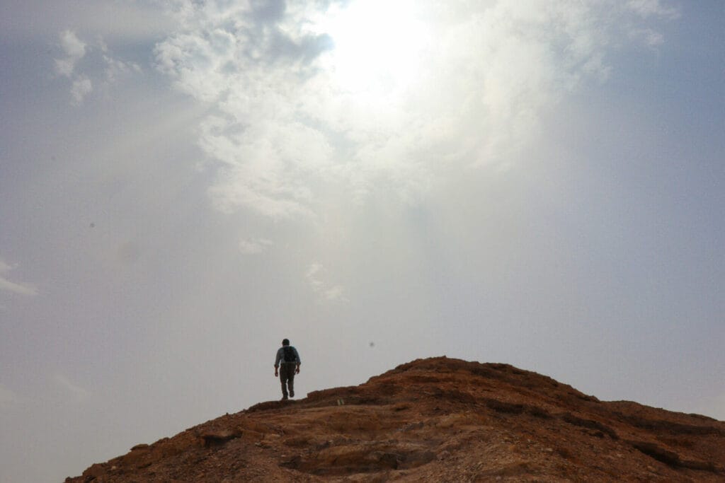
The sky itself had become overcast and cloudy, blocking out the intense desert sun just in time for the hardest part of our ascent. We continued to climb through the last, very steep, part of the trail. Finally, we reached the flat-topped mountain and Tsuk Tamrur.
In the Distance
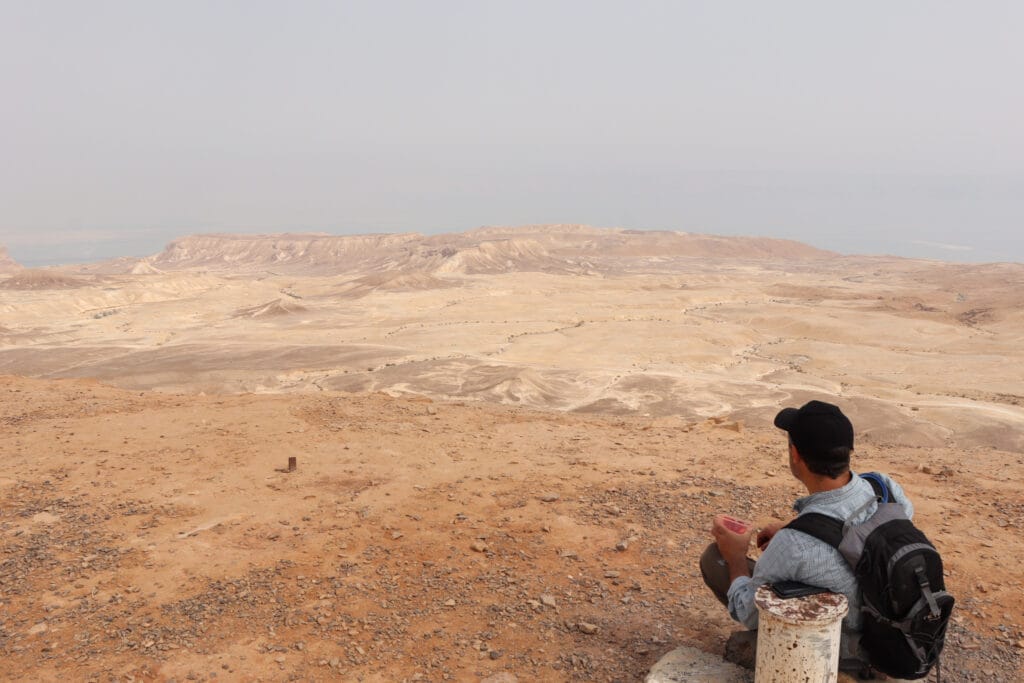
From here, we walked across the strangest terrain we could remember seeing on the top of a mountain. It was absolutely flat. The only protrusion was a single plant full of purple flowers that grew amongst the pebbles. We crossed all the way to the other side of Tsuk Tamrur, where at the cliff edge, we could stop and take in the scenery.
From our viewpoint on top of Tsuk Tamrur, we could see everything: the rolling hills of desert sand, the snaking valleys, rock formations, the Dead Sea, and even our car: a little golden speck in the distance. A cool breeze blew in our faces. And we felt we had achieved everything we set out to accomplish that day.
As we retraced our steps and followed the green trail down the other side of the mountain, we relished a sense of deep peace. That morning, we re-discovered the beauty of the silent desert. At Nahal Bokek and Tsuk Tamrur, we took a 13 kilometer journey through magnificent desert terrain.

Hikers’ Notes:
Here’s what you need to know to hike this trail to Tsuk Tamrur:
- This trail is best suited to cool days in fall, winter, and spring. The trail is mostly exposed to the sun, so it's even better on cloudy days.
- Bring water and a hat and wear good hiking shoes to walk this trail.
- Suitable for dogs.
- There is a free, no-facilities campsite at the beginning of this trail.
- To find your way, use the trail map and trail marker gallery in the table at the top. OR use the Google Earth file to follow your location along the trail we took.
- Trail colors: Begin on black. Make a left onto blue. Follow blue to green. Make a right onto green until you reach the lookout to the Dead Sea, then turn back the way you came. Follow the green trail through Nahal Bokek and over Tsuk Tamrur. At Tsuk Tamrur, leave the trail to take in the views. Then return and continue on the green trail until you reach the red trail. Take the red trail back to the campsite/parking.
Don’t forget to read my guide to the navigational features in this post before you hit the trail!
Trail map from Amud Anan.
Questions? Have you hiked this trail to Tsuk Tamrur? Let’s hear about it in the comments!
