| Trail Map | Terrain View | |
| Distance: 5.5-8km | Time: 2.5-4 hours | Difficulty: Moderate-Strenuous |
| Ascent: up to 241m |
Click here to go straight to hike notes.
Deserts, canyons, desert canyons…we’ve hiked through a lot of them lately. But what I’ve discovered is that every desert hike in Israel really does have its own distinct character. There are qualities that define each one of these trails and make them all different.
Another thing I’ve learned – the desert is absolutely beautiful. Far more so than I ever imagined. There really is a lot to see in this harsh landscape – from animals, to plants, to the tracks a rain river makes through the rock during flash floods.
This past Friday we went on a desert hike in Nahal Peres. At 5.5 kilometers, we were hoping that it would be a bit more manageable than some of our long desert treks.
And we were right. Nahal Peres was an easy and beautiful hike that led out to pools of water (perfect for swimming in if you’re brave). Take the short circular route through this trail, and you’ve got a relatively simple hike that gives a great sampling of desert scenery.
But of course, we couldn’t leave it at that. Once we were out there on the trail, we had to keep going. When all was said and done, we had hiked an 8 kilometer circular trail that descended into the deepest canyon we’d ever climbed into. It was spectacular.
Here’s how we hiked through Nahal Peres and what we saw along the way:
Bopping Along a Desert Trail
We pulled off the highway towards an unmarked parking lot and found the trailhead. The first part of the hike would lead us down the Israel Trail, also marked with red trail markers.
Right away, the trail was pleasant and beautiful. Even though it was a cold day, the sun warmed us up. The cloudless blue sky stretched out over piles of sand, white trails swept this way and that by the wind.
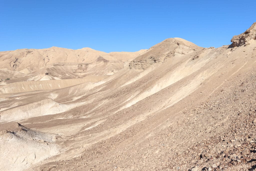
During this part of the hike, we descended towards the riverbed. It was an easy walk downhill for a good twenty minutes until we hit the first crossroads.
From here, the red trail wove back and forth, crossing the black, then the blue trail. After a little more trekking through the desert, we reached the green trail and the Nahal Peres itself.
Into the Splash Zone
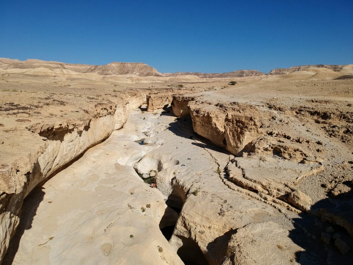
Anyone who’s seen a desert riverbed knows that that the scenery around it is completely different than the rest of the desert. At Nahal Peres, white rock emerged out of the sandy desert landscape, creating a smooth channel for water to flow through.
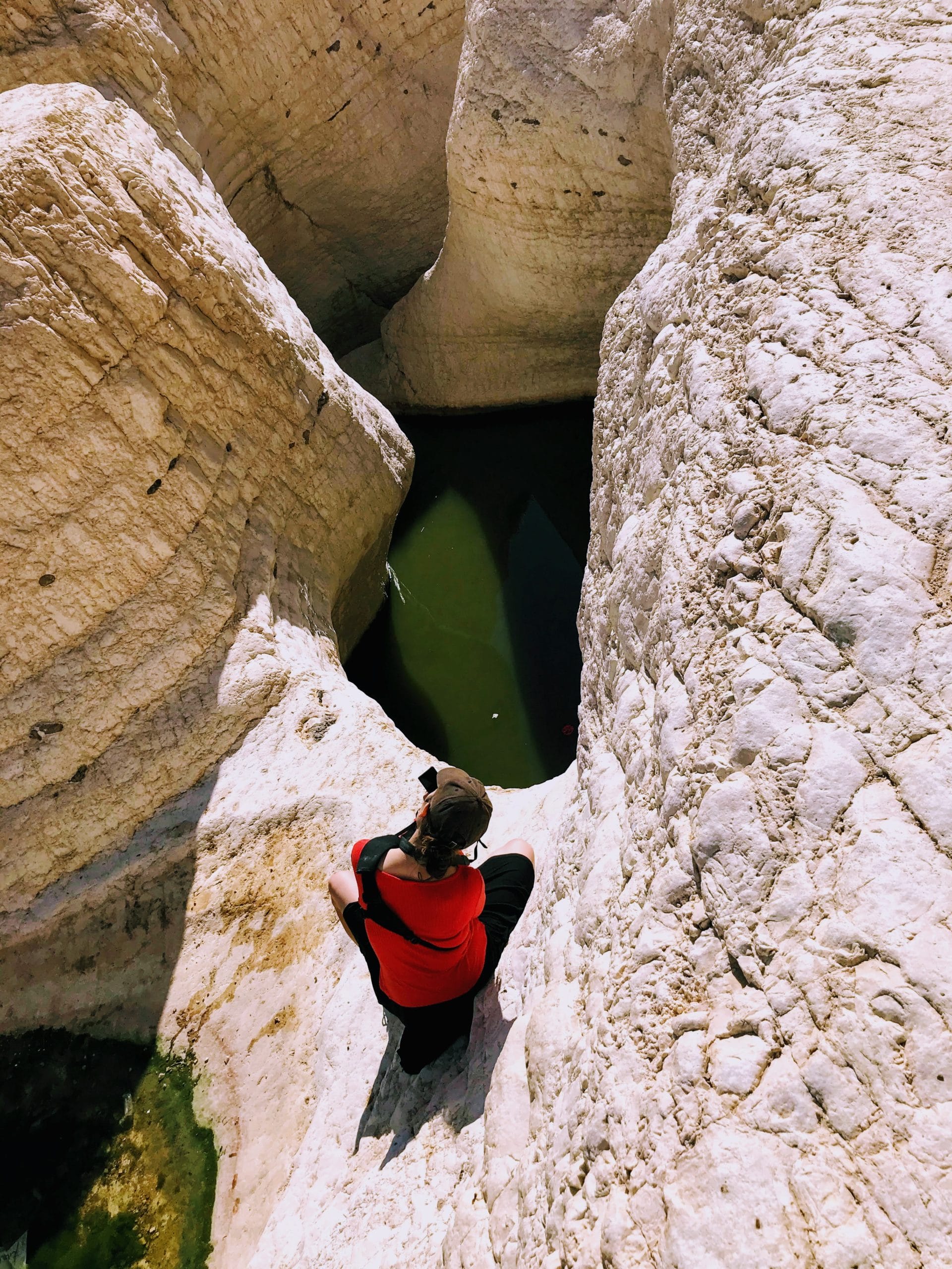
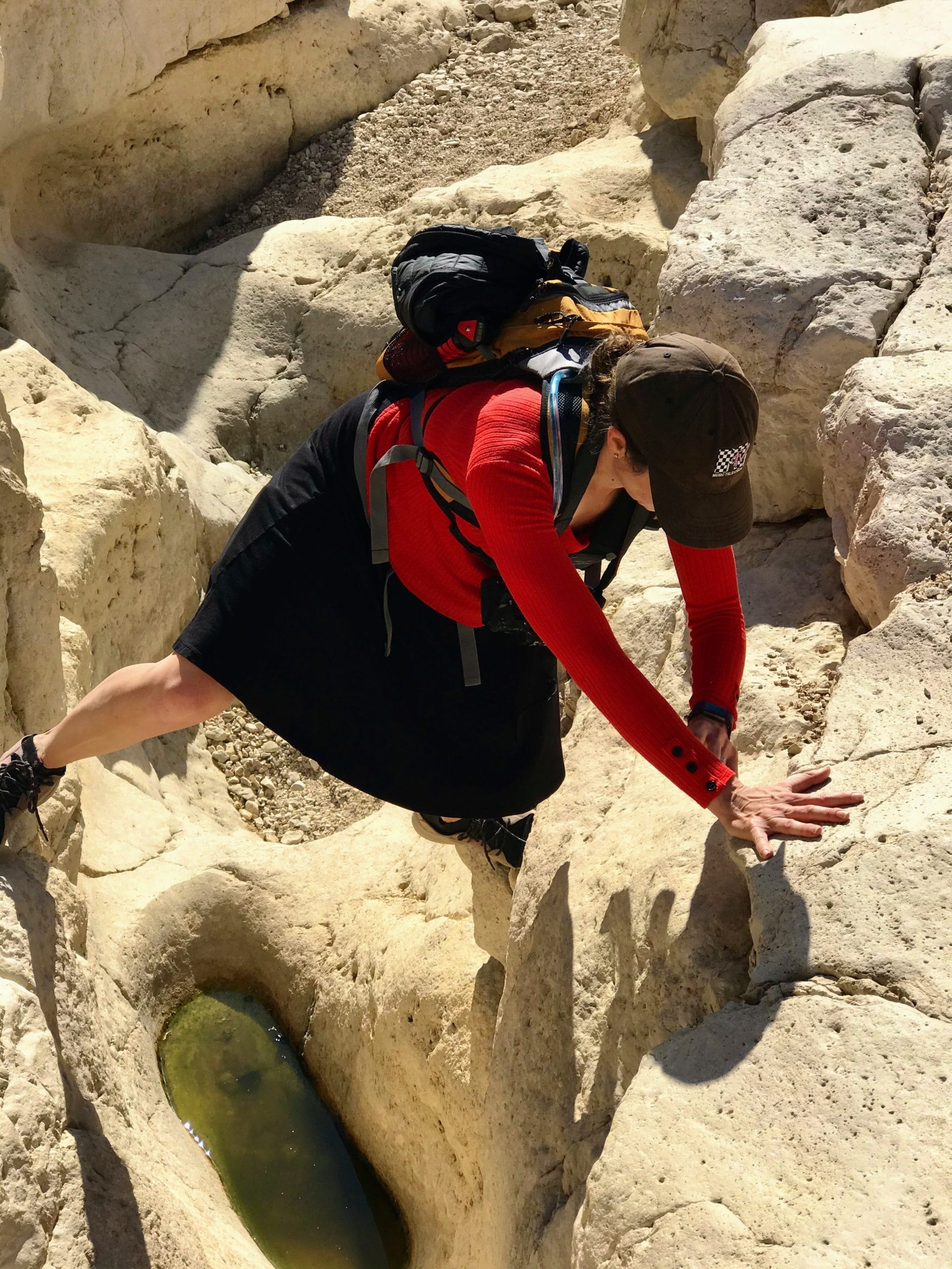
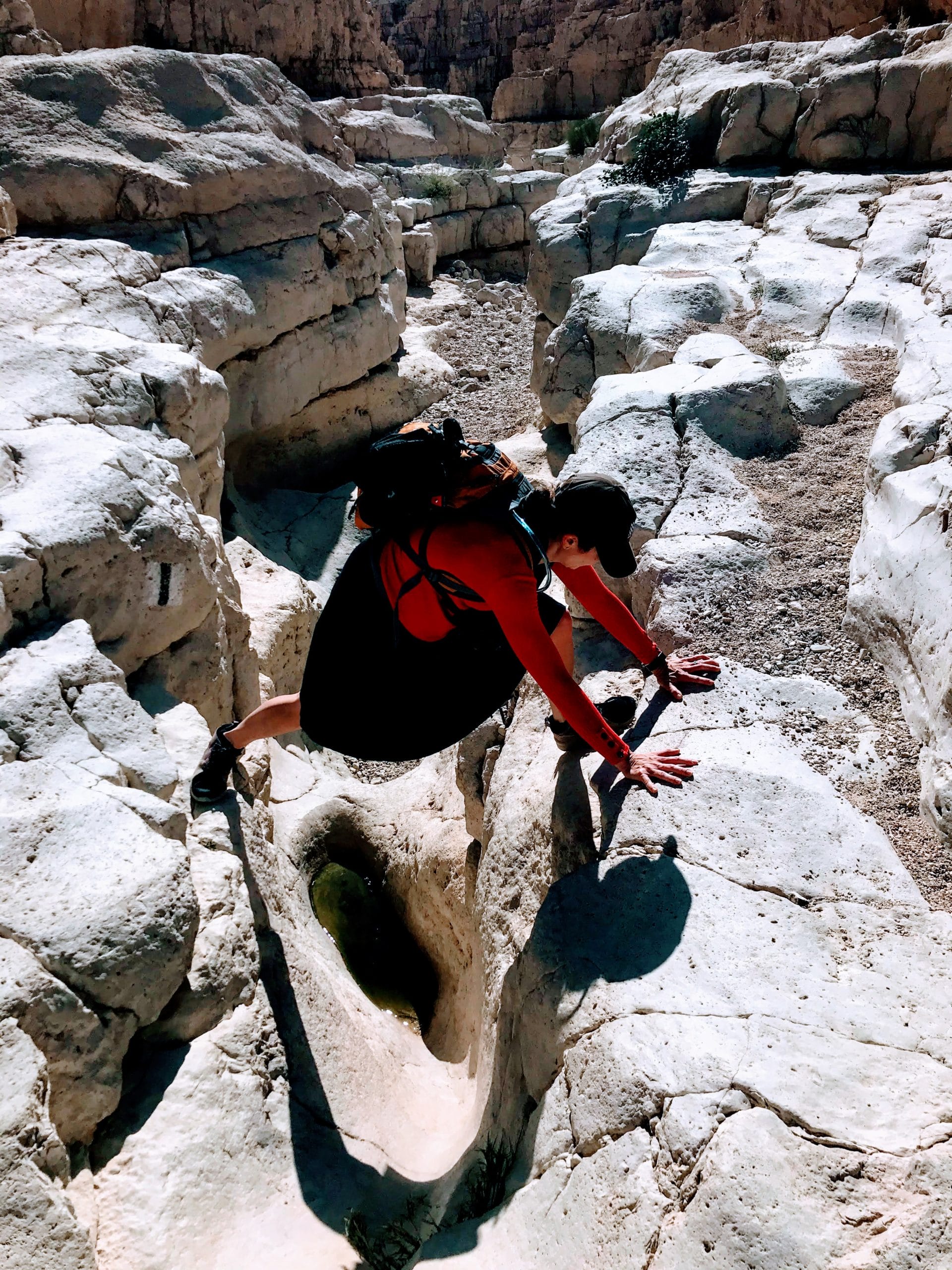
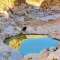
After a minute or so on the green trail, we took a breakaway trail towards the main attraction at Nahal Peres – the standing pools, large pits within a canyon that were filled with water, trapped from flash floods.
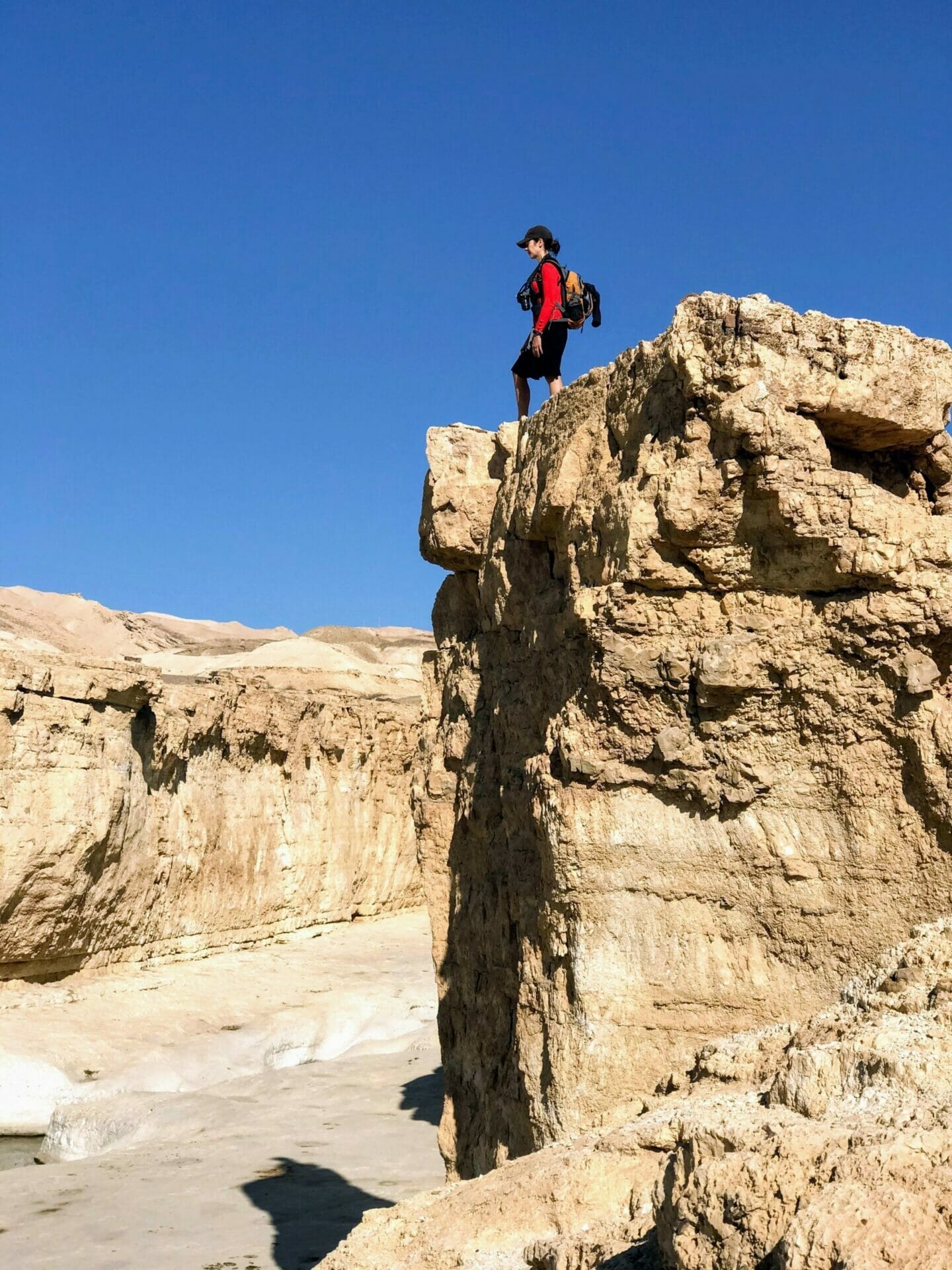
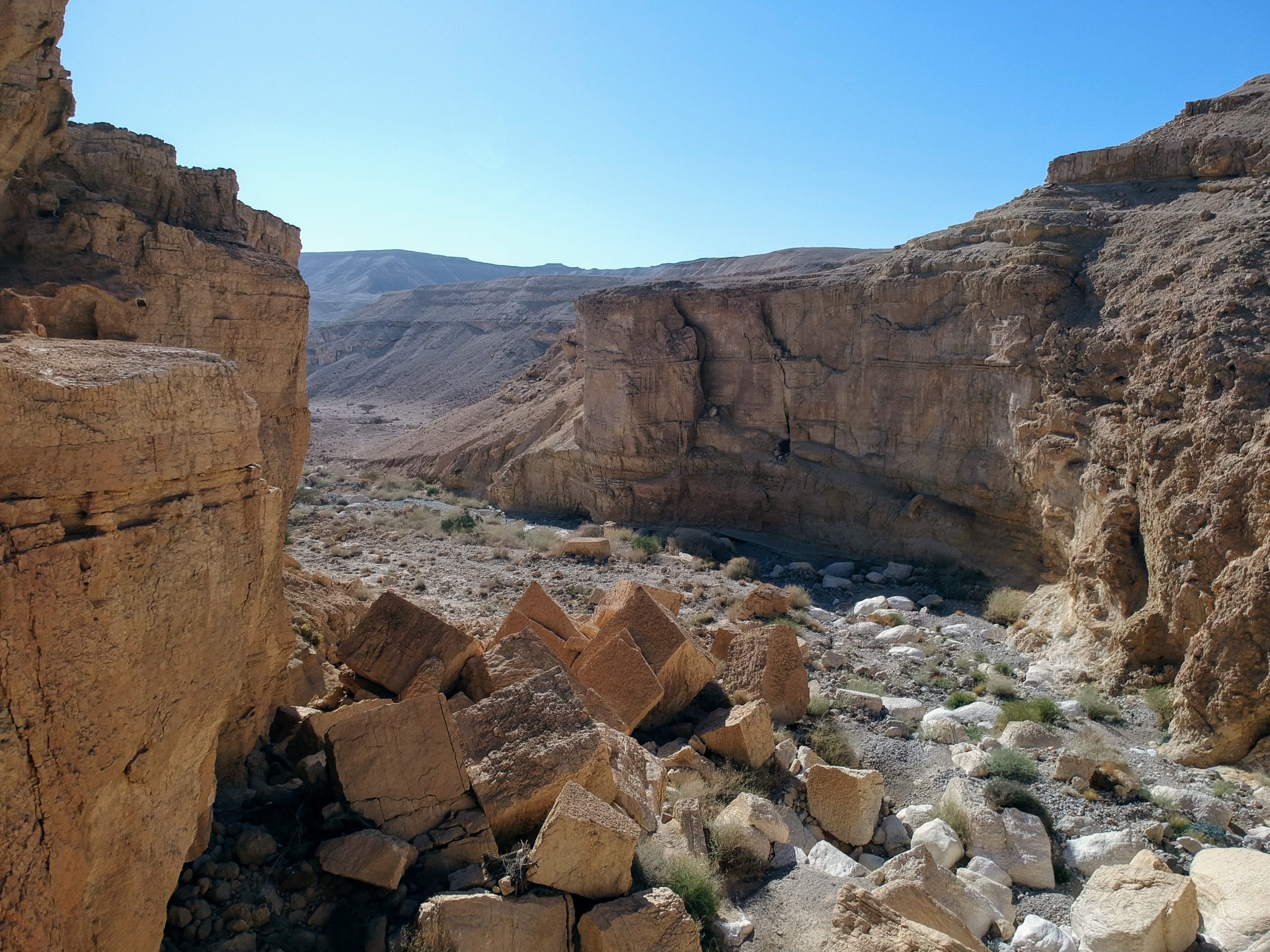
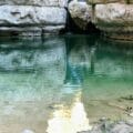
We tiptoed carefully to the edge of the pools, peering down into the green-blue depths. Aside from the coolness factor of the pool themselves, the area all around was really picturesque – from the tall towers of stone to the gaping riverbed up ahead. Past the splash zone, a field of giant boulders lay strewn about in the center of the canyon.

Practically Disneyland
One thing I’ve learned from hiking a lot – an outdoor area can be anything you make of it.
My husband and I love the quiet silence that comes from gazing out into a desert. We love hearing the birds call, and seeing them swoop down through narrow walls, performing practically impossible feats of speed and grace.
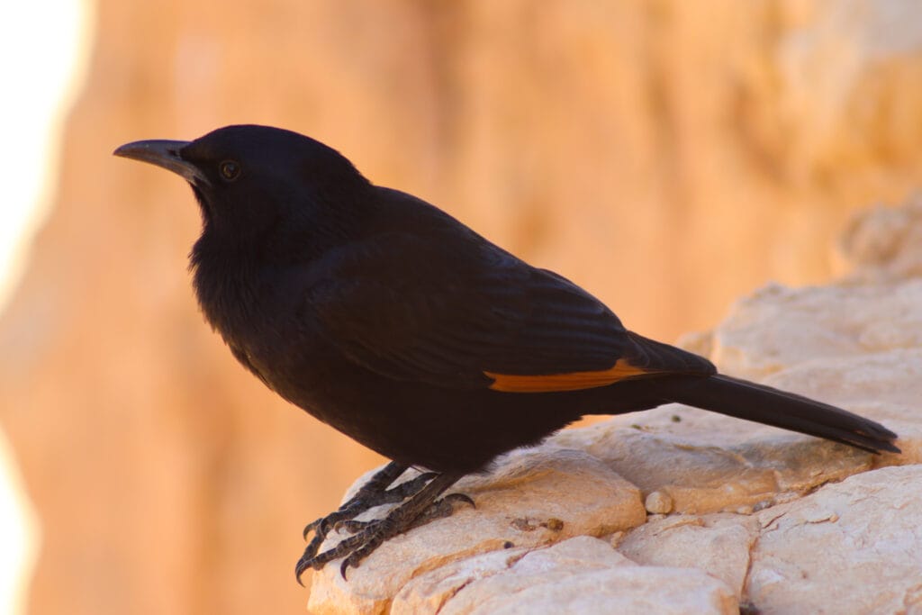
As we sat down and put down our packs, two little desert birds landed right at our feet. They weren’t at all afraid, no matter how much we moved around. It was clear that they were there for lunch– and they weren’t going to leave until they swiped some crumbs.
This made the experience all the more interesting. We now had two little feathered friends to share our time in the canyon with.
Before long, more visitors arrived at the pools – a pack of teenage boys, looking for some Friday fun.
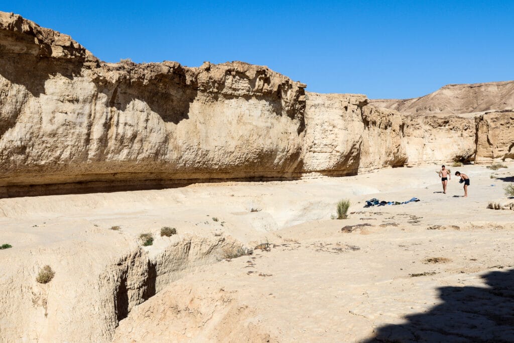
One by one, they stripped off their clothes, then cannonballed into the cold water. After jumping into the first pool, they would swim to the far end, then jump into a pool a few meters down.
And so, the fun continued. Their whoops of joy could be heard echoing throughout the canyon.
Decision Time
After all of this excitement, we packed up our bags again and continued on towards the rest of the riverbed. We were already almost halfway through the 5.5 kilometer hike. And while the incredible scenery continued as we walked, we couldn’t help feeling that we would love to go just a bit longer.
Luckily for us, we discovered that there was a place to pick up the return trail further along. We had extra time to spare, and it couldn’t take more than an hour to cover the additional length (or could it?!). So, on we continued.
It didn’t take us long to realize that we hadn’t completely thought this through.
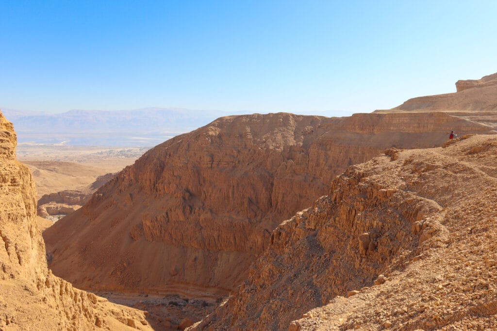
As we hiked, the canyon got deeper…and deeper. We remained high up above the canyon on the green trail. But we knew with certainty that the trail back would head through the canyon itself. Which meant that we had to get down to the bottom of it somehow.
We walked on, increasingly incredulous. How could it be that the two trails crossed up ahead, as shown on the map? At this point, we were a couple of hundred meters above the bottom of the canyon.
Here’s Your Ticket Home
But we had nothing to worry about. Up ahead, we saw guard rails down below, letting us know that there was indeed a path to the bottom. And sure enough, a minute later we saw the black trail, heading almost vertically down into the canyon.
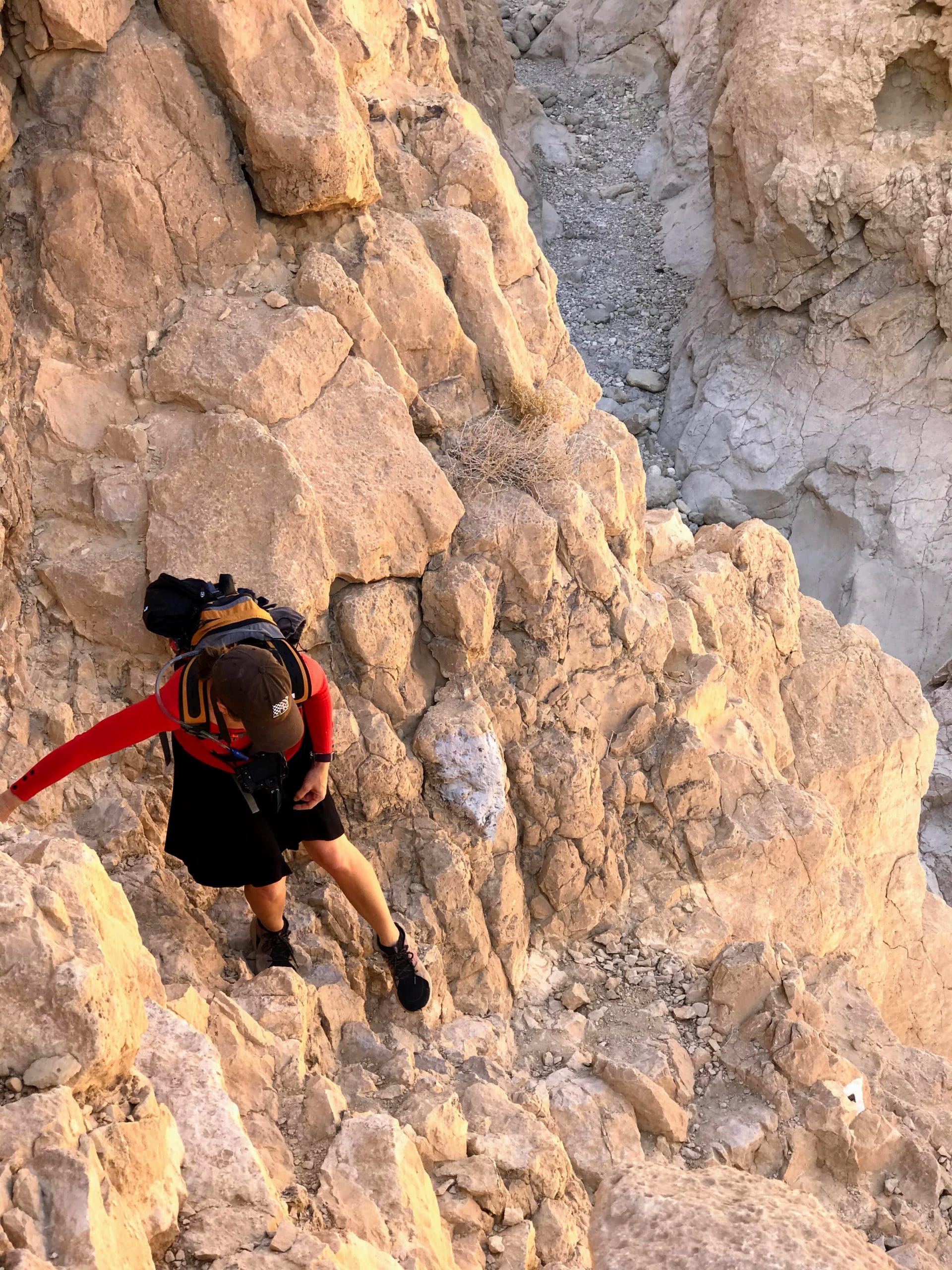
We took the trail down, moving at a cautious but still rapid pace. This cute little trail was not for those who fear heights. The guard rails were there in some places. In others, there was nothing between us and a drop down into the canyon.
After a few minutes of careful maneuvering over death defying drops, we were at the bottom of the riverbed. Now all that was left was to climb through Nahal Peres, back to the level ground.
Feeling a Little Bit Like Spiderman
If there’s a trail that runs through it, it can’t be that bad. At least that’s what we told ourselves as we made our way along the black trail through Nahal Peres.
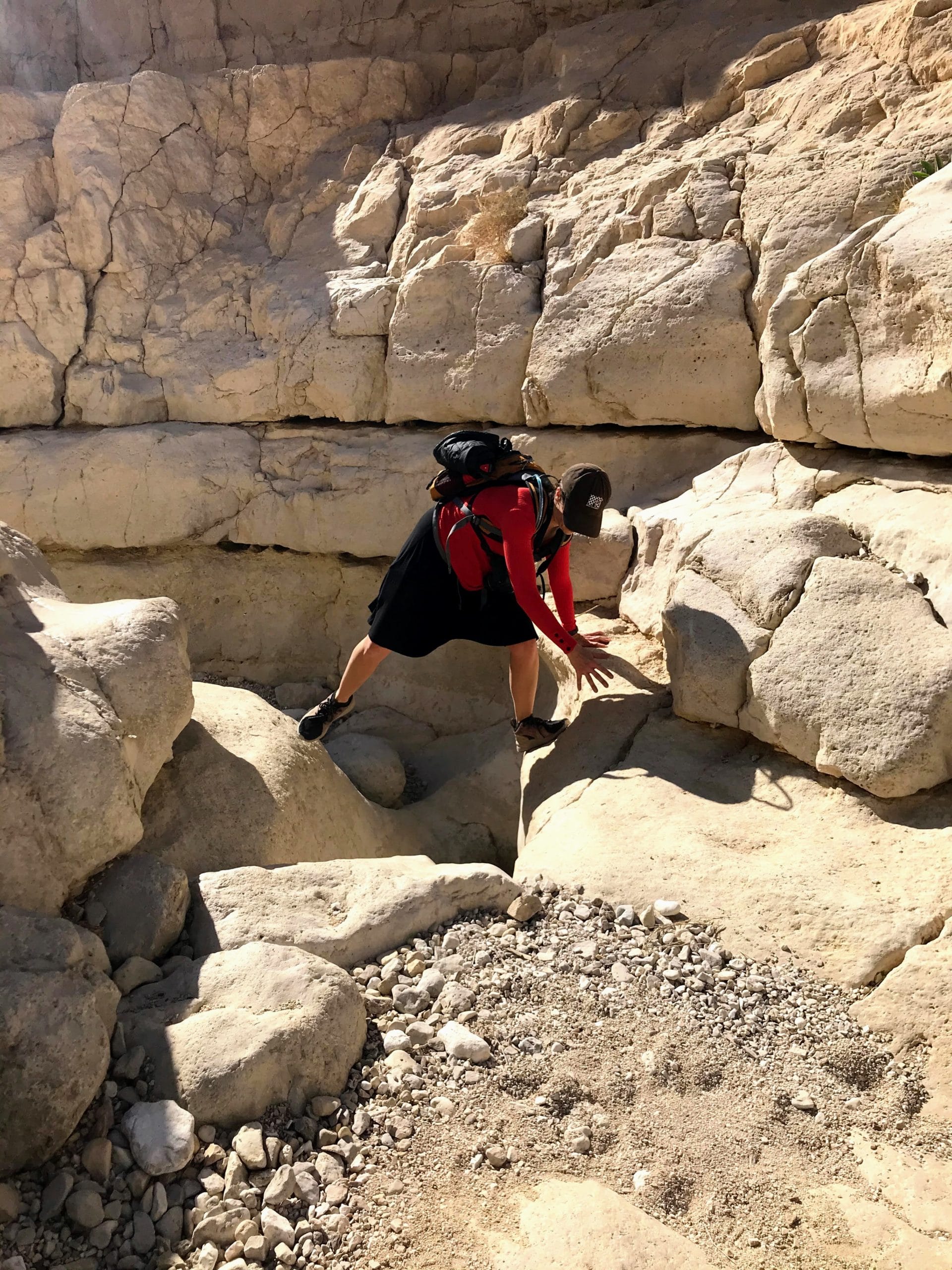
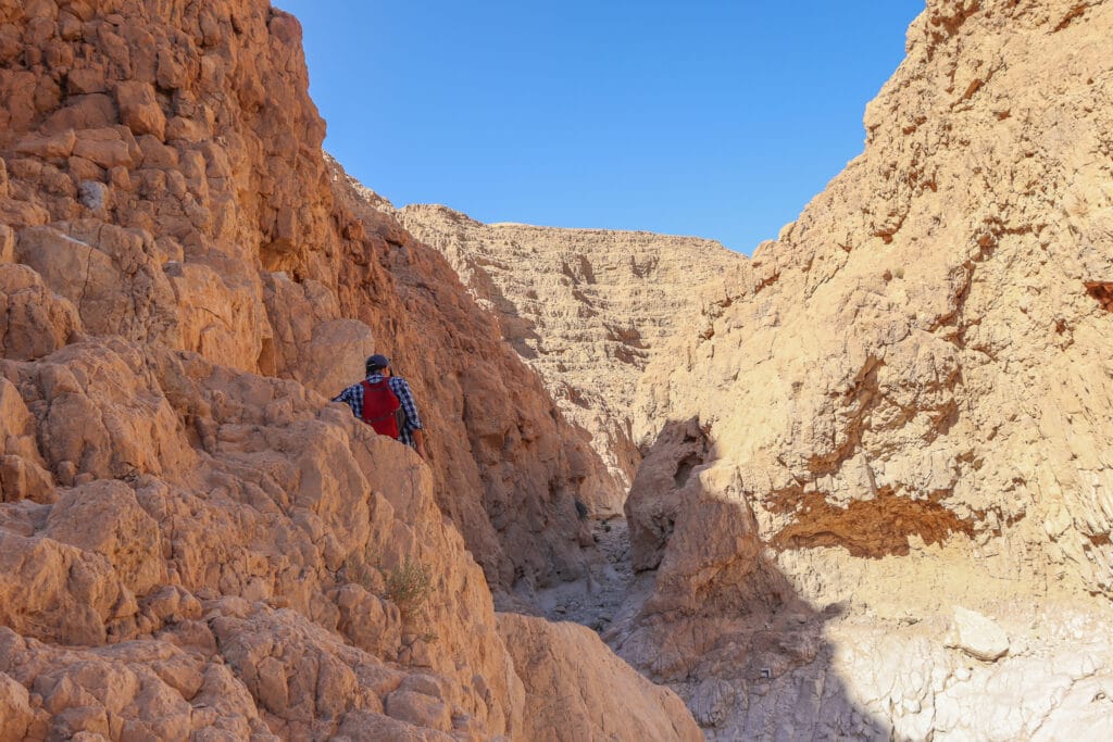
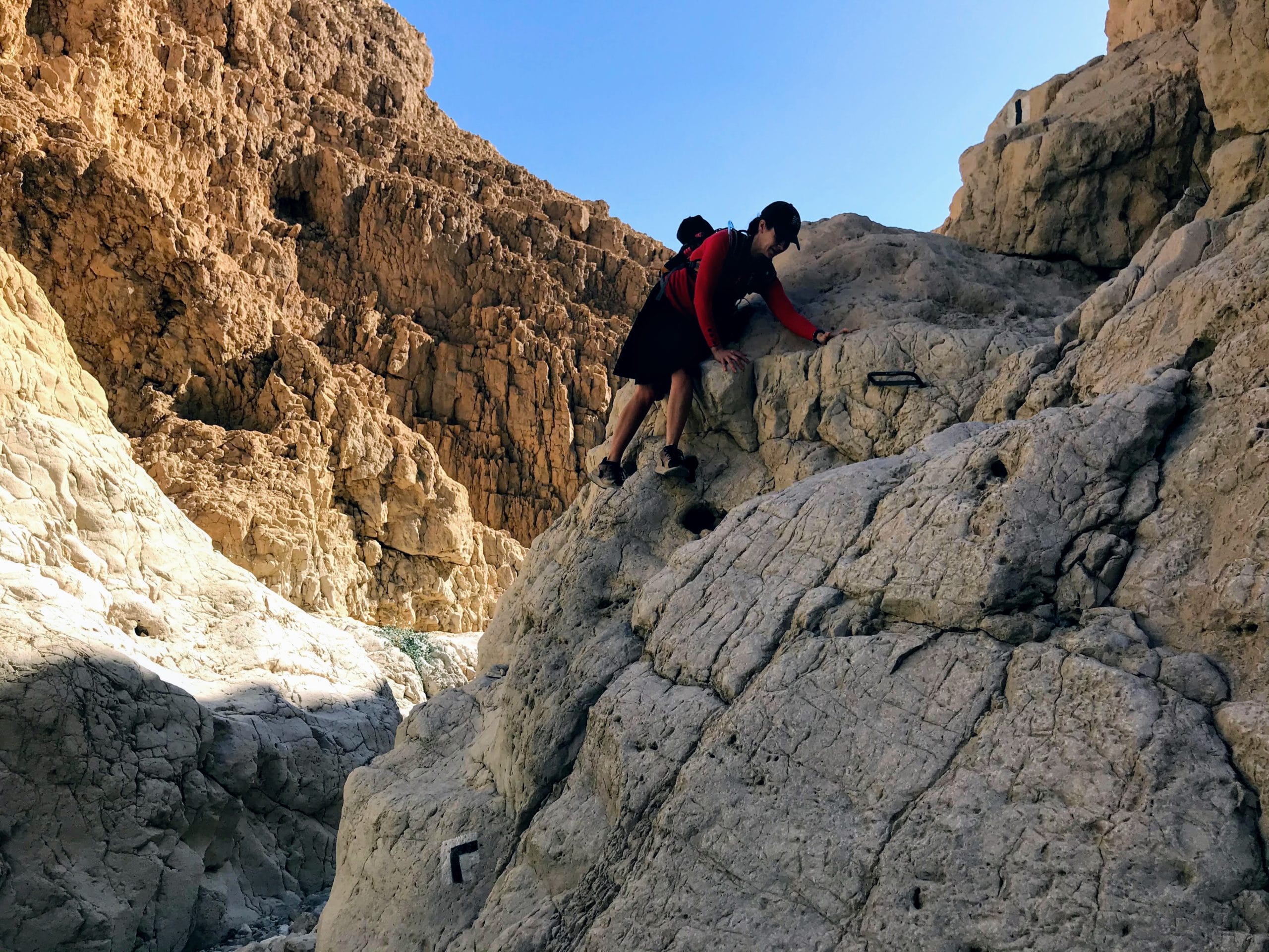
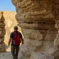
And for the most part, we were right. The rock formations inside the canyon were beautiful. We had to do a bit of climbing as we ascended in the riverbed. But nothing too drastic.
But there were places where the rock was smooth as silk, ascending with almost no small stones to grip, no place to put our feet. At these spots on the trail, we ran as fast as we could towards the ascents, then used momentum to push up towards the other side.
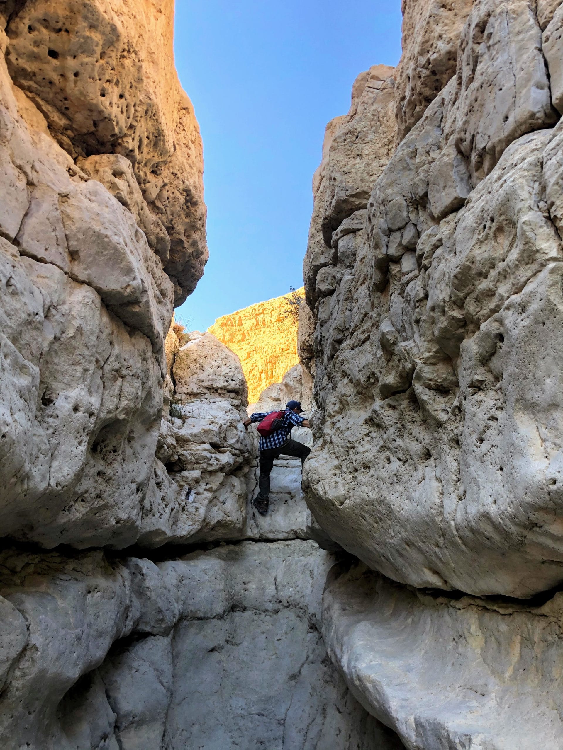
When we finally made it to the end, we felt a sense of exhilaration. It hadn’t been the easy addition to the hike we had expected, but the challenge of climbing out of Nahal Peres had made the whole trek simply amazing.
Back on Black
From the crossroads, we continued to walk the hike the way we had initially intended – along the black trail near Nahal Peres and back to the first red trail.
Soon we were heading up the red trail, back towards the place we had parked our car. As the sun climbed in the sky, every trace of winter cold evaporated.
Even the short Nahal Peres hike would have been a great discovery. But the longer hike we took through the riverbed added an extra challenge that turned beautiful desert scenery into an amazing adventure.

Hikers’ Notes:
Here’s what you need to know about this hike:
- Always check the weather for flash flood warnings before any desert hike.
- This hike is mostly in the sun. Best suited for cooler days in fall, winter, and spring.
- Not suitable for dogs.
- To do the 5.5 k loop, follow red to green, green to black, and black back to red. To do the 8 k loop, keep going along the green trail (after you see the black crossroads). At the end of the canyon you’ll see a second intersection onto black. Follow it all the way back to red and continue to your car.
- Bring plenty of water, a hat, good hiking shoes, and sun protection.
- You can bring a swimsuit for the standing pools which fill up once the rainy season begins.
- Use the trail map and trail marker gallery to find your way on the trail. Use the Google Earth follow to follow your location along the trail.
Don’t forget to read my guide to the navigational features in this post before you hit the trail!
Trail map from Amud Anan.
Questions? Tips for fellow hikers? Let’s hear ’em in the comments below!



That extended hike looks almost extreme! Is the 5.5km bike suitable for dogs though? Thanks for your great posts.
It is almost extreme 🙂 And the 5.5 loops should be totally fine for dogs.
Thanks for the feedback!
Susannah