1. The trail from the campground. Follow black and Israel Trail.
.")
2. Walk through this tunnel towards Meron Stream (black and Israel Trail).

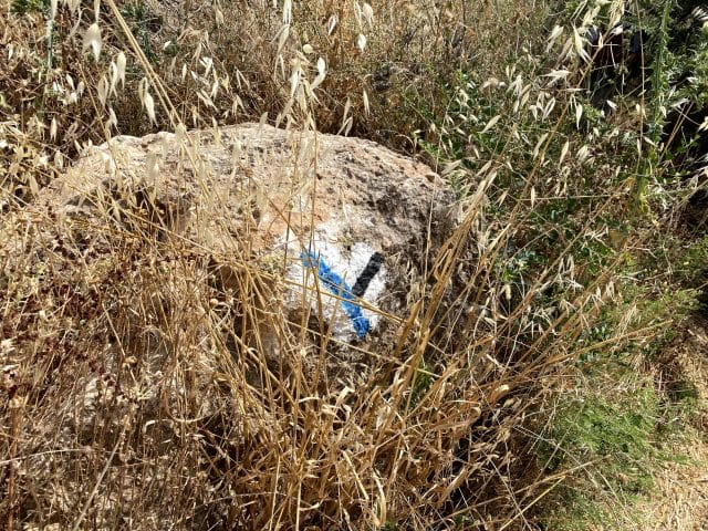
3. Israel Trail markings by Meron Stream.

4. Eventually, you will reach Nahal Amud. Follow the black trail through Nahal Amud.

5. This is where you leave the main part of the Nature Reserve. Follow the black trail.

6. The turnoff to Ein Koves and Tsfat. If you are taking the four day version of the hike, you'll turn onto the blue trail here. Otherwise, stay on the black trail.
. Then turn left to follow the blue trail towards the Mekorot station for water.")
7. Turn left to follow black trail (not pictured!). Then turn left to follow the blue trail towards the Mekorot station for water.

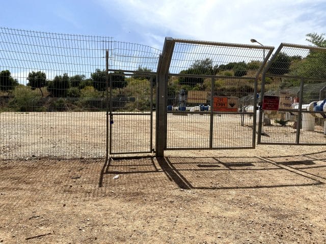
8. You will see a Mekorot Station on your left. Walk along the left side of the fence towards the back for water.

9. The water point is located on the backside of the Mekorot Station. Return the way you came on the blue trail after refilling.

10. After returning the way you came on the blue trail and passing the black trail, turn right where you see the black trail again.

11. Follow the black trail underneath the highway and through Lower Nahal Amud.

12. Follow the black trail past rock formations at the end of Lower Nahal Amud.

13. Continue to follow the black trail towards the sea.

14. Follow the black trail to the Kinneret. Alternatively, make a right on Highway 90 to reach Ginosar Beach.